


Why visit Kỳ Anh
Townapedia lists 1 museum or landmark and 2 places to eat in and around town.
Weather in Kỳ Anh
Forecast from MET Norway (CC BY 4.0). Full forecast
About Kỳ Anh
Kỳ Anh is a town of Hà Tĩnh Province in the North Central Coast region of Vietnam. The town split from Kỳ Anh District on 10 April 2015.
From the Wikipedia article Kỳ Anh (town) (this version), under CC BY-SA 4.0.
Museums and landmarks1

Restaurants and cafes2

Nhà hàng Cơm niêu Tiến Phát
Restaurant · Chicken, Deli · 1.7 km
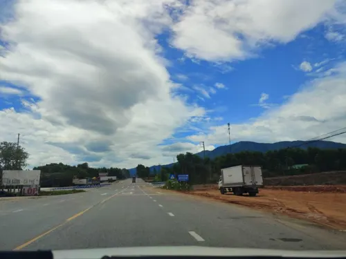
Đường Việt Lào


Shopping1

Gas and EV charging1

Schools, colleges and libraries1
Healthcare1
Map of Kỳ Anh
7 places. The map loads OpenStreetMap tiles when you open it.
Getting there and nearby towns
Dong Hoi Airport (VDH) is the nearest airport with scheduled flights listed in OpenStreetMap, 69 km away.
- Thiên Cầm 33 km northwest, about 33 min by car
- Ba Đồn 37 km south, about 37 min by car
- Cẩm Xuyên 38 km northwest, about 38 min by car
- Xuân Sơn 50 km south, about 50 min by car
- Hòa Hợp 49 km northwest, about 49 min by car
- Hà Tĩnh 52 km northwest, about 52 min by car
- Phúc Trạch 57 km west, about 57 min by car
- Hoàn Lão 59 km southeast, about 59 min by car
- Thạch Hà 57 km northwest, about 57 min by car
- Bùi Xá 62 km northwest, about 1 h by car
Drive times are estimates from straight-line distance, not routes.
Local news
Headlines from INDB.
Reviews, tips and questions
Loading what members have shared...
Sources and licences
- GeoNames (CC BY 4.0): population, coordinates, regions and time zone
- Mapillary (see each image): photos
- OpenStreetMap contributors (ODbL 1.0): places, airports, map data
- Wikidata (CC0 1.0): elevation, founding date, time zone, website
- Wikimedia Commons (see each image): photos
- Wikipedia (CC BY-SA 4.0): overview and history text
Photo credits
- Cang Vung Ang, Phó Nháy ( talk ) 14:30, 5 September 2011 (UTC), Public domain
- My house - panoramio (1), leanhvi91, CC BY 3.0
- Đêm ngoại ô, Giatuvukhi75, CC BY-SA 4.0
- Ngôi nhà yêu dấu cạnh cây đa Kỳ Trinh, Giatuvukhi75, CC BY-SA 4.0
- Street-level photo, hn_right_1, CC BY-SA 4.0
Page built November 8, 2026. Spotted a mistake? Tell us or suggest a place.