


Sa Pa, Vietnam
Sa Pa is a town of 10,554 people in Lao Cai, Vietnam, founded in January 1, 2020.
Why visit Sa Pa
Townapedia lists 5 museums and landmarks, 1 park or trail, 138 places to eat, 146 places to stay and 7 attractions in and around town.
Highlights include Cat Cat Village, Sa Pa Museum and Không Gian Văn Hóa - Sapa Tinh Hoa Hội Tụ.
Weather in Sa Pa
Forecast from MET Norway (CC BY 4.0). Full forecast
About Sa Pa
Sa Pa () or Sapa is a ward of Lào Cai Province in Northwest Vietnam. Prior to July 2025, it was a frontier township and capital of the former Sa Pa District.
From the Wikipedia article Sa Pa (this version), under CC BY-SA 4.0.
Things to do7


Museums and landmarks5



Parks, trails and playgrounds1

Không Gian Văn Hóa - Sapa Tinh Hoa Hội Tụ
Park · 0.6 km
001 Phan Xi Păng, Sa Pa
24/7
Restaurants and cafes138

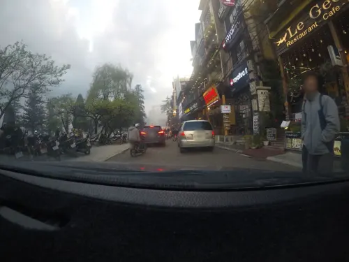
Little View Restaurant
Restaurant · Vietnamese · 0.9 km
042 Cau May Cau May Alley, Sa Pa
Mo-Su 08:29-21:30
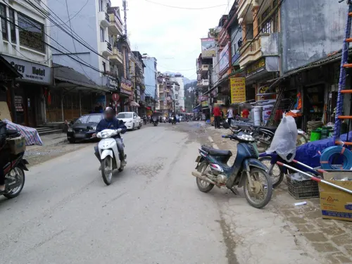
Sapa Rosemary Restaurant & Café
Restaurant · Coffee Shop, Asian, Vietnamese, Grill, Pizza, Chicken, Steak House, Barbecue, Breakfast, Pancake · 0.8 km
029 Phố Đồng Lợi, Sa Pa
Mo-Su 08:00-21:30
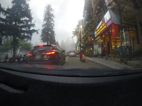
Ladybird Restaurant & Hotel
Restaurant · Vietnamese, International, Asian, Pizza, Pasta, Barista Coffee
We are proud to be one of the few pioneering family-run restaurant in Sapa since 1991 (known as the Observatory). We serve authentic and...
04 Đường Thạch Sơn, Sapa
Mo-Su 06:45-22:00
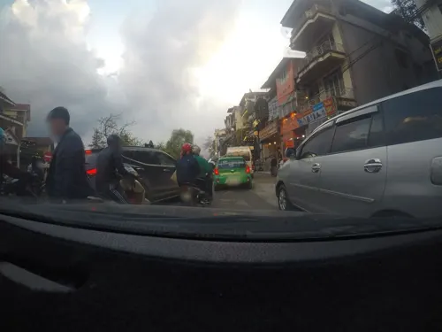



FUNNY PUB & BAR
Bar and pub · Pizza, Burger, Sandwich, Coffee Shop, Deli, Pasta, Tea · 1.1 km
069 Phan Xi Pang Str.
24/7
Good Morning View Restaurant
Restaurant · Italian Pizza, Local, Noodles, Pasta, Pizza, Savory Pancakes · 1.2 km
47 Mường Hoa
Mo-Su 09:30-22:00
126 more on the map.
History
In French-ruled Indochina, Sa Pa was originally settled as a hill resort station by colonialists, who deemed the cool, high-altitude plateau climate ideal for escaping the heat. Settlers equipped the town with railways and European-style hotels and villas to suit the preferences of the elite class, functionally operating as a European enclave. Sapa Church was built in 1925. Between 1938 and 1939, approximately 3,000 tourists visited the site.
Tourism halted during the First Indochina War, and in 1951 French forces bombed the town, destroying most of the previously constructed buildings. In 1991, after Vietnam opened up to a market economy, tourism began to trickle back into Sa Pa.
From the History section of Sa Pa on Wikipedia, under CC BY-SA 4.0.
Where to stay146
Churches and places of worship5
Shopping7
Gas and EV charging2
Schools, colleges and libraries1
Healthcare3
Map of Sa Pa
250 places. The map loads OpenStreetMap tiles when you open it.
Getting there and nearby towns
- Cát Cát 2 km southwest, about 2 min by car
- Lao Chải 4 km southeast, about 4 min by car
- Lào Cai 21 km northeast, about 21 min by car
- Bát Xát 23 km north, about 23 min by car
- Hekou 28 km northeast, about 28 min by car
- Thị Trấn Phố Lu 35 km east, about 35 min by car
- Lai Châu 40 km west, about 40 min by car
- Than Uyên 43 km south, about 43 min by car
- Thị Trấn Khánh Yên 50 km southeast, about 50 min by car
- Thị Trấn Mường Khương 55 km northeast, about 55 min by car
Drive times are estimates from straight-line distance, not routes.
Local news
Headlines from INDB.
Reviews, tips and questions
Loading what members have shared...
Sources and licences
- GeoNames (CC BY 4.0): population, coordinates, regions and time zone
- Mapillary (see each image): photos
- OpenStreetMap contributors (ODbL 1.0): places, airports, map data
- Wikidata (CC0 1.0): elevation, founding date, time zone, website
- Wikimedia Commons (see each image): photos
- Wikipedia (CC BY-SA 4.0): overview and history text
Photo credits
- Nhà thờ đá Sa Pa, Bùi Thụy Đào Nguyên, CC BY-SA 3.0
- Trong bản Cát Cát, Bùi Thụy Đào Nguyên, CC BY-SA 4.0
- Bản Cát Cát, Liftold ( thảo luận ), CC BY-SA 3.0
- Street-level photo, 24dakenlo, CC BY-SA 4.0
- Street-level photo, mcmayer, CC BY-SA 4.0
- Street-level photo, 24dakenlo, CC BY-SA 4.0
- Street-level photo, 24dakenlo, CC BY-SA 4.0
- Street-level photo, mcmayer, CC BY-SA 4.0
- Street-level photo, 24dakenlo, CC BY-SA 4.0
- Street-level photo, 24dakenlo, CC BY-SA 4.0
- Street-level photo, mcmayer, CC BY-SA 4.0
- Street-level photo, 24dakenlo, CC BY-SA 4.0
- Street-level photo, 24dakenlo, CC BY-SA 4.0
- Street-level photo, 24dakenlo, CC BY-SA 4.0
- Street-level photo, cut, CC BY-SA 4.0
- Street-level photo, mcmayer, CC BY-SA 4.0
- Street-level photo, cut, CC BY-SA 4.0
- Street-level photo, 24dakenlo, CC BY-SA 4.0
- Street-level photo, 24dakenlo, CC BY-SA 4.0
- Street-level photo, cut, CC BY-SA 4.0
- Street-level photo, 24dakenlo, CC BY-SA 4.0
- Street-level photo, 24dakenlo, CC BY-SA 4.0
Page built November 8, 2026. Spotted a mistake? Tell us or suggest a place.