


Loading the weather...
Population215,250
GeoNames
RegionTay Ninh
Elevation4 m
13 ft
Time zoneAsia/Ho Chi Minh
Nearest airportTan Son Nhat International Airport (SGN)
41 km
Why visit Tân An
Townapedia lists 1 museum or landmark, 6 parks and trails, 45 places to eat, 7 places to stay and 1 attraction in and around town.
Highlights include Long An Stadium.
Weather in Tân An
Forecast from MET Norway (CC BY 4.0). Full forecast
Things to do1

Museums and landmarks1

Parks, trails and playgrounds6



Advertisement
Restaurants and cafes45
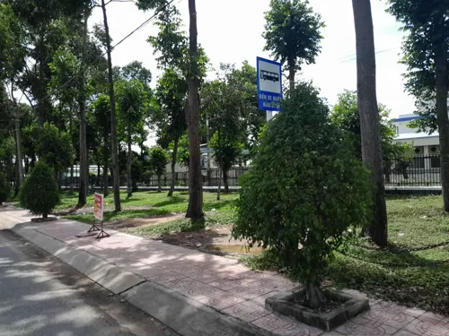

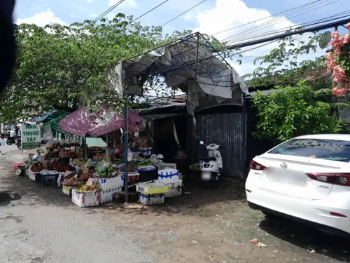



33 more on the map.
Where to stay7
Churches and places of worship16
Hội Dòng mến Thánh giá Mỹ Tho
Church · Roman Catholic · 1.3 km
382 Quốc lộ 1, Phường 4
Advertisement
Shopping11
Gas and EV charging3
Schools, colleges and libraries24
Advertisement
Healthcare22
Bệnh viện Y học cổ truyền - Phục hồi chức năng Long An
Hospital · 1.6 km
201 Nguyễn Thái Bình
Long An General Practice Hospital - Internal Medicine Faculty A1
Hospital · 0.7 km
Map of Tân An
136 places. The map loads OpenStreetMap tiles when you open it.
Getting there and nearby towns
Tan Son Nhat International Airport (SGN) is the nearest airport with scheduled flights listed in OpenStreetMap, 41 km away.
- Mỹ Tho 20 km south, about 20 min by car
- Cần Đước 21 km east, about 21 min by car
- Tân Ninh 23 km south, about 23 min by car
- Cần Giuộc 29 km east, about 29 min by car
- Bến Tre 33 km south, about 33 min by car
- Quận Sáu 35 km northeast, about 35 min by car
- Ho Chi Minh City 40 km northeast, about 40 min by car
- Thủ Đức 52 km northeast, about 52 min by car
- Trảng Bàng 55 km north, about 55 min by car
- Biên Hòa 64 km northeast, about 1 h by car
Drive times are estimates from straight-line distance, not routes.
Local news
Headlines from INDB.
Reviews, tips and questions
Loading what members have shared...
Sources and licences
- GeoNames (CC BY 4.0): population, coordinates, regions and time zone
- Mapillary (see each image): photos
- OpenStreetMap contributors (ODbL 1.0): places, airports, map data
- Wikidata (CC0 1.0): elevation, founding date, time zone, website
- Wikimedia Commons (see each image): photos
Photo credits
- Sieu thi coop mart, duong mai thi tot, Phường 2, Tân An, Long An Province, Việt Nam - panoramio, trungydang, CC BY 3.0
- Hung vuong street,Phường 3, Tân An, Long An Province, Việt Nam - panoramio, trungydang, CC BY 3.0
- Duong Hung Vuong Phường 3, Tân An, Long An Province, Việt Nam - panoramio, trungydang, CC BY 3.0
- HUng Vuong,Long An province, tp. Tân An, Việt Nam - panoramio, trungydang, CC BY 3.0
- Cau Cong duong hung Vuong,tp. Tân An, Long An, Việt Nam - panoramio, trungydang, CC BY 3.0
- Duong truong dinh,Phường 2, Tân An, Long An Province, Việt Nam - panoramio, trungydang, CC BY 3.0
- Duong Vo Van tan,Phường 2, Tân An, Long An Province, Việt Nam - panoramio, trungydang, CC BY 3.0
- San van dong tan an, duong truong dinh,Phường 2, Tân An, Long An Province, Việt Nam - panoramio, trungydang, CC BY 3.0
- Duong Hung Vuong,Phường 3, Tân An, Long An Province, Việt Nam - panoramio, trungydang, CC BY 3.0
- Nguyen dinh chieu,Long An province, tp. Tân An, Việt Nam - panoramio, trungydang, CC BY 3.0
- Nguyen dinh chieu,Long An province, tp. Tân An, Việt Nam - panoramio (1), trungydang, CC BY 3.0
- Phường 3, Tân An, Long An Province, Vietnam - panoramio, trungydang, CC BY 3.0
- Cầu Tân an-quốc lộ 1A, TP TANAN, LONG AN - panoramio, trungydang, CC BY 3.0
- Tien giang longan- quoc lo 1A, cầu tân an - panoramio, trungydang, CC BY 3.0
- Phường 7, tp. Tân An, Long An, Vietnam - panoramio, trungydang, CC BY 3.0
- Long An Stadium, AxitTDTbenzoic, CC BY-SA 4.0
- Flood Relief Beneficiary Community Members in Long An Province (7438904860), USAID Vietnam, Public domain
- Trung-tam-thanh-pho-tan-an, Tuong Lam Photos, CC BY-SA 4.0
- Thi xa Tan an-quoc lo 1A-Long an,photo by Dyt - panoramio, trungydang, CC BY 3.0
- Duong Hung vuong, phuong 3. Tp Tanan, Longan - panoramio, trungydang, CC BY 3.0
- Quoc lo 1A- Thi xa Tan an, long an,photo by Dyt - panoramio, trungydang, CC BY 3.0
- Thanh-pho-tan-an, Tuong Lam Photos, CC BY-SA 4.0
- Cau tan an,Thi xa Tan an,quoc lo 1A,Long an, photo bY Dyt - panoramio, trungydang, CC BY 3.0
- Vegetarian Pho (5541416031), Sistak, CC BY-SA 2.0
- Street-level photo, sieusaoduongdua, CC BY-SA 4.0
- Street-level photo, sieusaoduongdua, CC BY-SA 4.0
- Street-level photo, sieusaoduongdua, CC BY-SA 4.0
- Street-level photo, sieusaoduongdua, CC BY-SA 4.0
- Street-level photo, sieusaoduongdua, CC BY-SA 4.0
- Street-level photo, sieusaoduongdua, CC BY-SA 4.0
- Street-level photo, sieusaoduongdua, CC BY-SA 4.0


Page built November 8, 2026. Spotted a mistake? Tell us or suggest a place.