



Why visit Woodway
Townapedia lists 4 museums and landmarks, 16 parks and trails, 29 places to eat and 1 attraction in and around town.
Highlights include Phoenix Theatre, Andrew Carnegie Library, William E. Boeing House and Boeing Creek and Shoreview Park.
August is the warmest month, with average highs of 77°F; February lows average 37°F.
Weather in Woodway
Forecast from the National Weather Service. Full forecast
About Woodway
Woodway is a city in Snohomish County, Washington, United States. The population was 1,318 at the 2020 census.
From the Wikipedia article Woodway, Washington (this version), under CC BY-SA 4.0.
Things to do1

Museums and landmarks4

Andrew Carnegie Library
Monument and historic site · National Register of Historic Places · 2.0 mi
Library in Edmonds, Washington, United States

William E. Boeing House
Monument and historic site · National Register of Historic Places · 2.6 mi
Historical house in Shoreline, Washington, United States


Cascadia Art Museum
Museum · 1.9 mi
Art museum in Edmonds, Washington

Parks, trails and playgrounds16
Boeing Creek and Shoreview Park
Park · 2.4 mi
Park system in Shoreline, Washington

Richmond Beach Saltwater Park
Park · 1.3 mi
2021 Northwest 190th Street, Shoreline
Kruckeberg Botanic Garden
Park · 0.8 mi
Nov-Feb Fr-Su 10:00-15:00; Mar-Oct Fr-Su 10:00-17:00

4 more on the map.
Restaurants and cafes29

Pagliacci Pizza
Restaurant · Pizza · 1.0 mi
10200 Edmonds Way, Edmonds
Su-Th 11:00-23:00; Fr-Sa 11:00-00:00
Chopsticks
Restaurant · Chinese · 1.1 mi
23025 100th Avenue West, Edmonds
Mo off; Tu-Fr 11:30-22:00; Sa 12:00-22:00; Su 12:00-21:00



Five Restaurant and Bistro
Restaurant · International · 1.0 mi
650 Edmonds Way, Edmonds
17 more on the map.
History
The community was founded in 1914 by attorney turned real estate developer David Whitcomb, who acquired 320 acres (130 ha) and began developing "Woodway Park". The city includes areas north and south of the original Woodway Park which offer one third acre lots and 1-acre (4,000 m2) lots in addition to the 2-acre (8,100 m2) lots in the park where the original secluded, wooded environment remains.
Woodway was officially incorporated on February 26, 1958, in an effort to protect the heavily forested area from development and avoid annexation by Edmonds. Lot sizes were deed restricted to a minimum of 2 acres (8,100 m2) (though existing smaller lot sizes were grandfathered) and also mandated nunneries for lots larger than 10 acres (4.0 ha). as a way of grandfathering in the existing convent, Rosary Heights, mother house of the Edmonds Dominican Sisters (originally built as the estate of Boeing vice-president Philip G. Johnson). The city was named for its natural setting by a real estate developer. At that time, Woodway high school students attended the old Edmonds High school until the new Woodway High School was opened in 1970. In 1990, this school merged with Edmonds High School to create Edmonds Woodway High School.
From the History section of Woodway, Washington on Wikipedia, under CC BY-SA 4.0.
Churches and places of worship3
North American Martyrs Catholic Church
Church · Roman Catholic · 1.1 mi
9924 232nd Street Southwest, Edmonds
Edmonds Presbyterian Church
Church · Presbyterian · 1.4 mi
22600 96th Avenue West, Edmonds
Shopping4
Gas and EV charging2
Schools, colleges and libraries47
Healthcare1
Map of Woodway
107 places. The map loads OpenStreetMap tiles when you open it.
Climate by month
Monthly table
| Month | High | Low | Rain | Snow |
|---|---|---|---|---|
| Jan | 47°F | 37°F | 5.1 in | 0.9 in |
| Feb | 50°F | 37°F | 3.5 in | 1.0 in |
| Mar | 54°F | 39°F | 3.9 in | 0.0 in |
| Apr | 59°F | 43°F | 3.0 in | 0.0 in |
| May | 65°F | 48°F | 2.2 in | 0.0 in |
| Jun | 70°F | 53°F | 1.6 in | 0.0 in |
| Jul | 76°F | 56°F | 0.8 in | 0.0 in |
| Aug | 77°F | 57°F | 1.0 in | 0.0 in |
| Sep | 71°F | 53°F | 1.7 in | 0.0 in |
| Oct | 60°F | 47°F | 3.6 in | 0.0 in |
| Nov | 52°F | 41°F | 5.8 in | 0.2 in |
| Dec | 46°F | 37°F | 5.5 in | 1.7 in |
U.S. Climate Normals 1991-2020 for Seattle Sand Pt Wsfo (9 mi away), NOAA NCEI.
People and cost of living
American Community Survey 5-year estimates, 2020-2024, U.S. Census Bureau. Estimates have margins of error, larger for small towns.
Disaster history
Snohomish County has had 23 federal disaster declarations since 2000, most often for severe storms.
- 2026-04-07: Severe Storms, Straight-Line Winds, Flooding, Landslides, And Mudslides (Flood)
- 2025-12-12: Severe Storms, Straight-Line Winds, Flooding, Landslides, And Mudslides (Flood)
- 2023-01-12: Severe Winter Storm, Straight-Line Winds, Flooding, Landslides, And Mudslides (Severe Storm)
- 2022-09-10: Bolt Creek Fire (Fire)
- 2021-04-08: Severe Winter Storm, Straight-Line Winds, Flooding, Landslides, And Mudslides (Severe Storm)
- 2020-04-23: Severe Storms, Flooding, Landslides, And Mudslides (Flood)
OpenFEMA disaster declarations summaries.
Getting there and nearby towns
Kenmore Air Harbor Seaplane Base (KEH) is the nearest airport with scheduled flights listed in OpenStreetMap, 6 miles away.
- Esperance 2 mi east, about 3 min by car
- Shoreline 3 mi southeast, about 4 min by car
- Edmonds 3 mi northeast, about 4 min by car
- Mountlake Terrace 4 mi east, about 7 min by car
- Lake Forest Park 5 mi east, about 8 min by car
- Lynnwood 5 mi northeast, about 8 min by car
- Alderwood Manor 6 mi east, about 10 min by car
- Kingston 6 mi west, about 9 min by car
- Indianola 6 mi west, about 10 min by car
- Kenmore 7 mi east, about 11 min by car
Drive times are estimates from straight-line distance, not routes.
Local news
Headlines from INDB, the NEMICO news database.
Reviews, tips and questions
Loading what members have shared...
Sources and licences
- NCES EDGE (Public domain): public schools
- NOAA NCEI U.S. Climate Normals 1991-2020 (Public domain): climate by month
- OpenFEMA (Public domain): disaster declarations
- OpenStreetMap contributors (ODbL 1.0): places, airports, map data
- U.S. Census Bureau (Public domain): population, income, housing, education, commute
- Wikidata (CC0 1.0): elevation, founding date, time zone, website, landmarks and historic places
- Wikimedia Commons (see each image): photos
- Wikipedia (CC BY-SA 4.0): overview and history text
Photo credits
- Woodway Town Hall, June 2020, SounderBruce, CC BY-SA 4.0
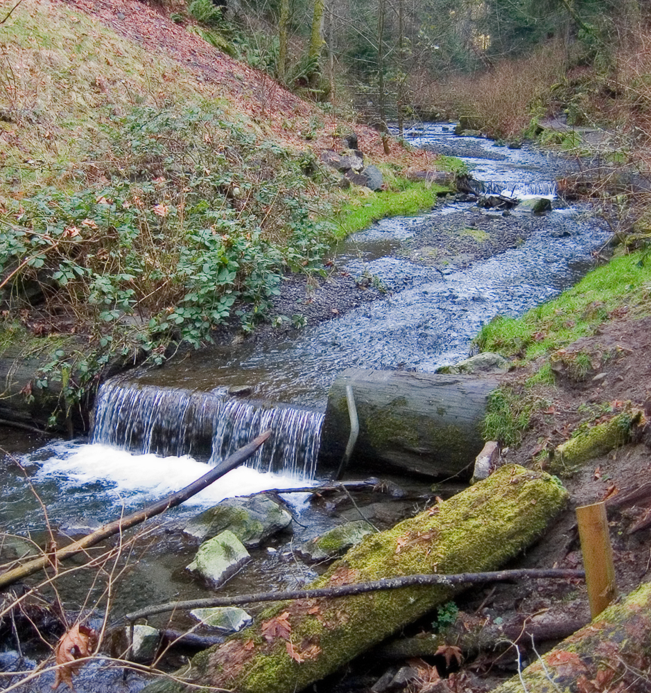
- Looking down on Deer Creek in Woodway, PinchyCC, CC BY 4.0
- Edmonds WA museum 02, Joe Mabel, CC BY-SA 3.0
- Cascadia Art Museum, Edmonds - exterior, SounderBruce, CC BY-SA 4.0
- BoeingCreek, Pfly, CC BY-SA 3.0
- Columba livia domestica - criminy - 548119060, criminy, CC BY 4.0
- Columba livia domestica - criminy - 548119064, criminy, CC BY 4.0
- Columba livia domestica - criminy - 548119077, criminy, CC BY 4.0
- There are many swordferns in Deer Creek Park, PinchyCC, CC BY 4.0
- Western swordfern in Deer Creek Park, PinchyCC, CC BY 4.0
- Brown Owl Bridge through the trees, PinchyCC, CC BY 4.0
- Looking west from Brown Owl Bridge, PinchyCC, CC BY 4.0
- Gomphidius oregonensis 12434760, Tim Sage, CC BY-SA 4.0
- Macrocystidia cucumis 12439442, Tim Sage, CC BY-SA 4.0
- Robert Lang Studios, Virtourist, CC BY-SA 3.0
- The tide did not stop for Bob - Flickr - brewbooks, brewbooks from near Seattle, USA, CC BY-SA 2.0
- Lewis's moon snail mantle - Flickr - brewbooks (1), brewbooks from near Seattle, USA, CC BY-SA 2.0
- Plane Train - Flickr - brewbooks (1), brewbooks from near Seattle, USA, CC BY-SA 2.0
- Lewis's moon snail mantle - Flickr - brewbooks, brewbooks from near Seattle, USA, CC BY-SA 2.0
- Pacific Sand Lance - Flickr - brewbooks, brewbooks from near Seattle, USA, CC BY-SA 2.0
- Lewis's moon snail mantle - Flickr - brewbooks (2), brewbooks from near Seattle, USA, CC BY-SA 2.0
- Sea Star with Commensal worm - Flickr - brewbooks, brewbooks from near Seattle, USA, CC BY-SA 2.0
- Plane Train - Flickr - brewbooks, brewbooks from near Seattle, USA, CC BY-SA 2.0
- Sunflower seastar - Flickr - brewbooks, brewbooks from near Seattle, USA, CC BY-SA 2.0
- Lewis's moon snail in sand - Flickr - brewbooks, brewbooks from near Seattle, USA, CC BY-SA 2.0
- Edmonds Memorial Cemetery, Virtourist, CC BY-SA 3.0
- Our group exploring at low tide - Flickr - brewbooks, brewbooks from near Seattle, USA, CC BY-SA 2.0
- Bob was our ID czar - Flickr - brewbooks, brewbooks from near Seattle, USA, CC BY-SA 2.0
- Tidepool Sculpin - Flickr - brewbooks, brewbooks from near Seattle, USA, CC BY-SA 2.0
- Purple Sea Star - Flickr - brewbooks, brewbooks from near Seattle, USA, CC BY-SA 2.0
- Brenda and the seaull - Flickr - brewbooks, brewbooks from near Seattle, USA, CC BY-SA 2.0
- Helmet Crab - Flickr - brewbooks, brewbooks from near Seattle, USA, CC BY-SA 2.0
- Shrimp to ID - Flickr - brewbooks, brewbooks from near Seattle, USA, CC BY-SA 2.0
- Woody Chiton - Flickr - brewbooks, brewbooks from near Seattle, USA, CC BY-SA 2.0
- Kelp Crab on Kelp - Flickr - brewbooks, brewbooks from near Seattle, USA, CC BY-SA 2.0
- Pacific Tree Frog (Pseudacris regilla) - Flickr - GregTheBusker (6), Greg Schechter from San Francisco, USA, CC BY 2.0
- Pacific Tree Frog (Pseudacris regilla) - Flickr - GregTheBusker (4), Greg Schechter from San Francisco, USA, CC BY 2.0
- Pacific Tree Frog (Pseudacris regilla) Egg Cluster - Flickr - GregTheBusker, Greg Schechter from San Francisco, USA, CC BY 2.0
- Pacific Tree Frog (Pseudacris regilla) - Flickr - GregTheBusker (5), Greg Schechter from San Francisco, USA, CC BY 2.0


Page built October 30, 2026. Spotted a mistake? Tell us or suggest a place.