


Why visit Garbsen
Townapedia lists 32 museums and landmarks, 77 parks and trails, 230 places to eat, 24 places to stay and 14 attractions in and around town.
Highlights include Glockenberg, Bioladen Neues Haus, RosebuschVerlassenschaften and Ballorig.
Weather in Garbsen
Forecast from MET Norway (CC BY 4.0). Full forecast
About Garbsen
Garbsen (German pronunciation: [ˈɡaʁpsn̩] ) is a town in the district of Hanover, in Lower Saxony, Germany. It is situated on the river Leine, approximately 11 kilometres (6.8 mi) northwest of Hanover. The name Garbsen can be traced back to 1223. Today's 13 city districts have partly developed independently until the city of Garbsen was formed within its current boundaries during the regional reform in 1974.
From the Wikipedia article Garbsen (this version), under CC BY-SA 4.0.
Photos of Garbsen


Things to do14



Bioladen Neues Haus
Farm and orchard · 5.3 km
6 Frielinger Straße
Tu,Fr 09:00-13:00,15:00-18:00; Sa 09:00-12:00
Schmidts Hofladen
Farm and orchard · 4.8 km
265 Hauptstraße, Garbsen
Th, Fr 09:00-18:00; Sa 09:00-13:00
Eierhandel Scholz
Farm and orchard · 3.6 km
26a Leinestraße, Garbsen
Mo 07:00-12:30, 15:00-18:30; Tu-Sa 07:00-12:30, 15:00-18:00

Cinestar Garbsen
Cinema and theater · 1.0 km
2 Rathausplatz
Mo-Fr 07:00-22:00; Sa,Su 09:00-18:00; PH 10:00-16:00

Hofladen Hof Beermann
Farm and orchard · 4.0 km
Th,Fr 14:30-18:00, Fr 09:00-12:30, Sa 09:00-13:00
Horster Harlekin Kleinkunstbühne
Cinema and theater · 5.0 km
16 Andreaestraße, Garbsen
2 more on the map.
Museums and landmarks32

RosebuschVerlassenschaften
Museum · 5.5 km
9 Rosenbuschweg, Hannover
Mar-Nov: Fr[1] 15:00-19:00; Mar-Nov: Sa[1] 15:00-19:00; PH off


Gut Heitlingen
Monument and historic site · 5.5 km
40 Vor den Höfen, Garbsen

Industriedenkmal Kalkbrennofen
Monument and historic site · 5.3 km
Der Kalkbrennofen: Industriedenkmal im Willy-Spahn-Park

Hanover Historical Museum
Museum · 10.2 km
Museum in Hanover, Germany

Kestnergesellschaft
Museum · 9.9 km
Art museum and art organization in Hannover, Germany


Waterloosäule
Monument and historic site · 10.3 km
Victory column in Hannover, Germany


20 more on the map.
Parks, trails and playgrounds77



Stöckener Bad
Sports field and stadium · 4.3 km
45 Hogrefestraße
Mo-Tu 06:30-09:30; We 06:30-09:30, 13:00-21:30; Th-Fr 06:30-09:30;...

Hogrefestraße/Freizeitheim
Playground · 4.2 km
Spielplatz ca. 2023 komplett neu gestaltet

65 more on the map.
Restaurants and cafes230
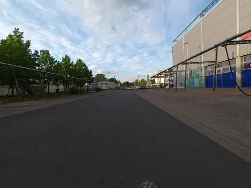
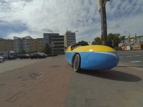
Asia Star Bistro
Restaurant · Asian · 0.8 km
76b Berenbosteler Straße, Garbsen
Tu-Su, PH 12:00-14:30, 18:00-22:00
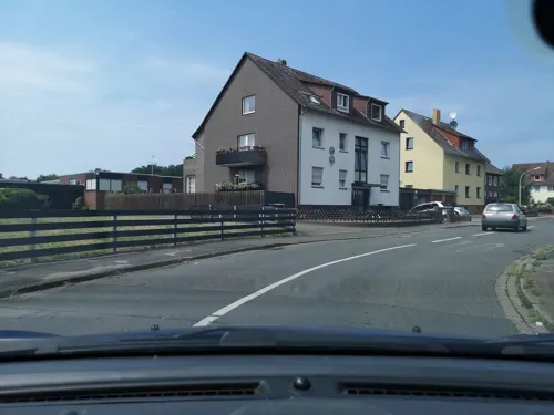
El Paso
Restaurant · Mexican · 5.1 km
2 Schlehenweg
Mo-Fr 07:00-09:30,17:00-22:00; Sa,Su,PH 08:00-11:00,17:00-22:00
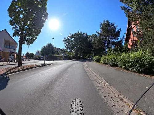
Gasthaus zur Post
Restaurant · Regional · 5.2 km
182 Hannoversche Straße, Langenhagen
"Nach Vereinbarung"
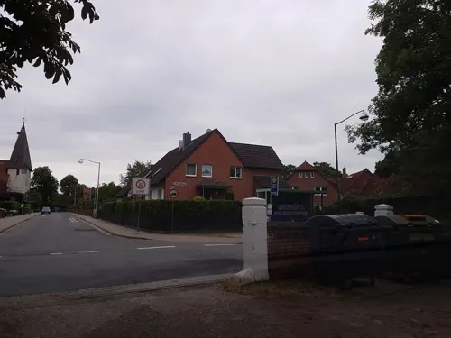
Gasthof Tegtmeyer Zum alten Krug
Restaurant · German · 4.7 km
1 Resser Straße, Langenhagen
"wird täglich neu ausgehängt"
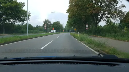
Gastwirtschaft Rust
Restaurant · German · 5.3 km
6 Alte Landstraße, Langenhagen
Su-Mo 12:00-15:00; Tu-Th 12:00-20:00; Fr-Sa 12:00-22:00
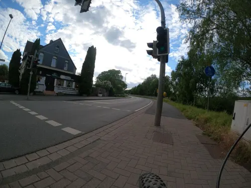

Dai Doo
Restaurant · Asian · 5.3 km
17B Kasseler Straße, Hannover
Tu-Fr 13:30-21:30; Sa,Su,PH 12:30-21:30
Felix Restaurant-Bar-Events
Restaurant · Regional · 1.0 km
2 Rathausplatz, Garbsen
Tu-Fr 12:00-15:00, Tu-Th 17:30-22:00, Fr 17:30-23:00, Sa...

218 more on the map.
More about Garbsen
Geography
Garbsen belongs to the Weser-Aller-Flachland natural area and is situated between the lowlands of the river Leine and the Otternhagener Moor. The differences in altitude are only a few metres.
The soils in the city area are predominantly sandy or boggy (Moorgeest), with the exception of the loamy-clayey soils in the area of the Leine floodplain. The sandy to gravelly deposits are fluviatile formations of the last cold period, the Weichsel cold period, e.g. in the area of Altgarbsen and Havelse, as well as elsewhere, such as Frielingen and Meyenfeld, meltwater deposits partly with overlaying ground moraine of the Saale cold period (Drenthe stage). Furthermore, fine to medium sand dunes can be found in the area of Garbsen Switzerland and Ricklingen Castle. These dunes can also be found at the "Hexenturm" in the neighbouring Hinüberschen Garten and at the Glockenberg in the monastery forest of Marienwerder.
The sand was mined in several places in (old) Garbsen in the time beginning before the First World War until 1970 and was burned to lime sand bricks in the Garbsen hard stone works (Kiebitzmoor, "Garbsen", "Niedersachsen", "Hansa" and "Hannover"). Thus Garbsen's hills disappeared, and today only street names remind us of them (among them Osterberg, Mühlenberg, Streitberg, Pottberg). Sand and gravel for construction purposes were extracted in the pit of today's Blue Lake.
From the Wikipedia article Garbsen, under CC BY-SA 4.0.
Notable people from Garbsen
- Mike-Steven BähreGerman association football player
- Carlotta TrumanGerman singer
Born in Garbsen, according to Wikidata (CC0). Each name links to its Wikipedia article.
Where to stay24
Churches and places of worship40
Klosterkirche Marienwerder
Church · Lutheran · 2.2 km
60 Quantelholz, Hannover
Baitus Sami Mosque
Place of worship · Ahmadiyya · 3.9 km
47, 49 Alter Damm, Hannover
Shopping75
Gas and EV charging26
Schools, colleges and libraries41
Campus Maschinenbau der Leibniz Universität Hannover
School · 1.2 km
Healthcare22
Map of Garbsen
250 places. The map loads OpenStreetMap tiles when you open it.
Getting there and nearby towns
Hannover Airport (HAJ) is the nearest airport with scheduled flights listed in OpenStreetMap, 7 km away.
- Marienwerder 2 km southeast, about 2 min by car
- Seelze 3 km south, about 3 min by car
- Ahlem 6 km southeast, about 6 min by car
- Burg 6 km east, about 6 min by car
- Nordstadt 9 km southeast, about 9 min by car
- Hannover 10 km southeast, about 10 min by car
- Langenhagen 9 km east, about 9 min by car
- Vahrenheide 10 km east, about 10 min by car
- Mühlenberg 10 km southeast, about 10 min by car
- Wunstorf 11 km west, about 11 min by car
Drive times are estimates from straight-line distance, not routes.
Towns near Garbsen


Keep exploring
Local news
Headlines from INDB.
Reviews, tips and questions
Loading what members have shared...
Sources and licences
- GeoNames (CC BY 4.0): population, coordinates, regions and time zone
- Mapillary (see each image): photos
- OpenStreetMap contributors (ODbL 1.0): places, airports, map data
- Wikidata (CC0 1.0): elevation, founding date, time zone, website, landmarks and historic places
- Wikimedia Commons (see each image): photos
- Wikipedia (CC BY-SA 4.0): overview and history text
Photo credits
- X RathausSuedwest2, MarcoRühmkorf, CC BY-SA 4.0
- Willehadi-Kirche Garbsen 3, Gerd Fahrenhorst, CC BY 4.0
- Willehadi-Kirche Garbsen 2, Gerd Fahrenhorst, CC BY 4.0
- Willehadi-Kirche Garbsen 1, Gerd Fahrenhorst, CC BY 4.0
- Garbsen Raphael Turm, Kirchenfan, CC0
- St. Raphael Garbsen 1, Gerd Fahrenhorst, CC BY 4.0
- St. Raphael Garbsen, Kirchturm, Gerd Fahrenhorst, CC BY 4.0
- Garbsen Raphael Grundstein, Kirchenfan, CC0
- St. Raphael Garbsen 3, Gerd Fahrenhorst, CC BY 4.0
- St. Raphael Garbsen 14, Gerd Fahrenhorst, CC BY 4.0
- St. Raphael Garbsen 5, Gerd Fahrenhorst, CC BY 4.0
- St. Raphael Garbsen 6, Gerd Fahrenhorst, CC BY 4.0
- St. Raphael Garbsen Turm und Brunnen, Gerd Fahrenhorst, CC BY 4.0
- Antareshof 3 in Garbsen, Gerd Fahrenhorst, CC BY 4.0
- St. Raphael Brunnen Garbsen, Gerd Fahrenhorst, CC BY 4.0
- Wasserbüffel Garbsen 2, Gerd Fahrenhorst, CC BY 4.0
- Wasserbüffel Garbsen 3, Gerd Fahrenhorst, CC BY 4.0
- Wasserbüffel Garbsen 1, Gerd Fahrenhorst, CC BY 4.0
- Steh im Weg, Garbsen, Gerd Fahrenhorst, CC BY 4.0
- Steh im Weg (Ewald Brandt, Garbsen) 1, Gerd Fahrenhorst, CC BY 4.0
- Steh im Weg (Ewald Brandt, Garbsen) 2, Gerd Fahrenhorst, CC BY 4.0
- Steh im Weg (Ewald Brandt, Garbsen) 3, Gerd Fahrenhorst, CC BY 4.0
- Skulptur Saturn in Garbsen, Gerd Fahrenhorst, CC BY 4.0
- Am hohen Ufer (01), Hombre, CC BY-SA 3.0
- Kestner Gesellschaft, Axel Hindemith, Public domain
- Waterloosäule 2009, Axel Hindemith, Public domain
- Hannover Deutsches Museum für Karikatur und Zeichenkunst - Wilhelm Busch 2006 by-RaBoe, Ra Boe, CC BY-SA 2.5
- Aerial image of Großer Garten (view from the south), Carsten Steger, CC BY-SA 4.0
- Hannover Welfenschloss (um 1895), Unknown author Unknown author, Public domain
- Bait us-Sami, Benutzer:AxelHH, Public domain
- Brandmoorwiesen 02, Den man tau, CC BY-SA 4.0
- 1168 - Hannover - Marienwerder - Am Hinüberschen Garten- 20050420, Ingo Rickmann Ricki, CC BY-SA 2.5
- Ellipsen am Kepler-Gymnasium Garbsen 1, Gerd Fahrenhorst, CC BY 4.0
- Kirche Altgarbsen, Jens Bludau, CC BY-SA 3.0
- Marienwerder Kloster vorne, Benutzer:AxelHH, Public domain
- Barbarakirche von 1882 in Harenberg (Seelze) IMG 7271, losch, CC BY-SA 3.0
- Seelze Kath. Pfarrzentrum Hl Dreifaltigkeit, IMGP1350_-Seelze_-_Südstraße_-_20050424.JPG : Ingo Rickmann derivative work: Rabanus Flavus ( talk ), CC BY-SA 3.0
- Heitlingen - Rittergut, Den man tau, CC BY-SA 3.0
- Seelze - Sankt Martin, Den man tau, CC BY-SA 3.0
- 1182 - Garbsen - Osterwald O.E.- Kirche - 20050420, Ingo Rickmann Ricki, CC BY-SA 2.5
- St. Adalbert in Hannover Foto 0531, Gerd Fahrenhorst, CC BY-SA 4.0
- Eingang Kinderwald Hannover, Nortix08, CC BY-SA 4.0
- Rosebuschverlassenschaften Halle Kanal, Axel Hindemith, CC BY-SA 3.0
- Lime Oven Willy Spahn Park Hanover Germany 01, ChristianSchd, CC BY-SA 3.0
- Hannover -KZ-Außenlager Ahlem- 2015 by-RaBoe 003, © Ra Boe / Wikipedia, CC BY-SA 3.0 de
- Obentraut Denkmal, AxelHH at German Wikipedia, Public domain
- St.Martinskirche Engelbostel rIMG 4047, Losch at German Wikipedia, Attribution
- Ahlemer Turm Hanover Germany, ChristianSchd, CC BY-SA 3.0
- 2015-08-15 Wald- und Stadtteilfriedhof Ahlem, Hannover, 1, Bernd Schwabe, CC BY-SA 4.0
- IMGP1511 - Hannover - Marienwerder - Glockenberg - 20050428, Ricki (Ingo Rickmann), CC BY-SA 3.0
- 5652 Willehadi-Kirche 2016 5, Gerd Fahrenhorst, CC BY 4.0
- Hexenturm im Hinüberschen Garten in Marienwerder (Hannover) IMG 4389, Losch, CC BY-SA 4.0
- Ballorig Seelze-Letter, Gerd Fahrenhorst, CC BY 4.0
- Street-level photo, cageythree, CC BY-SA 4.0
- Street-level photo, Langfahrer, CC BY-SA 4.0
- Street-level photo, Langfahrer, CC BY-SA 4.0
- Street-level photo, Langfahrer, CC BY-SA 4.0
- Street-level photo, peewee32, CC BY-SA 4.0
- Street-level photo, Langfahrer, CC BY-SA 4.0
- Street-level photo, Langfahrer, CC BY-SA 4.0
- Street-level photo, Langfahrer, CC BY-SA 4.0
- Street-level photo, Hightower-, CC BY-SA 4.0
- Street-level photo, Langfahrer, CC BY-SA 4.0
- Street-level photo, Langfahrer, CC BY-SA 4.0
- Street-level photo, Langfahrer, CC BY-SA 4.0
- Street-level photo, Langfahrer, CC BY-SA 4.0
- Street-level photo, Hightower-, CC BY-SA 4.0
- Street-level photo, Langfahrer, CC BY-SA 4.0
- Street-level photo, Hightower-, CC BY-SA 4.0
- Street-level photo, sp8962de, CC BY-SA 4.0
- Street-level photo, cageythree, CC BY-SA 4.0
- Street-level photo, Langfahrer, CC BY-SA 4.0
- Street-level photo, hotteliene, CC BY-SA 4.0
- Street-level photo, Langfahrer, CC BY-SA 4.0
- Street-level photo, Langfahrer, CC BY-SA 4.0
- Street-level photo, Langfahrer, CC BY-SA 4.0
- Street-level photo, Langfahrer, CC BY-SA 4.0
- Street-level photo, Langfahrer, CC BY-SA 4.0
- Street-level photo, xanu, CC BY-SA 4.0
- Street-level photo, cageythree, CC BY-SA 4.0


Page built November 9, 2026. Spotted a mistake? Tell us or suggest a place.