


Why visit Pritzwalk
Townapedia lists 14 museums and landmarks, 4 parks and trails, 28 places to eat, 7 places to stay and 12 attractions in and around town.
Highlights include Blumenthal Observation Tower, Bismarckturm Pritzwalk, Museumsfabrik Pritzwalk and Heidelbeer - Plantage.
Weather in Pritzwalk
Forecast from MET Norway (CC BY 4.0). Full forecast
About Pritzwalk
Pritzwalk (German pronunciation: [ˈpʁɪtsˌvalk] ) is a town in the district of Prignitz, in Brandenburg, Germany. It is situated 20 km west of Wittstock, and 33 km northeast of Wittenberge. The river Dömnitz flows through Pritzwalk.
From the Wikipedia article Pritzwalk (this version), under CC BY-SA 4.0.
Things to do12

Blumenthal Observation Tower
Monument and historic site · 13.3 km
Observation tower in Brandenburg





Museums and landmarks14

Museumsfabrik Pritzwalk
Museum
3a Meyenburger Tor, Pritzwalk
Tu-Fr 10:00-17:00; PH,Sa,Su 14:00-17:00; Dec 24-25,Dec 31 off; Jan 01 off



ehem. Wasserstation
Monument and historic site · 0.6 km
Lokschuppen mit Wasserstation der Ostpriegnitzer Kreiskleinbahn auf dem Gelände des Bahnhofes Pritzwalk
Gutshaus Groß Pankow
Monument and historic site · 9.1 km
15 Pankeweg, Groß Pankow (Prignitz)

2 more on the map.
Parks, trails and playgrounds4


Restaurants and cafes28
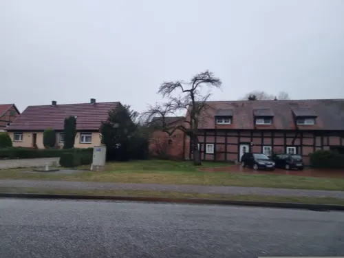
Landhotel & Brauhaus Prignitzer Hof
Restaurant · German, Regional · 3.3 km
4 Hauptstraße Buchholz, Pritzwalk
Mo-Th 16:00-22:00; Fr-Sa 11:30-22:00; Su off
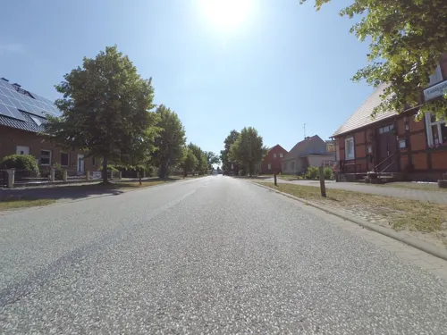
Landgasthaus Liebner
Restaurant · 8.8 km
24 Steindamm, Groß Pankow (Prignitz)
Tu-Fr 11:00-13:00,17:00-22:00, Sa-Su 11:00-13:00,17:00-23:00
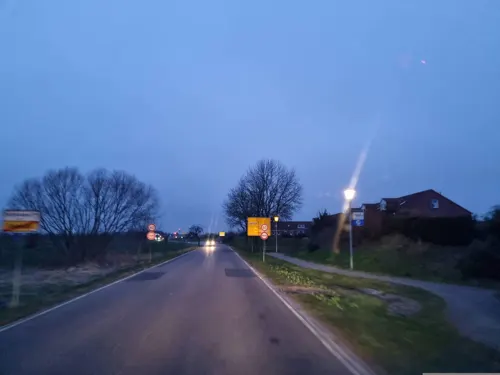
Prignitzbrot
Bakery · 1.0 km
Brotwerkstatt. Sauerteigbrote. Brezeln. Blechkuchen. Vorbestellungen per Mail.
23c Schlachthausstraße, Pritzwalk
We-Fr 14:00-17:00

Zur alten Mälzerei - Pritzwalk
Restaurant
Tu-Fr 11:00-14:30,18:00-23:00; Sa 11:00-23:00; Su 11:00-15:00

Café Ma Gutshaus
Cafe · Cake · 9.2 km
4e Pankeweg, Groß Pankow (Prignitz)
Mo,Tu,Th 08:00-14:00; We 08:00-17:00; Su 14:00-17:00
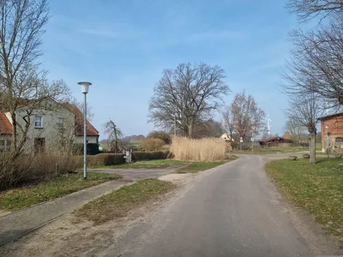


Erntemanufaktur Café
Cafe
35-36 Marktstraße, Pritzwalk
We-Fr 11:00-17:00; Sa-Su 14:00-17:00
Hotel und Restaurant Falkenhagen
Restaurant · German · 7.6 km
2 Rapshagener Straße, Pritzwalk
16 more on the map.
History
Pritzwalk obtained municipal status in 1256. From 1815 to 1945, Pritzwalk was part of the Prussian Province of Brandenburg. Nearly all the buildings in the town centre were destroyed by a fire in 1821. The Town Hall was built in a classicist style 1829. On 15 March 1945 many houses around the railway station were destroyed by a heavy explosion during an air raid when a munition train exploded after it had been hit by bombs. From 1952 to 1990, Pritzwalk was part of the Bezirk Potsdam of East Germany. In the fifties many new residential buildings were erected.
From the History section of Pritzwalk on Wikipedia, under CC BY-SA 4.0.
Where to stay7
Churches and places of worship25
Dorfkirche Beveringen
Church · Protestant · 3.0 km
11 Dorfstraße Beveringen, Pritzwalk
Dorfkirche Falkenhagen
Church · Protestant · 6.7 km
50 Hauptstraße Falkenhagen, Pritzwalk
Dorfkirche Kuhbier
Church · Protestant · 5.4 km
34 Kuhbierer Dorfstraße, Groß Pankow (Prignitz)
Dorfkirche Kuhsdorf
Church · Protestant · 5.6 km
44 Kuhsdorf, Groß Pankow (Prignitz)
Dorfkirche Langnow
Church · Protestant · 9.3 km
23 Langnower Straße, Groß Pankow (Prignitz)
Dorfkirche Mertensdorf
Church · Protestant · 10.0 km
17 Anger, Triglitz
Kirche Sadenbeck
Church · Protestant · 7.4 km
55 Dorfstraße Sadenbeck, Pritzwalk
Shopping10
Gas and EV charging6
Schools, colleges and libraries5
Healthcare6
Map of Pritzwalk
117 places. The map loads OpenStreetMap tiles when you open it.
Getting there and nearby towns
Müritz Airpark (REB) is the nearest airport with scheduled flights listed in OpenStreetMap, 42 km away.
- Triglitz 8 km northwest, about 8 min by car
- Groß Pankow 9 km west, about 9 min by car
- Gerdshagen 11 km north, about 11 min by car
- Heiligengrabe 13 km east, about 13 min by car
- Putlitz 14 km northwest, about 14 min by car
- Wittstock 21 km east, about 21 min by car
- Wittenberge 33 km southwest, about 33 min by car
- Rathenow 61 km south, about 1 h by car
- Zehdenick 80 km east, about 1 h 15 min by car
- Velten 85 km southeast, about 1 h 30 min by car
Drive times are estimates from straight-line distance, not routes.
Local news
Headlines from INDB.
Reviews, tips and questions
Loading what members have shared...
Sources and licences
- GeoNames (CC BY 4.0): population, coordinates, regions and time zone
- Mapillary (see each image): photos
- OpenStreetMap contributors (ODbL 1.0): places, airports, map data
- Wikidata (CC0 1.0): elevation, founding date, time zone, website, landmarks and historic places
- Wikimedia Commons (see each image): photos
- Wikipedia (CC BY-SA 4.0): overview and history text
Photo credits
- Pritzwalk town hall, Doris Antony , Berlin, CC BY-SA 3.0
- 2010-03-25 Pritzwalk P1110118, JanRehschuh, CC BY-SA 3.0
- Marktstraße 3 Pritzwalk, Clemensfranz, CC BY-SA 3.0
- Marktstraße 4 Pritzwalk, Clemensfranz, CC BY-SA 3.0
- Marktstraße 5 Pritzwalk, Clemensfranz, CC BY-SA 3.0
- Pritzwalk, the Nikolai Church, Dguendel, CC BY 3.0
- Marktstraße 6 Pritzwalk, Clemensfranz, CC BY-SA 3.0
- Marktstraße 7 Pritzwalk, Clemensfranz, CC BY-SA 3.0
- Marktstraße 8 Pritzwalk, Clemensfranz, CC BY-SA 3.0
- Kirchstraße 1 Pritzwalk, Clemensfranz, CC BY-SA 3.0
- Pritzwalk, the town hall, Dguendel, CC BY 3.0
- Sparkasse Prignitz in Pritzwalk, Gerd Fahrenhorst, CC BY 4.0
- Findlingsbrunnen in Pritzwalk, Gerd Fahrenhorst, CC BY 4.0
- Marktstraße 38 Pritzwalk, Clemensfranz, CC BY-SA 3.0
- Pritzwalk, the Marktstraße, Dguendel, CC BY 3.0
- Marktstraße 33 Pritzwalk, Clemensfranz, CC BY-SA 3.0
- Nikolaikirche Pritzwalk 2017 NW, Hans G. Oberlack, CC BY-SA 4.0
- Pritzwalk ehem. Krankenhaus Perleberger Straße, Oberlausitzerin64, CC BY-SA 4.0
- Marktstraße 23 Pritzwalk, Clemensfranz, CC BY-SA 3.0
- Marktstraße 24 Pritzwalk, Clemensfranz, CC BY-SA 3.0
- Pritzwalk, Einheitsbäume, Kiefer 2024, Sommer, 01, Cormelia Wriedt, CC BY-SA 4.0
- Pritzwalk, Einheitsbäume, Schild, 01, Cormelia Wriedt, CC BY-SA 4.0
- Pritzwalk, Einheitsbäume, Eiche 2024, Sommer, 01, Cormelia Wriedt, CC BY-SA 4.0
- Pritzwalk, Einheitsbäume 2024, Sommer, 02, Cormelia Wriedt, CC BY-SA 4.0
- Pritzwalk, Einheitsbäume, Eiche 2024, Sommer, 02, Cormelia Wriedt, CC BY-SA 4.0
- Pritzwalk, Einheitsbäume, Kiefer 2024, Sommer, 02, Cormelia Wriedt, CC BY-SA 4.0
- Pritzwalk, Einheitsbäume 2024, Sommer, 01, Cormelia Wriedt, CC BY-SA 4.0
- St.Anna-Kirche Pritzwalk 2022 Interior N, Hans G. Oberlack, CC BY-SA 4.0
- St.Anna-Kirche Pritzwalk 2022 Portal, Hans G. Oberlack, CC BY-SA 4.0
- Aussichtsturm Blumenthal März 2015, Assenmacher, CC BY-SA 4.0
- Bismarckturm in Pritzwalk, Der Prignitzer, CC BY-SA 3.0 de
- Dorfkirche Sarnow (Prignitz) 2020 SW, Hans G. Oberlack, CC BY-SA 4.0
- Freilichtbühne - panoramio, Wernfriedz, CC BY-SA 3.0
- Kuhbier Dorfkirche 2, RLA-Berlin, CC BY-SA 3.0
- D-16949 Triglitz Mertensdorf Dorfkirche, Südostseite, RLA-Berlin, CC BY-SA 3.0
- Dorfkirche Beveringen 2017 N, Hans G. Oberlack, CC BY-SA 4.0
- Dorfkirche Sadenbeck 2017 NE, Hans G. Oberlack, CC BY-SA 4.0
- Falkenhagen (Pritzwalk) church 2017 NE, Hans G. Oberlack, CC BY-SA 4.0
- Langnow church, Doris Antony , Berlin, CC BY-SA 3.0
- Kirche in Mesendorf, Prignitz (2007-10-19), de:Benutzer:Klugschnacker, CC BY-SA 3.0
- KuhsdorfKircheNO, Global Fish, CC BY-SA 4.0
- St.Anna-Kirche Pritzwalk 2017 SE, Hans G. Oberlack, CC BY-SA 4.0
- Dorfkirche Triglitz Südseite, Engeser, CC BY-SA 3.0
- Pritzwalk Stadt- und Brauereimuseum, Kvikk, CC BY-SA 4.0
- Pritzwalk Bahnhof Wasserturm, Oberlausitzerin64, CC BY-SA 4.0
- Pritzwalk Mausoleum Quandt, Oberlausitzerin64, CC BY-SA 4.0
- Street-level photo, dsmm, CC BY-SA 4.0
- Street-level photo, mar_k83, CC BY-SA 4.0
- Street-level photo, dsmm, CC BY-SA 4.0
- Street-level photo, peewee32, CC BY-SA 4.0
- Street-level photo, dsmm, CC BY-SA 4.0
- Street-level photo, dsmm, CC BY-SA 4.0
- Street-level photo, rjrrjr3, CC BY-SA 4.0
- Street-level photo, dsmm, CC BY-SA 4.0
- Street-level photo, dsmm, CC BY-SA 4.0
- Street-level photo, bastinb, CC BY-SA 4.0
- Street-level photo, dsmm, CC BY-SA 4.0
- Street-level photo, danko, CC BY-SA 4.0
- Street-level photo, dsmm, CC BY-SA 4.0
- Street-level photo, dsmm, CC BY-SA 4.0
- Street-level photo, dsmm, CC BY-SA 4.0
- Street-level photo, dsmm, CC BY-SA 4.0
- Street-level photo, dsmm, CC BY-SA 4.0
- Street-level photo, dinomarcel, CC BY-SA 4.0
- Street-level photo, dsmm, CC BY-SA 4.0
- Street-level photo, dsmm, CC BY-SA 4.0
- Street-level photo, dinomarcel, CC BY-SA 4.0


Page built November 8, 2026. Spotted a mistake? Tell us or suggest a place.