


Why visit Velten
Townapedia lists 18 museums and landmarks, 17 parks and trails, 43 places to eat, 8 places to stay and 4 attractions in and around town.
Highlights include Mathiasberg, Zehnruthenberg, Ofen- und Keramikmuseum and Begegnungsstätte "Alte Remonteschule".
Weather in Velten
Forecast from MET Norway (CC BY 4.0). Full forecast
About Velten
Velten (German pronunciation: [ˈfɛltn̩] ) is a town in the Oberhavel district of Brandenburg, Germany. It is situated 10 km southwest of Oranienburg, and 24 km northwest of Berlin.
From the Wikipedia article Velten (this version), under CC BY-SA 4.0.
Things to do4


Museums and landmarks18


Begegnungsstätte "Alte Remonteschule"
Monument and historic site · 3.8 km
15 Alte Dorfstraße, Oberkrämer
"nach Vereinbarung"

Gedenkkreuz „André – 12.01.2011“
Monument and historic site · 2.8 km
Privates Erinnerungskreuz am Berliner Nordring (A 111)

Osthavelländische Kreisbahn Nauen-Velten
Monument and historic site · 1.7 km
Abgebaute Bahngleise bitte nicht löschen, sondern als abandoned bzw. razed taggen.
Villa Wassili Luckhardt von 1932
Monument and historic site · 3.9 km
65 Friedhofstraße, Oberkrämer

Wasserturm
Monument and historic site · 0.9 km
Wasserturm der Triebwagenhalle in Velten
6 more on the map.
Parks, trails and playgrounds17

Veltinchen
Playground · 3.3 km
11 Parkallee, Velten
We-Fr 14:00-19:00; Sa,Su,PH 10:00-19:00; SH Mo-Su 10:00-19:00; Mo,Tu off




5 more on the map.
Restaurants and cafes43

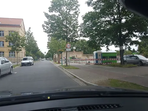
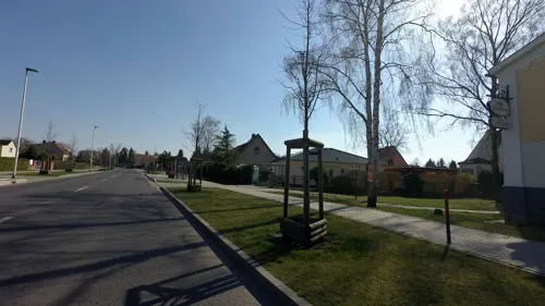
Feldschlösschen Weimann
Restaurant · International · 1.8 km
49 Bergstraße, Velten
We-Fr 17:00-21:30; Sa,Su 11:30-21:00
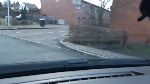
Gasthof zum Dorfkrug
Restaurant · Regional · 3.9 km
2 Remontehof, Oberkrämer
Mo-Fr 17:00-22:00; Sa-Su 12:00-22:00
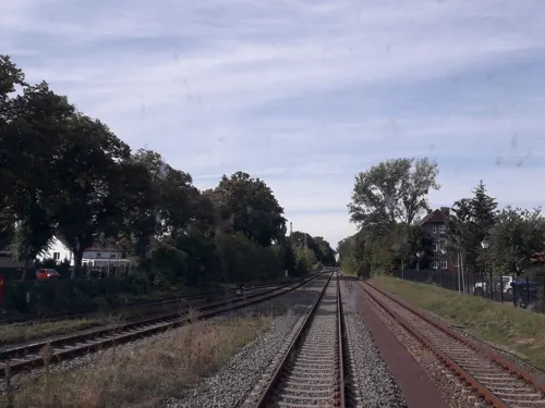
Bäckerei & Konditorei Plentz
Cafe · Coffee Shop, Sandwich
7 Bahnstraße
Mo-Fr 05:00-18:30; Sa 06:00-17:00; Su off
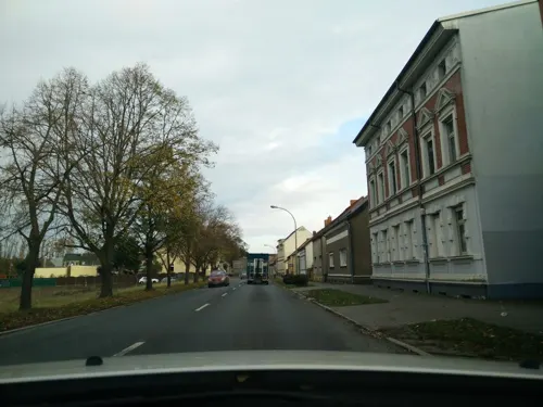
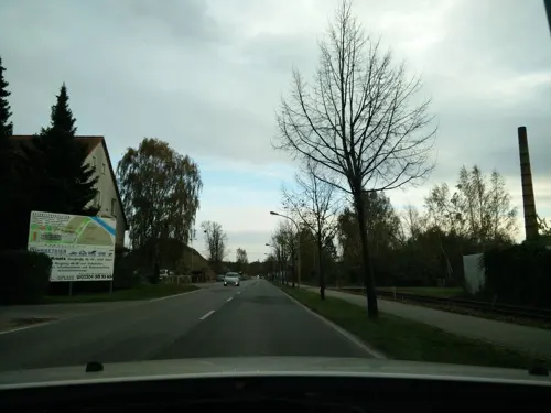

Steinecke
Bakery · 4.4 km
2 Rigaer Straße, Hennigsdorf
Mo-Fr 06:30-19:00; Sa 06:30-18:00; Su 07:00-10:30
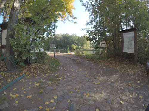


Golden Reis
Restaurant · Asian, Thai, Sushi · 4.0 km
8A Eichenallee, Leegebruch
Tu-Sa 11:00 - 21:00; Su 12:00 - 21:00

31 more on the map.
History
In 1905 Velten had 38 stove factories that delivered 100,000 tiled stoves to Berlin, making Velten Germany's biggest stove manufacturer.
From the History section of Velten on Wikipedia, under CC BY-SA 4.0.
Where to stay8
Churches and places of worship9
Kirche Leegebruch
Church · Lutheran · 3.9 km
1g Straße der Jungen Pioniere, Leegebruch
Shopping17
Gas and EV charging6
Schools, colleges and libraries9
Grundschule „Johann Heinrich Pestalozzi“
School · 3.7 km
12a Weidensteg, Leegebruch
Healthcare7
Map of Velten
138 places. The map loads OpenStreetMap tiles when you open it.
Getting there and nearby towns
Berlin Brandenburg Airport "Willy Brandt" (BER) is the nearest airport with scheduled flights listed in OpenStreetMap, 42 km away.
- Leegebruch 4 km north, about 4 min by car
- Hennigsdorf 6 km south, about 6 min by car
- Hohen Neuendorf 7 km east, about 7 min by car
- Birkenwerder 7 km east, about 7 min by car
- Wandlitz 20 km east, about 20 min by car
- Berlin 24 km southeast, about 24 min by car
- Potsdam 33 km south, about 33 min by car
- Zehdenick 34 km north, about 34 min by car
- Zeuthen 48 km southeast, about 48 min by car
- Zossen 56 km south, about 56 min by car
Drive times are estimates from straight-line distance, not routes.
Local news
Headlines from INDB.
Reviews, tips and questions
Loading what members have shared...
Sources and licences
- GeoNames (CC BY 4.0): population, coordinates, regions and time zone
- Mapillary (see each image): photos
- OpenStreetMap contributors (ODbL 1.0): places, airports, map data
- Wikidata (CC0 1.0): elevation, founding date, time zone, website
- Wikimedia Commons (see each image): photos
- Wikipedia (CC BY-SA 4.0): overview and history text
Photo credits
- Velten Wasserturm, Oberlausitzerin64, CC BY-SA 4.0
- Stolperstein Breite Str 74 (Velten) Margarethe Lehmann, OTFW , Berlin, CC BY-SA 3.0
- Stolperstein Breite Str 74 (Velten) Alfred Lehmann, OTFW , Berlin, CC BY-SA 3.0
- Stolperstein Breite Str 74 (Velten) Lili Lehmann, OTFW , Berlin, CC BY-SA 3.0
- Stolperstein Breite Str 74 (Velten) Herbert Lehmann, OTFW , Berlin, CC BY-SA 3.0
- Poststraße 1 Velten, Judith Richmann, CC BY-SA 4.0
- Clp 20150707 5064 Bf Velten (Mark) EG, Christian Liebscher, CC BY-SA 4.0
- Clp 20150707 5071 Bf Velten (Mark) Bstg 3, Christian Liebscher, CC BY-SA 4.0
- Clp 20150707 5073 Bf Velten (Mark) Asig 50N2, Christian Liebscher, CC BY-SA 4.0
- Stolperstein Wilhelmstr 13 (Velten) Erna Gersinski, OTFW , Berlin, CC BY-SA 3.0
- Stolperstein Wilhelmstr 13 (Velten) Gustav Gersinski, OTFW , Berlin, CC BY-SA 3.0
- Clp 20150707 5068 Bf Velten (Mark) EG, Christian Liebscher, CC BY-SA 4.0
- Clp 20150707 5067 Bf Velten (Mark) Stw Vlt, Christian Liebscher, CC BY-SA 4.0
- Clp 20150707 5066 Bf Velten (Mark) Bstg und Stw Vlt, Christian Liebscher, CC BY-SA 4.0
- Clp 20150707 5059 Prignitz-Express Velten (Mark), Christian Liebscher, CC BY-SA 4.0
- Clp 20150707 5061 Prignitz-Express Velten (Mark), Christian Liebscher, CC BY-SA 4.0
- Clp 20150707 5063 Bf Velten (Mark) Bstg 4, Christian Liebscher, CC BY-SA 4.0
- Clp 20150707 5062 Bf Velten (Mark) Bstg, Christian Liebscher, CC BY-SA 4.0
- Velten - Bahnstraße - P+R ELS, Werner Buzan, CC BY-SA 4.0
- Velten - Bahnstraße - P+R ELS f, Werner Buzan, CC BY-SA 4.0
- Stolperstein Wilhelmstr 19 (Velten) Richard Ungermann, OTFW , Berlin, CC BY-SA 3.0
- Velten kunst, Covânt, CC BY-SA 3.0
- Leegebruch, RonnyKrüger, CC0
- Linden Grundschule in Velten, Max-78, CC BY-SA 3.0
- Velten church 2016 S, Hans G. Oberlack, CC BY-SA 4.0
- Realschule Velten, Max-78, CC BY-SA 3.0
- Dorfkirche Bärenklau, Vedamur, CC BY-SA 3.0
- Dorfkirche Marwitz Südostansicht, Assenmacher, CC BY-SA 4.0
- Ofen- und Keramikmuseum Velten, Max-78, CC BY-SA 3.0
- Velten church, Doris Antony , Berlin, CC BY-SA 4.0
- Mittelstr 13, Michael Richmann, CC BY-SA 4.0
- Am Anger 10, Michael Richmann, CC BY-SA 4.0
- BahnPoststr, Michael Richmann, CC BY-SA 4.0
- Baracken Ikaria, Uwca, CC BY-SA 4.0
- Kremmerner 25, Michael Richmann, CC BY-SA 4.0
- Street-level photo, atpl_pilot, CC BY-SA 4.0
- Street-level photo, moenk, CC BY-SA 4.0
- Street-level photo, reneklatt, CC BY-SA 4.0
- Street-level photo, kartonage, CC BY-SA 4.0
- Street-level photo, mar_k83, CC BY-SA 4.0
- Street-level photo, mar_k83, CC BY-SA 4.0
- Street-level photo, dsmm, CC BY-SA 4.0
- Street-level photo, mar_k83, CC BY-SA 4.0
- Street-level photo, dsmm, CC BY-SA 4.0
- Street-level photo, mar_k83, CC BY-SA 4.0
- Street-level photo, mar_k83, CC BY-SA 4.0
- Street-level photo, jacobbraeutigam, CC BY-SA 4.0
- Street-level photo, bufonto, CC BY-SA 4.0
- Street-level photo, tb4711, CC BY-SA 4.0
- Street-level photo, dsmm, CC BY-SA 4.0
- Street-level photo, atpl_pilot, CC BY-SA 4.0
- Street-level photo, dsmm, CC BY-SA 4.0
- Street-level photo, kartonage, CC BY-SA 4.0
- Street-level photo, kartonage, CC BY-SA 4.0
- Street-level photo, mar_k83, CC BY-SA 4.0
- Street-level photo, mar_k83, CC BY-SA 4.0
- Street-level photo, dsmm, CC BY-SA 4.0
- Street-level photo, dsmm, CC BY-SA 4.0
- Street-level photo, dsmm, CC BY-SA 4.0
- Street-level photo, bufonto, CC BY-SA 4.0


Page built November 8, 2026. Spotted a mistake? Tell us or suggest a place.