


Why visit Stelle
Townapedia lists 12 museums and landmarks, 14 parks and trails, 50 places to eat, 7 places to stay and 9 attractions in and around town.
Highlights include Buchholz‘ Biohof, Hof Benecke, Stemmbruch and Untere Seeveniederung und Over Plack.
Weather in Stelle
Forecast from MET Norway (CC BY 4.0). Full forecast
About Stelle
Stelle (German pronunciation: [ˈʃtɛlə] ; Low German: Stell) is a municipality in the district of Harburg, in Lower Saxony, Germany. It is situated approximately 20 km southeast of Hamburg, and 7 km west of Winsen (Luhe). It is twinned with the village of Glenfield in Leicestershire, England and with the village of Plouzané (Brittany, France).
From the Wikipedia article Stelle, Germany (this version), under CC BY-SA 4.0.
Things to do9
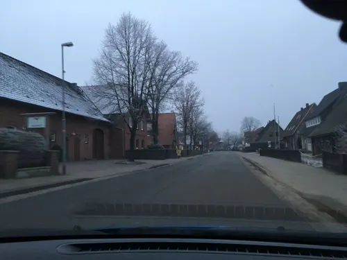
Buchholz‘ Biohof
Farm and orchard · 2.9 km
10 Bahnhofstraße, Stelle
Mo,Th,Fr 08:30-12:30,16:00-18:30; Tu,Sa 08:30-12:30, We off

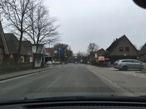
Hof Wurzelreich
Farm and orchard · 2.8 km
11 Bahnhofstraße, Stelle
Tu-We 08:30-12:30,14:00-18:00, Tu 08:30-12:30,14:00-19:00,Fr...

Erdbeer und Spargel Verkaufsstand
Farm and orchard · 4.6 km
Saisonal werden hier Erdbeeren bzw. Spargel verkauft
Naturschutzgebiet Untere Seeveniederung;Vogelbeobachtungsturm
Scenic view · 3.7 km
Museums and landmarks12


Fischereibegrenzungsstein B230C, Kulturdenkmal
Monument and historic site · 4.2 km
Parks, trails and playgrounds14







2 more on the map.
Restaurants and cafes50

Grubes Fischerhütte
Restaurant · Seafood · 4.1 km
32 Hoopter Elbdeich, Winsen (Luhe)
Th-Su 11:30-14:00,17:00-20:00
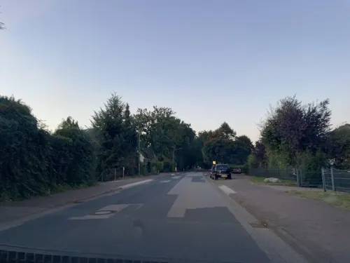
Món Việt
Restaurant · Thai · 5.1 km
116 Horster Landstraße, Seevetal
Tu-Fr 17:00-22:30; Sa-Su 12:00-23:00

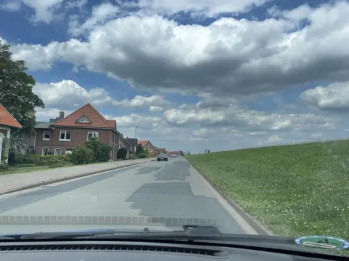
Löschers Hofcafé
Cafe · 3.6 km
77 Hoopter Elbdeich, Winsen (Luhe)
Apr-Jun: Mo,Tu 11:30-21:00; We,Th 09:00-21:00; Fr-Su 11:30-21:00;...

1001 Elbideen
Cafe · 4.4 km
Möbel, Lebensmittel, Kaffee und Kuchen. Angenehme Preise. Man kann im Laden oder davor im Freien sitzen.
We-Sa 10:00-18:00; Su 13:00-18:00
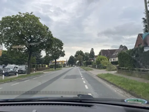
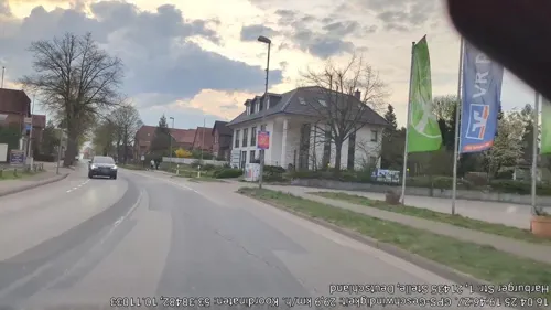
Bambus Lounge
Restaurant · Asian · 0.8 km
43 Harburger Straße, Stelle
Mo,We-Fr 12:00-15:00,17:00-22:00, Sa,Su,PH 13:00-22:00
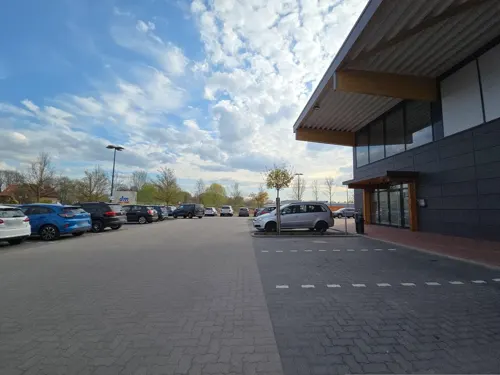
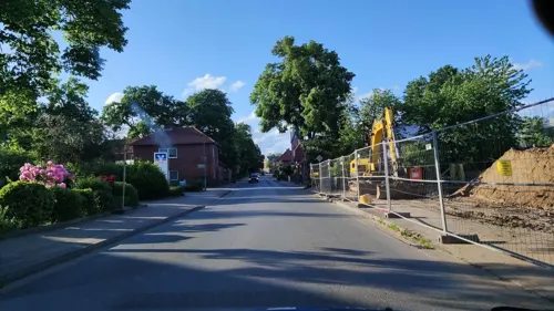


Gran Sasso
Restaurant · Italian
12A Unter den Linden, Stelle
Mo-Sa 17:00-22:00
Zum Dorfkrug
Restaurant · Regional
8 Bei der Kirche, Stelle
Tu-Sa 11:00-14:00, 17:00+; Su 10:00+
38 more on the map.
Where to stay7
Churches and places of worship7
Ev.-luth. Friedenskirche
Church · Lutheran · 4.8 km
15 Horster Landstraße, Seevetal
Shopping15
Gas and EV charging17
Schools, colleges and libraries10
Healthcare6
Map of Stelle
147 places. The map loads OpenStreetMap tiles when you open it.
Getting there and nearby towns
Hamburg Finkenwerder Airport (XFW) is the nearest airport with scheduled flights listed in OpenStreetMap, 25 km away.
- Winsen 7 km southeast, about 7 min by car
- Seevetal 10 km west, about 10 min by car
- Wulfsen 9 km south, about 9 min by car
- Harmstorf 9 km southwest, about 9 min by car
- Brackel 10 km southwest, about 10 min by car
- Drage 11 km east, about 11 min by car
- Marxen 11 km southwest, about 11 min by car
- Hamburg 20 km northwest, about 20 min by car
- Visselhövede 57 km southwest, about 57 min by car
- Lübeck 66 km northeast, about 1 h by car
Drive times are estimates from straight-line distance, not routes.
Local news
Headlines from INDB.
Reviews, tips and questions
Loading what members have shared...
Sources and licences
- GeoNames (CC BY 4.0): population, coordinates, regions and time zone
- Mapillary (see each image): photos
- OpenStreetMap contributors (ODbL 1.0): places, airports, map data
- Wikidata (CC0 1.0): elevation, founding date, time zone, website
- Wikimedia Commons (see each image): photos
- Wikipedia (CC BY-SA 4.0): overview and history text
Photo credits
- Kirche Stelle II, ClausNe, CC BY-SA 4.0
- 26960386 Lüneburger Straße 3 Stelle, Ramawl, CC BY-SA 4.0
- Stelle - Hamburger Str, FF-Photo, CC BY-SA 4.0
- 26960416 Kampstraße 6 Stelle, Ramawl, CC BY-SA 4.0
- Völkerschlachtdenkmal, Stelle, Oben, Christian Stamm, CC BY-SA 4.0
- Völkerschlachtdenkmal, Stelle, Christian Stamm, CC BY-SA 4.0
- Völkerschlachtdenkmal, Stelle, Unten, Christian Stamm, CC BY-SA 4.0
- 26960371 Lüneburger Straße 30a Stelle, Ramawl, CC BY-SA 4.0
- Kirche Stelle I, ClausNe, CC BY-SA 4.0
- 26960956 Bei der Kirche 3 Stelle, Ramawl, CC BY-SA 4.0
- 45313199 Unter den Linden 18b Stelle, Ramawl, CC BY-SA 4.0
- 26960552 Unter den Linden 18 Stelle, Ramawl, CC BY-SA 4.0
- 26960476 Bei der Kirche Stelle, Ramawl, CC BY-SA 4.0
- 26960431 Im Ahler 19 Stelle, Ramawl, CC BY-SA 4.0
- 26960446 Im Ahler 15 Stelle, Ramawl, CC BY-SA 4.0
- 26960461 Am Wasserturm Stelle, Ramawl, CC BY-SA 4.0
- Magerrasenbeweidungsprojekt 'Seevengeti' Steller See Untere Seeveniederung Niedersachsen, Wolfgang Lemke, CC BY-SA 3.0
- St. Michael-Kirche, Stelle (Landkreis Harburg), Jocian, CC BY-SA 3.0
- NSG Stemmbruch, smarties, CC BY-SA 4.0
- Untere Seeveniederung 4, Malte Jörn Krafft, CC BY-SA 4.0
- Kartoffelhofsbach (Ashauser Mühlenbach), smarties, CC BY-SA 4.0
- Street-level photo, hotteliene, CC BY-SA 4.0
- Street-level photo, hotteliene, CC BY-SA 4.0
- Street-level photo, hotteliene, CC BY-SA 4.0
- Street-level photo, hotteliene, CC BY-SA 4.0
- Street-level photo, hotteliene, CC BY-SA 4.0
- Street-level photo, hotteliene, CC BY-SA 4.0
- Street-level photo, hotteliene, CC BY-SA 4.0
- Street-level photo, hotteliene, CC BY-SA 4.0
- Street-level photo, veloroute_hamburg, CC BY-SA 4.0
- Street-level photo, hotteliene, CC BY-SA 4.0
- Street-level photo, hotteliene, CC BY-SA 4.0
- Street-level photo, hotteliene, CC BY-SA 4.0
- Street-level photo, hotteliene, CC BY-SA 4.0
- Street-level photo, hotteliene, CC BY-SA 4.0
- Street-level photo, hotteliene, CC BY-SA 4.0
- Street-level photo, hotteliene, CC BY-SA 4.0
- Street-level photo, hotteliene, CC BY-SA 4.0
- Street-level photo, ma_rt_in, CC BY-SA 4.0
- Street-level photo, ErikGronau, CC BY-SA 4.0
- Street-level photo, hotteliene, CC BY-SA 4.0
- Street-level photo, tian, CC BY-SA 4.0
- Street-level photo, hotteliene, CC BY-SA 4.0
- Street-level photo, hotteliene, CC BY-SA 4.0
- Street-level photo, jacques_n, CC BY-SA 4.0
- Street-level photo, hotteliene, CC BY-SA 4.0
- Street-level photo, ErikGronau, CC BY-SA 4.0


Page built November 8, 2026. Spotted a mistake? Tell us or suggest a place.