


Why visit Wendeburg
Townapedia lists 12 museums and landmarks, 40 parks and trails, 56 places to eat, 3 places to stay and 9 attractions in and around town.
Highlights include teatr dach Kleinkunstbühne, Hof Rickmann, Gut Steinhof - Landtechnik-Museum and Wasserturm.
Weather in Wendeburg
Forecast from MET Norway (CC BY 4.0). Full forecast
About Wendeburg
Wendeburg (German pronunciation: [ˈvɛndəbʊʁk]) is a municipality in the district of Peine, in Lower Saxony, Germany. It is situated approximately 11 km east of Peine, and 12 km northwest of Braunschweig.
From the Wikipedia article Wendeburg (this version), under CC BY-SA 4.0.
Things to do9
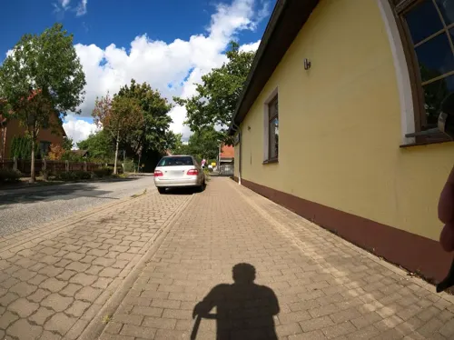

Meyers Hofladen
Farm and orchard · 5.7 km
4 Am Grasplatz, Braunschweig
Th 13:00-18:00; Fr 08:00-18:00; Sa 08:00-13:00
Papes Gemüsegarten
Farm and orchard · 5.9 km
360 Celler Heerstraße, Braunschweig
Mo-Sa 08:00-18:00; Su 10:00-17:00
Sanderbrandes
Farm and orchard · 3.7 km
13 Hauptstraße, Schwülper
Mo-Su 08:00-19:00

Museums and landmarks12
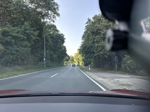



Meilenstein
Monument and historic site · 2.1 km
Hannoverischer Ganzmeilenstein in Schwülper OT Groß Schwülper ID:33938600

Parks, trails and playgrounds40



NSG Nördliche Okeraue zwischen Hülperode und Neubrück
Hiking and trails · 3.3 km

Auebad
Sports field and stadium · 0.9 km
May-Sep: Mo-Fr 06:00-20:00; May-Sep: Sa,Su,PH 08:00-20:00



Yachthafen Am Heidanger
Marina and boat launch · 5.7 km
1 Am Heidanger, Vechelde
28 more on the map.
Restaurants and cafes56

Wendezeller Stuben
Restaurant · German · 0.9 km
35 Braunschweiger Straße, Wendeburg
We-Fr 17:00+; Sa, Su, PH 11:30+
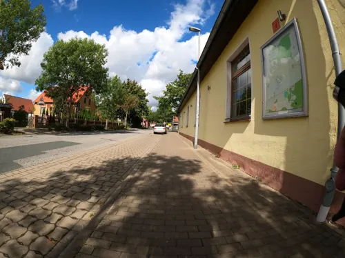
Altes Landhaus Meerdorf
Restaurant · German · 5.5 km
13 Woltorfer Straße, Wendeburg
Tu-Sa 17:00+; Su 11:30-14:00, 17:00+
Altes Zollhaus
Restaurant · German, Regional · 3.5 km
2 Celler Straße, Schwülper
Mo-Sa 17:30-22:30; Su 12:00-21:00
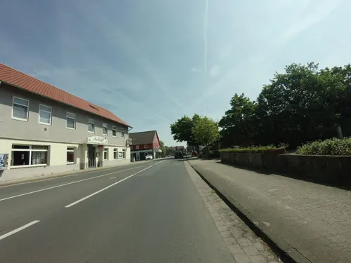
Fellini Restaurant
Restaurant · Italian, Pizza, Kneipe · 3.9 km
10 Hauptstraße, Schwülper
12:00-14:30,17:00-22:30, Mo off
The Seven
Restaurant · Burger, American · 1.2 km
7 Büssingstraße, Wendeburg
We-Th 17:00-22:00; Fr-Sa 17:00-23:00; Su 17:00-21:00
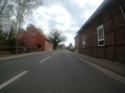
Zur Linde
Restaurant · German · 3.4 km
1 Holzmark, Sophiental
keine festen Öffnungszeiten, weitere iIfos auf der Webseite
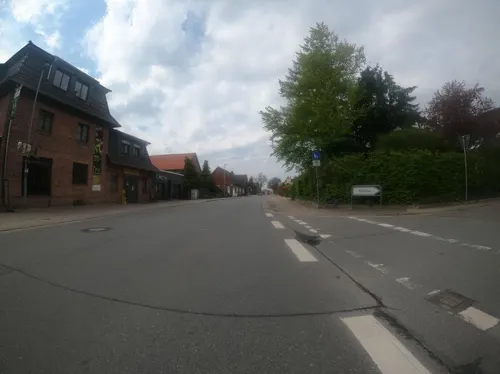


Restaurant am Yachthafen
Restaurant · 5.8 km
1 Am Heidanger, Vechelde
We-Th 17:00-22:00; Fr-Sa 15:00-22:00; Su 11:30-17:00
44 more on the map.
Where to stay3
Churches and places of worship28
Neuapostolische Kirche Gemeinde Wendeburg-Neubrück
Church · New Apostolic · 4.3 km
1A Ostpreußenstraße, Wendeburg
Shopping15
Gas and EV charging11
Schools, colleges and libraries10
Healthcare6
Map of Wendeburg
190 places. The map loads OpenStreetMap tiles when you open it.
Getting there and nearby towns
Forschungsflughafen Braunschweig-Wolfsburg (BWE) is the nearest airport with scheduled flights listed in OpenStreetMap, 11 km away.
- Klein Schwülper 3 km northeast, about 3 min by car
- Völkenrode 4 km southeast, about 4 min by car
- Neubrück 5 km north, about 5 min by car
- Watenbüttel 6 km southeast, about 6 min by car
- Braunschweig 12 km southeast, about 12 min by car
- Salzgitter 19 km south, about 19 min by car
- Wolfsburg 28 km east, about 28 min by car
- Hildesheim 36 km southwest, about 36 min by car
- Hannover 45 km west, about 45 min by car
- Magdeburg 87 km east, about 1 h 30 min by car
Drive times are estimates from straight-line distance, not routes.
Local news
Headlines from INDB.
Reviews, tips and questions
Loading what members have shared...
Sources and licences
- GeoNames (CC BY 4.0): population, coordinates, regions and time zone
- Mapillary (see each image): photos
- OpenStreetMap contributors (ODbL 1.0): places, airports, map data
- Wikidata (CC0 1.0): elevation, founding date, time zone, website
- Wikimedia Commons (see each image): photos
- Wikipedia (CC BY-SA 4.0): overview and history text
Photo credits
- Kirche Wendeburg 2, Hydro, CC BY-SA 4.0
- Hoher Hof 36, 2, Wendeburg, Landkreis Peine, GeorgDerReisende, CC BY-SA 4.0
- Hoher Hof 5, 1, Wendeburg, Landkreis Peine, GeorgDerReisende, CC BY-SA 4.0
- Hoher Hof 9, 1, Wendeburg, Landkreis Peine, GeorgDerReisende, CC BY-SA 4.0
- Hoher Hof 36, 1, Wendeburg, Landkreis Peine, GeorgDerReisende, CC BY-SA 4.0
- Hoher Hof 2, 1, Wendeburg, Landkreis Peine, GeorgDerReisende, CC BY-SA 4.0
- Eichenweg 1, 1, Wendeburg, Landkreis Peine, GeorgDerReisende, CC BY-SA 4.0
- Peiner Straße 2, 1, Wendeburg, Landkreis Peine, GeorgDerReisende, CC BY-SA 4.0
- Peiner Straße 3, 1, Wendeburg, Landkreis Peine, GeorgDerReisende, CC BY-SA 4.0
- Linie 560, 2, Wendeburg, Landkreis Peine, GeorgDerReisende, CC BY-SA 4.0
- Hoher Hof 9, 2, Wendeburg, Landkreis Peine, GeorgDerReisende, CC BY-SA 4.0
- Hoher Hof 13, 1, Wendeburg, Landkreis Peine, GeorgDerReisende, CC BY-SA 4.0
- Hoher Hof 12, 1, Wendeburg, Landkreis Peine, GeorgDerReisende, CC BY-SA 4.0
- Peiner Straße 5 + 5a, 1, Wendeburg, Landkreis Peine, GeorgDerReisende, CC BY-SA 4.0
- Bushaltestelle Im Kirchwinkel, 2, Wendeburg, Landkreis Peine, GeorgDerReisende, CC BY-SA 4.0
- Linie 513, 1, Wendeburg, Landkreis Peine, GeorgDerReisende, CC BY-SA 4.0
- Peiner Straße 14, 2, Wendeburg, Landkreis Peine, GeorgDerReisende, CC BY-SA 4.0
- Peiner Straße 16a, 1, Wendeburg, Landkreis Peine, GeorgDerReisende, CC BY-SA 4.0
- Bushaltestelle Im Kirchwinkel, 1, Wendeburg, Landkreis Peine, GeorgDerReisende, CC BY-SA 4.0
- Peiner Straße 14, 1, Wendeburg, Landkreis Peine, GeorgDerReisende, CC BY-SA 4.0
- Peiner Straße 18, 1, Wendeburg, Landkreis Peine, GeorgDerReisende, CC BY-SA 4.0
- Peiner Straße, 1, Wendeburg, Landkreis Peine, GeorgDerReisende, CC BY-SA 4.0
- Bushaltestelle Ahornring, 2, Wendeburg, Landkreis Peine, GeorgDerReisende, CC BY-SA 4.0
- Bushaltestelle Ahornring, 1, Wendeburg, Landkreis Peine, GeorgDerReisende, CC BY-SA 4.0
- Schulstraße 1, 1, Wendeburg, Landkreis Peine, GeorgDerReisende, CC BY-SA 4.0
- Braunschweiger Straße 7, 1, Wendeburg, Landkreis Peine, GeorgDerReisende, CC BY-SA 4.0
- Schulstraße 9, 1, Wendeburg, Landkreis Peine, GeorgDerReisende, CC BY-SA 4.0
- Bushaltestelle Grundschule, 1, Wendeburg, Landkreis Peine, GeorgDerReisende, CC BY-SA 4.0
- Schulstraße 1, 2, Wendeburg, Landkreis Peine, GeorgDerReisende, CC BY-SA 4.0
- Schulstraße 9a, 1, Wendeburg, Landkreis Peine, GeorgDerReisende, CC BY-SA 4.0
- Schulstraße 9a, 2, Wendeburg, Landkreis Peine, GeorgDerReisende, CC BY-SA 4.0
- Schulstraße 2, 2, Wendeburg, Landkreis Peine, GeorgDerReisende, CC BY-SA 4.0
- Peiner Straße 17, 1, Wendeburg, Landkreis Peine, GeorgDerReisende, CC BY-SA 4.0
- Bushaltestelle Ehrenkamp, 2, Wendeburg, Landkreis Peine, GeorgDerReisende, CC BY-SA 4.0
- Schwarzflaeche Okerauen, Donkey shot, CC BY 3.0
- Kirche Wendeburg 1, Hydro, CC BY-SA 4.0
- Noerdliche Okeraue, TeWeBs, CC BY-SA 3.0
- Kirche Sophiental 1, Hydro, CC BY-SA 4.0
- Evangelisch-lutherische Kirche Meerdorf (Peine), Hans-Joachim Engelhardt, CC BY-SA 4.0
- St.-Nikolai-Kirche in Groß Schwülper (Schwülper) IMG 6459, Losch, CC BY-SA 3.0
- St. Georg (Bortfeld) 3, Hydro, CC BY-SA 4.0
- Liebfrauen-Kirche in Woltorf (Peine) IMG 7607, losch / Losch at German Wikipedia, CC BY-SA 3.0
- BS Völkenrode Kirche, TeWeBs, CC BY-SA 3.0
- BS Watenbüttel Kirche, TeWeBs, CC BY-SA 3.0
- Didderse St-Viti-Kirche, TeWeBs, CC BY-SA 4.0
- Gross Schwuelper Hannoverischer Ganzmeilenstein, Radler59 ( talk ), CC BY-SA 4.0
- MarinaWedtlenstedtP1090232, Okernick, CC0
- Wendeburg Kirche kath, Kirchenfan, CC0
- Woltorf Wasserturm, Radler59, CC BY-SA 3.0
- Street-level photo, Langfahrer, CC BY-SA 4.0
- Street-level photo, moenk, CC BY-SA 4.0
- Street-level photo, Langfahrer, CC BY-SA 4.0
- Street-level photo, ankeric, CC BY-SA 4.0
- Street-level photo, Langfahrer, CC BY-SA 4.0
- Street-level photo, Langfahrer, CC BY-SA 4.0
- Street-level photo, Langfahrer, CC BY-SA 4.0
- Street-level photo, m4p1ll4ry, CC BY-SA 4.0
- Street-level photo, maxd, CC BY-SA 4.0
- Street-level photo, DruideBizeps, CC BY-SA 4.0
- Street-level photo, Langfahrer, CC BY-SA 4.0
- Street-level photo, chuck, CC BY-SA 4.0
- Street-level photo, Langfahrer, CC BY-SA 4.0
- Street-level photo, km2bp, CC BY-SA 4.0
- Street-level photo, ankeric, CC BY-SA 4.0
- Street-level photo, bvblers, CC BY-SA 4.0
- Street-level photo, bvblers, CC BY-SA 4.0
- Street-level photo, Langfahrer, CC BY-SA 4.0
- Street-level photo, bvblers, CC BY-SA 4.0
- Street-level photo, Hightower-, CC BY-SA 4.0
- Street-level photo, LHL, CC BY-SA 4.0
- Street-level photo, svenruppert, CC BY-SA 4.0


Page built November 8, 2026. Spotted a mistake? Tell us or suggest a place.