


Why visit Winnenden
Townapedia lists 38 museums and landmarks, 63 parks and trails, 146 places to eat, 5 places to stay and 22 attractions in and around town.
Highlights include Knödlers Obstgarten, Via Höfen, Feuerwehrmuseum and Alte Schmiede.
Weather in Winnenden
Forecast from MET Norway (CC BY 4.0). Full forecast
About Winnenden
Winnenden (German pronunciation: [ˈvɪnəndn̩] ; Swabian: Wẽnnede) is a small town in the Rems-Murr district of the Stuttgart Region in Baden-Württemberg in southwest Germany. It lies in a wine-growing area approx. 20 km (12 mi) northeast of Stuttgart and has a population of fewer than 28,000. The town is home to the Kärcher Company, makers of cleaning equipment namely pressure washers.
From the Wikipedia article Winnenden (this version), under CC BY-SA 4.0.
Things to do22

Knödlers Obstgarten
Farm and orchard · 4.3 km
22 Heidenhof, Leutenbach
Mo-Fr 08:00-19:00; Sa 08:00-18:00; PH Su off
Via Höfen
Farm and orchard · 1.8 km
29 Winnender Straße, Winnenden
Mo,Tu,We,Fr 08:00-13:00,14:00-18:00, Sa 08:00-14:00





10 more on the map.
Museums and landmarks38

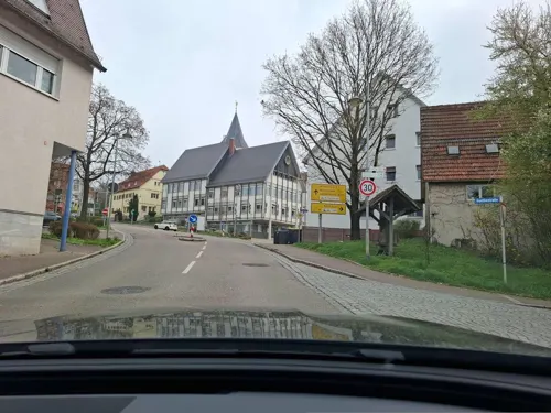



Heimatmuseum Schwaikheim
Museum · 3.6 km
20 Goethestraße, Schwaikheim
"Jeden 1. Sonntag im Monat, 14–17 Uhr"

Winnender Heimattage 2019
Monument and historic site · 3.8 km
Heimattage Winnnenden - Projekt Heimatfenster
26 more on the map.
Parks, trails and playgrounds63


Oberes Zipfelbachtal mit Seitenklinge und Teilen des Sonnenbergs
Hiking and trails · 3.0 km


51 more on the map.
Restaurants and cafes146

Traube Hanweiler
Restaurant · Regional · 2.6 km
59 Weinstraße, Winnenden
Mo,Th,Fr 11:00-15:00,16:30-22:00; Sa,Su 11:00-22:00
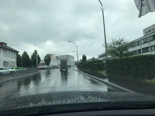
Altes Rathaus
Restaurant · International · 1.6 km
35 Hauptstraße, Leutenbach
Mo,We,Th,Fr 11:30-14:00,17:00-24:00; Sa 17:00-24:00; Su 11:30-22:00
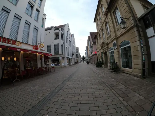
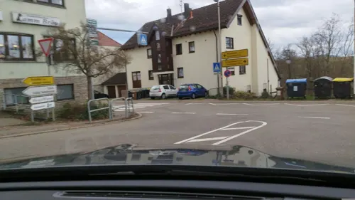
Brauhaus Lamm
Restaurant · Regional, German · 3.3 km
2 Friedrich-Köhnlein-Straße, Leutenbach
Mo-Sa 11:00-14:00,17:00-23:00; Su 11:00-23:00; PH 11:00-23:00
Hanweiler Besen
Restaurant · Heuriger, Regional · 2.7 km
15 Trollingerstraße, Winnenden
Th-Mo 11:00-22:00
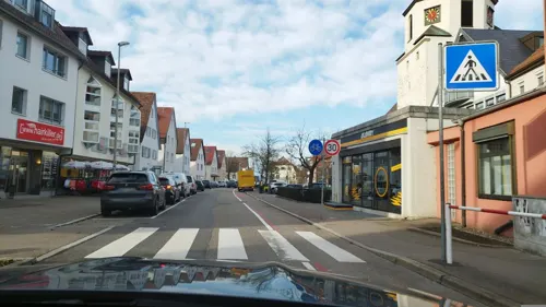
Panda Asia Imbis
Restaurant · Thai, Chinese
3 Paulinenstraße, Winnenden
Mo-Fr 11:00-15:00,17:00-22:00; Su 12:00-22:00
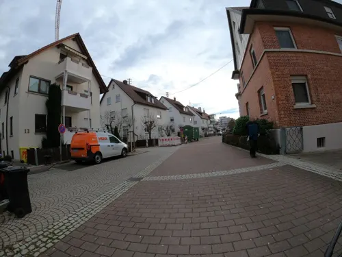
Papaya Restaurant
Restaurant · Vietnamese
8 Kornbeckstraße, Winnenden
Mo-Fr,Su 11:30-14:30,17:30+, Sa 17:30+
Pizzeria Italia
Restaurant · Pizza, Italian · 1.8 km
59 Bruckwiesenstraße, Winnenden
Tu-Fr 12:00-14:00,17:30-22:00; PH,Sa,Su 12:00-22:00
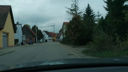
Pizzeria Zum Löwen
Restaurant · Italian, Pizza · 2.0 km
26 Bürger Straße, Winnenden
Tu-Sa 17:00-22:30; Su 11:00-14:30,17:00-22:30
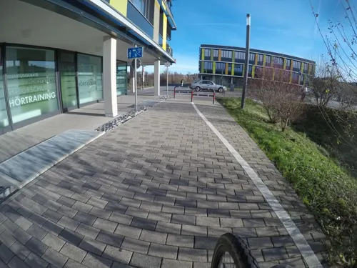
Prego da Mario
Restaurant · Italian · 0.8 km
2 Am Jakobsweg, Winnenden
Mo-Fr 10:00-22:00; Sa,Su 11:00-23:00


134 more on the map.
History
The earliest record of Winnenden is found in a document of 1181 where Gottfried of Schauenburg-Winnenden is mentioned as a witness testifying that Emperor Friedrich I held the castle in the town. Around 1200 the castle, which was then called Windin, came into the possession of Heinrich of Neuffen. In 1277 it was transferred to Konrad von Weinsberg. On 10 October 1325 the castle and town were sold to Württemberg.
In the German Peasants' War Winnenden was first under the control of the Armer Konrad or the peasants' army, but by 1519 it was under the control of the Swabian League. In 1616 an epidemic took the lives of approximately half of the population of Winnenden. During the Thirty Years' War the city was pillaged twice, in 1638 and 1643, and Imperial, French, and Swedish troops occasionally occupied Winnenden during this conflict. Around the same time the town's castle became the seat of the Württemberg-Winnental line of the House of Württemberg.
In March 2008, Winnenden and the nearby town of Backnang jointly hosted the World Individual Debating and Public Speaking Championships in cooperation with the German Debating Society. The competition was conducted at one of Winnenden's high schools, the Lessinggymnasium, and at a high school in Backnang, the Max-Borngymnasium.
From the History section of Winnenden on Wikipedia, under CC BY-SA 4.0.
Where to stay5
Churches and places of worship26
Mauritiuskirche
Church · Protestant · 3.5 km
1 Pfarrgasse, Schwaikheim
Peterskirche
Church · Protestant · 3.3 km
21 Friedrich-Köhnlein-Straße, Leutenbach
Evangelische Kirche Birkmannsweiler
Church · 2.5 km
16 Oberer Kirchweg, Winnenden
Shopping37
Gas and EV charging9
Schools, colleges and libraries27
Healthcare14
Map of Winnenden
250 places. The map loads OpenStreetMap tiles when you open it.
Getting there and nearby towns
Manfred Rommel Airport Stuttgart (STR) is the nearest airport with scheduled flights listed in OpenStreetMap, 25 km away.
- Leutenbach 1 km north, about 1 min by car
- Schwaikheim 4 km west, about 4 min by car
- Korb 4 km southwest, about 4 min by car
- Stuttgart 19 km southwest, about 19 min by car
- Heilbronn 32 km northwest, about 32 min by car
- Reutlingen 45 km south, about 45 min by car
- Pforzheim 51 km west, about 51 min by car
- Ulm 69 km southeast, about 1 h 15 min by car
- Karlsruhe 74 km west, about 1 h 15 min by car
- Heidelberg 78 km northwest, about 1 h 15 min by car
Drive times are estimates from straight-line distance, not routes.
Local news
Headlines from INDB.
Reviews, tips and questions
Loading what members have shared...
Sources and licences
- GeoNames (CC BY 4.0): population, coordinates, regions and time zone
- Mapillary (see each image): photos
- OpenStreetMap contributors (ODbL 1.0): places, airports, map data
- Wikidata (CC0 1.0): elevation, founding date, time zone, website
- Wikimedia Commons (see each image): photos
- Wikipedia (CC BY-SA 4.0): overview and history text
Photo credits
- Diebsturm Winnenden1036, Megatherium, CC BY-SA 4.0
- Stadtkirche St. Bernhard in Winnenden - panoramio, Clemens Pohl, CC BY-SA 3.0
- Diebsturm Winnenden1038, Megatherium, CC BY-SA 4.0
- Winnenden - Diebsturm - panoramio, Красимир Косев, CC BY 3.0
- Winnenden Marktstraße und Torturm, Jedesto, CC BY-SA 4.0
- Winnenden-Marktplatz,Schwaikheimer Torturm - panoramio, Красимир Косев, CC BY 3.0
- Landappbw 500920 1819 Altes Rathaus Winnenden, Kolonist, CC0
- Winnenden-Marktstrase - panoramio, Красимир Косев, CC BY 3.0
- Winnenden - Altstadt - Marktplatz - Altes Rathaus und Marktbrunnen von SO (1), Roman Eisele, CC BY-SA 4.0
- Winnenden - Stadtkirche St. Bernhard - panoramio, Красимир Косев, CC BY 3.0
- Winnenden - Stadtkirche St. Bernhard - panoramio (1), Красимир Косев, CC BY 3.0
- Winnenden - Zentrum für Psychiatrie,Museum und Schlosscafé - panoramio, Красимир Косев, CC BY 3.0
- Psychiatrisches Landeskrankenhaus Winnenden - panoramio, Красимир Косев, CC BY 3.0
- Bahnhof Winnenden - panoramio, qwesy qwesy, CC BY 3.0
- Buerg DSC0191, Schlepptender, CC BY 3.0
- Haselstein5764, Megatherium, CC BY-SA 4.0
- LSG Sörenberg, Laserlicht, CC BY-SA 4.0
- Ausblick ins Remstal bei Waiblingen - geo.hlipp.de - 109313, Andreas Gmelin-Rewiako on geo.hlipp.de, CC BY-SA 2.0
- Kleinheppacher Kopf, Laserlicht, CC BY-SA 4.0
- Zipfelbach330, Megatherium, CC BY-SA 4.0
- Bahnhof Winnenden 39, Giftzwerg 88, CC BY-SA 3.0
- Schlosskirche Winnenden 5456, Megatherium, CC BY-SA 4.0
- Kirche Birkmannsweiler 5442, Megatherium, CC BY-SA 4.0
- Pfarrkirche korb, Megatherium, CC BY-SA 4.0
- Schwaikheim mauritius ansichtturm1200x1600 hp rothmund, hp rothmund, CC BY 3.0
- Leutenbach 204-11-011 Weiler-zum-Stein Peterskirche-A-MTh (04), MTheiler, CC BY-SA 3.0
- Winnenden methodistisch seite1550x1163 michael durwen, michael durwen, CC BY 3.0
- Ansicht Bürg Burg Altwinnenden, Cyber Herbert, CC0
- Winnenden schloss aussenchor778x1037 okr stuttgart, okr stuttgart, CC BY 3.0
- RMK Vorplatz Panorama, Jedesto, CC BY-SA 4.0
- Marktplatz-Marktbrunnen - panoramio, Красимир Косев, CC BY 3.0
- Marktplatz-Marktbrunnen-Schwaikheimer Torturm - panoramio, Красимир Косев, CC BY 3.0
- Kunze - panoramio, Красимир Косев, CC BY 3.0
- Waiblinger Str. ,Ringstrase - panoramio, Красимир Косев, CC BY 3.0
- Schiller-eiche 2067, Megatherium, CC BY-SA 4.0
- Martin Schoeneich Gebrochener Ring 1, Thilo Parg, CC BY-SA 4.0
- Martin Schoeneich Gebrochener Ring 2, Thilo Parg, CC BY-SA 4.0
- Rems-Murr-Kliniken 2024-03-02 MTh2, MTheiler, CC BY-SA 3.0
- Rems-Murr-Kliniken 2024-03-02 MTh1, MTheiler, CC BY-SA 3.0
- Buchenbach4949, Megatherium, CC BY-SA 4.0
- Street-level photo, VIA_KK, CC BY-SA 4.0
- Street-level photo, ravrol, CC BY-SA 4.0
- Street-level photo, mfa, CC BY-SA 4.0
- Street-level photo, bct, CC BY-SA 4.0
- Street-level photo, VIA_KK, CC BY-SA 4.0
- Street-level photo, bct, CC BY-SA 4.0
- Street-level photo, mfa, CC BY-SA 4.0
- Street-level photo, mammi71, CC BY-SA 4.0
- Street-level photo, bct, CC BY-SA 4.0
- Street-level photo, bct, CC BY-SA 4.0
- Street-level photo, mfa, CC BY-SA 4.0
- Street-level photo, mfa, CC BY-SA 4.0
- Street-level photo, VIA_KK, CC BY-SA 4.0
- Street-level photo, VIA_KK, CC BY-SA 4.0
- Street-level photo, bct, CC BY-SA 4.0
- Street-level photo, bct, CC BY-SA 4.0
- Street-level photo, mfa, CC BY-SA 4.0
- Street-level photo, ravrol, CC BY-SA 4.0
- Street-level photo, bct, CC BY-SA 4.0
- Street-level photo, mammi71, CC BY-SA 4.0
- Street-level photo, bct, CC BY-SA 4.0
- Street-level photo, bct, CC BY-SA 4.0
- Street-level photo, bct, CC BY-SA 4.0


Page built November 8, 2026. Spotted a mistake? Tell us or suggest a place.