



Why visit Banhā
Townapedia lists 2 museums and landmarks and 4 places to eat in and around town.
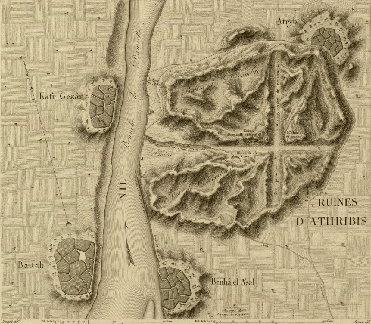
Highlights include Athribis and Bta.
Weather in Banhā
Forecast from MET Norway (CC BY 4.0). Full forecast
About Banhā
Banha (Arabic: بنها [ˈbænhæ]) is the capital of the Qalyubiyya Governorate in north-eastern Egypt. Between the capital of Cairo and the city of Tanta, Banha is an important transport hub, as rail lines from Cairo to various cities in the Nile Delta pass through it. Benha is a part of Greater Cairo. Banha was founded as a city in 1850.
From the Wikipedia article Banha (this version), under CC BY-SA 4.0.
Travel tips from other travellers: Banhā on Wikivoyage (CC BY-SA 4.0).
Museums and landmarks2

Restaurants and cafes4



Buffalo Burger - Banha
Fast food · Burger · 0.9 km
طعم البرجر الأمريكي الأصلي بمكونات فاخرة ولمسة مصرية ملهاش حل بنقدملك ألذ برجر، فرايد تشيكن، وتشكيلة واسعة ومتنوعة من الساندوتشات اللي...
شارع ابراهيم النورى, Banha
Mo-Su 11:00-24:00
Schools, colleges and libraries2

Healthcare3

Map of Banhā
11 places. The map loads OpenStreetMap tiles when you open it.
Getting there and nearby towns
Cairo International Airport (CAI) is the nearest airport with scheduled flights listed in OpenStreetMap, 44 km away.
- Quwaysinā 12 km north, about 12 min by car
- Zagazig 34 km northeast, about 34 min by car
- Shubrā al Khaymah 38 km south, about 38 min by car
- Al-'Ubūr 38 km southeast, about 38 min by car
- Tanta 40 km northwest, about 40 min by car
- Cairo 45 km south, about 45 min by car
- Giza 50 km south, about 50 min by car
- New Cairo 55 km southeast, about 55 min by car
- Al Maḩallah al Kubrá 57 km north, about 57 min by car
- Al ‘Āshir min Ramaḑān 57 km east, about 57 min by car
Drive times are estimates from straight-line distance, not routes.
Local news
Headlines from INDB.
Reviews, tips and questions
Loading what members have shared...
Sources and licences
- GeoNames (CC BY 4.0): population, coordinates, regions and time zone
- OpenStreetMap contributors (ODbL 1.0): places, airports, map data
- Wikidata (CC0 1.0): elevation, founding date, time zone, website, landmarks and historic places
- Wikimedia Commons (see each image): photos
- Wikipedia (CC BY-SA 4.0): overview and history text
Photo credits
- Banha-Egypt, Michael Botros, CC BY 4.0
- Athribis Plan, Unknown author, Public domain
Page built November 7, 2026. Spotted a mistake? Tell us or suggest a place.