


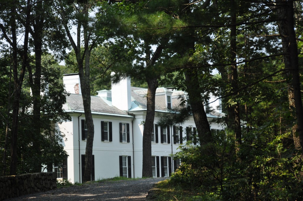

Framingham, Massachusetts
Framingham is a city of 72,399 people in Middlesex County, Massachusetts.
Why visit Framingham
Townapedia lists 75 museums and landmarks, 140 parks and trails, 174 places to eat, 15 places to stay and 24 attractions in and around town.
Highlights include AMC Framingham 16, Framingham State University, Concord Square Historic District and Danforth Art.
July is the warmest month, with average highs of 82°F; January lows average 18°F, and about 46 inches of snow fall in a normal year.
Weather in Framingham
Forecast from the National Weather Service. Full forecast
Things to do24


Framingham State University
School · 0.7 mi
Public university in Framingham, Massachusetts, United States

12 more on the map.
Museums and landmarks75

Concord Square Historic District
Monument and historic site · National Register of Historic Places · 2.3 mi
Historic district in Massachusetts, United States


Framingham Centre Common Historic District
Monument and historic site · National Register of Historic Places · 0.5 mi
Historic district in Massachusetts, United States

Irving Square Historic District
Monument and historic site · National Register of Historic Places · 2.4 mi
Historic district in Massachusetts, United States
Sudbury Dam Historic District
Monument and historic site · National Register of Historic Places · 2.8 mi
Historic district in Massachusetts, United States

Asa Sanger House
Monument and historic site · National Register of Historic Places · 5.8 mi
House in Sherborn, Massachusetts, United States

Ashland Dam and Spillway
Monument and historic site · National Register of Historic Places · 4.4 mi
Dam in Ashland, Massachusetts

Ashland Town House
Monument and historic site · National Register of Historic Places · 3.6 mi
Town hall in Ashland, Massachusetts

Bogle-Walker House
Monument and historic site · National Register of Historic Places · 4.3 mi
Building in Massachusetts, United States

Bullen-Stratton-Cozzen House
Monument and historic site · National Register of Historic Places · 4.1 mi
Building in Massachusetts, United States
Charles D. Lewis House
Monument and historic site · National Register of Historic Places · 4.8 mi
Building in Massachusetts, United States


Clark Houses
Monument and historic site · National Register of Historic Places · 4.4 mi
Building in Massachusetts, United States
63 more on the map.
Parks, trails and playgrounds140




128 more on the map.
Restaurants and cafes174

Ashland Ale House
Diner · American · 3.5 mi
23 Pond Street, Ashland
Mo-Th,Su 11:30-23:00; Fr,Sa 11:30-24:00

Doragon Eatery
Restaurant · Ramen · 4.0 mi
1 West Union Street, Ashland
Mo-We 16:00-21:00; Th-Su 11:00-21:00
Oak Barrel Tavern
Diner · American · 3.7 mi
528A Boston Post Road, Sudbury
Mo-Th 16:00-21:00; Fr 16:00-22:00; Sa 12:00-22:00; Su 12:00-21:00
Sam Sushi Art & Music
Restaurant · Brazilian, Japanese, Sushi · 2.2 mi
181 Concord Street
Su-We 11:30-22:00; Th 11:30-23:00; Fr-Sa 11:30-00:00

Starbucks
Cafe · Coffee Shop · 1.0 mi
573 Worcester Road, Framingham
Mo-Fr 04:30-20:30; Sa,Su 05:30-19:30
Sushi Time To Go
Restaurant · Sushi · 2.4 mi
16 Irving Street, Framingham
We 16:00-22:30; Th 16:00-23:00; Fr 15:00-23:00; Sa-Su 14:30-23:00

The Brass Tap
Bar and pub · American, Burger · 1.4 mi
770 Water Street, Framingham
Mo-We 11:00-22:30; Th 11:30-23:00; Fr-Sa 11:30-00:00; Su 11:30-22:30
Bronzetti's Pizza and Kitchen
Restaurant · Italian · 2.2 mi
55 Park Street, Framingham
Tu 11:30-21:00; We-Sa 11:30-21:00; Su 12:00-20:00
Bullfinchs Restaurant & Catering
Restaurant · 3.7 mi
730 Boston Post Road, Sudbury
Mo-Tu off; We-Th 17:00-20:00; Fr-Sa 17:00-21:00; Su 17:00-20:00
162 more on the map.
Where to stay15
Sheraton Framingham Hotel & Conference Center
Motel and hotel · 2.3 mi
1657 Worcester Road, Framingham
Churches and places of worship47
Beacon of Hope United Methodist Church of Framingham
Church · United Methodist · 1.6 mi
360 Water Street, Framingham
Framingham Centre Seventh-day Adventist Church
Church · Seventh Day Adventist
252 Edgell Road, Framingham
Memorial Congregational Church
Church · Congregational · 4.0 mi
26 Concord Road, Sudbury
New Life Presbyterian Community Church
Church · Presbyterian · 2.1 mi
73 Union Avenue, Framingham
Shopping47
Gas and EV charging28
Schools, colleges and libraries94
Healthcare16
Map of Framingham
250 places. The map loads OpenStreetMap tiles when you open it.
Climate by month
Monthly table
| Month | High | Low | Rain | Snow |
|---|---|---|---|---|
| Jan | 35°F | 18°F | 3.4 in | 13.8 in |
| Feb | 38°F | 18°F | 3.1 in | 8.9 in |
| Mar | 46°F | 25°F | 4.0 in | 8.2 in |
| Apr | 58°F | 35°F | 4.1 in | 2.2 in |
| May | 68°F | 46°F | 3.8 in | 0.0 in |
| Jun | 76°F | 56°F | 4.1 in | 0.0 in |
| Jul | 82°F | 62°F | 3.9 in | 0.0 in |
| Aug | 80°F | 59°F | 3.8 in | 0.0 in |
| Sep | 73°F | 52°F | 4.2 in | 0.0 in |
| Oct | 62°F | 40°F | 4.8 in | 0.0 in |
| Nov | 51°F | 31°F | 3.7 in | 1.1 in |
| Dec | 41°F | 23°F | 4.4 in | 11.5 in |
U.S. Climate Normals 1991-2020 for Natick (5 mi away), NOAA NCEI.
People and cost of living
American Community Survey 5-year estimates, 2020-2024, U.S. Census Bureau. Estimates have margins of error, larger for small towns.
Disaster history
Middlesex County has had 26 federal disaster declarations since 2000, most often for severe storms.
- 2023-09-15: Hurricane Lee (Hurricane)
- 2020-03-27: Covid-19 Pandemic (Biological)
- 2020-03-13: Covid-19 (Biological)
- 2018-07-19: Severe Winter Storm And Snowstorm (Snowstorm)
- 2015-04-13: Severe Winter Storm, Snowstorm, And Flooding (Severe Storm)
- 2013-04-19: Severe Winter Storm, Snowstorm, And Flooding (Severe Storm)
OpenFEMA disaster declarations summaries.
Getting there and nearby towns
Minute Man Airfield (MMN) is the nearest airport with scheduled flights listed in OpenStreetMap, 11 miles away.
- Dedham 14 mi east, about 22 min by car
- Belmont 14 mi northeast, about 23 min by car
- Brookline 15 mi east, about 24 min by car
- Arlington 16 mi northeast, about 26 min by car
- Cambridge 17 mi east, about 27 min by car
- Burlington 18 mi northeast, about 29 min by car
- Worcester 19 mi west, about 31 min by car
- Everett 21 mi east, about 33 min by car
- Boston 22 mi east, about 35 min by car
- Quincy 22 mi east, about 36 min by car
Drive times are estimates from straight-line distance, not routes.
Local news
Headlines from INDB, the NEMICO news database.
Reviews, tips and questions
Loading what members have shared...
Sources and licences
- NCES EDGE (Public domain): public schools
- NOAA NCEI U.S. Climate Normals 1991-2020 (Public domain): climate by month
- OpenFEMA (Public domain): disaster declarations
- OpenStreetMap contributors (ODbL 1.0): places, airports, map data
- U.S. Census Bureau (Public domain): population, income, housing, education, commute
- Wikidata (CC0 1.0): landmarks and historic places
- Wikimedia Commons (see each image): photos
Photo credits
- FraminghamMA SudburyDamGatehouse, User:Magicpiano, CC BY-SA 4.0
- Fram common, Jerem43 at English Wikipedia, Public domain
- Concord Square, July 2012, Framingham MA, John Phelan, CC BY-SA 3.0
- Odd Fellows Building, Framingham MA, John Phelan, CC BY 3.0
- SouthboroughMA JDCBradleyHouse, User:Magicpiano, CC BY-SA 4.0
- Eleazer Goulding House, Sherborn MA, John Phelan, CC BY 3.0
- MarlboroughMA SpringHillCemetery, User:Magicpiano, CC BY-SA 4.0
- Lake Cochituate Dam, Framingham MA, John Phelan, CC BY 3.0
- Sherborn Center, Marcbela (Marc N. Belanger), Public domain
- Thomas Fleming House - Sherborn, Massachusetts - DSC02965, Daderot, CC0
- Isaac Bullard House, Holliston MA, John Phelan, CC BY 3.0
- 88 Concord Road, South Sudbury MA, John Phelan, CC BY-SA 3.0
- Old Town Bridge (Wayland, Massachusetts) - DSC00505, Daderot, Public domain
- Hopkinton Dam and Spillway, Ashland MA, John Phelan, CC BY 3.0
- Wayside Inn1, Dudesleeper at English Wikipedia, CC BY 2.5
- Clark-Northrup House - Sherborn, Massachusetts - DSC02951, Daderot, CC0
- FraminghamMA PaulGibbsHouse, User:Magicpiano, CC BY-SA 4.0
- Joseph Twitchell House - Sherborn, Massachusetts - DSC02990, Daderot, CC0
- Goodnow Library, December 2012, South Sudbury MA, John Phelan, CC BY-SA 3.0
- NatickMA RobertJenisonHouse, User:Magicpiano, CC BY-SA 4.0
- Joseph Cleale House - Sherborn, Massachusetts - DSC02994, Daderot, CC0
- FraminghamMA ReservoirNumberOneGatehouse, User:Magicpiano, CC BY-SA 4.0
- Ashland Town Hall, MA, John Phelan, CC BY 3.0
- Morse-Tay-Leland-Hawes House - Sherborn, Massachusetts - DSC02979, Daderot, CC0
- BogleWalkerHouse, M. McCarthy, Public domain
- Asa Sanger House - Sherborn, Massachusetts - DSC02976, Daderot, CC0
- HudsonMA GoodaleHomestead, User:Magicpiano, CC BY-SA 4.0
- FraminghamMA ReservoirNumberTwoGatehouse, User:Magicpiano, CC BY-SA 4.0
- WestonMA SamuelTrainHouse, User:Magicpiano, CC BY-SA 4.0
- North facing view of the gatehouse, RomulusMA, CC BY-SA 4.0
- Wayland Depot, Wayland MA, John Phelan, CC BY 3.0
- SouthboroughMA SouthUnionSchool, User:Magicpiano, CC BY-SA 4.0
- Southborough Town House - Southborough, MA - IMG 0678, Daderot, Public domain
- Richard Sanger III House - Sherborn, Massachusetts - DSC02969, Daderot, CC0
- FraminghamMA MosesEllisHouse, User:Magicpiano, CC BY-SA 4.0
- Bullen-Stratton-Cozzen House, Sherborn MA, John Phelan, CC BY 3.0
- SherbornMA EdwardsPlainDowsesCornerHD, User:Magicpiano, CC BY-SA 4.0
- 76 West Central, Charles P. MacMullen, Public domain
- Sawin-Bullen-Bullard House, Sherborn MA, John Phelan, CC BY 3.0
- Natick center, Marcbela (Marc N. Belanger), Public domain


Page built October 30, 2026. Spotted a mistake? Tell us or suggest a place.