
Sandwick, United Kingdom
Sandwick is a town of 1,217 people in Scotland, United Kingdom.
Why visit Sandwick
Townapedia lists 3 museums and landmarks, 2 parks and trails, 1 place to eat, 1 place to stay and 3 attractions in and around town.
Highlights include Forsan and Catpund.
Weather in Sandwick
Forecast from MET Norway (CC BY 4.0). Full forecast
About Sandwick
Sandwick (Shaetlan pronunciation: [ˈsæᶦnwik] SAN-week; Old Norse: Sandvik "Sandy Bay") is a village and an ancient parish in the Shetland Islands, Scotland. It was merged in 1891, along with Cunningsburgh, into Dunrossness. Sandwick is located 13 miles (21 km) south of Lerwick in the South Mainland, and is considered a Tier 1 settlement in Shetland. It comprises a number of distinct settlements in very close proximity to each other, each remaining distinct through being separated by agricultural land.
From the Wikipedia article Sandwick, Dunrossness (this version), under CC BY-SA 4.0.
Things to do3
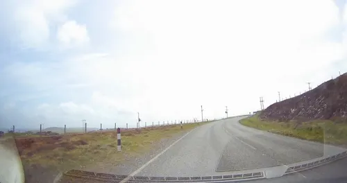

Forsan
Waterfall · 3.1 mi
Waterfall on the Burn of Mail, South Mainland, Shetland Islands, Scotland, UK

Museums and landmarks3
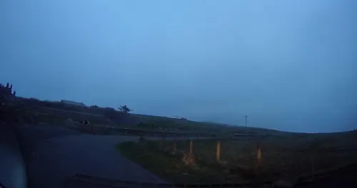

Catpund
Monument and historic site · 1.8 mi
Archaeological site in Shetland Islands, Scotland, UK
Parks, trails and playgrounds2
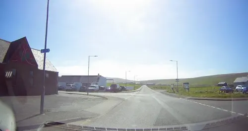

Restaurants and cafes1
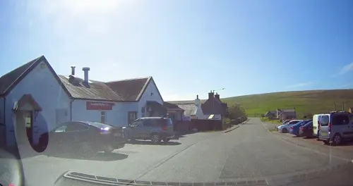
Where to stay1
Churches and places of worship1
Schools, colleges and libraries1
Map of Sandwick
12 places. The map loads OpenStreetMap tiles when you open it.
Getting there and nearby towns
Sumburgh Airport (LSI) is the nearest airport with scheduled flights listed in OpenStreetMap, 9 miles away.
- Scalloway 10 mi north, about 15 min by car
- Lerwick 11 mi north, about 18 min by car
- Symbister 25 mi north, about 40 min by car
- Brae 28 mi north, about 44 min by car
Drive times are estimates from straight-line distance, not routes.
Keep exploring
Local news
Headlines from INDB.
Reviews, tips and questions
Loading what members have shared...
Sources and licences
- GeoNames (CC BY 4.0): population, coordinates, regions and time zone
- Mapillary (see each image): photos
- OpenStreetMap contributors (ODbL 1.0): places, airports, map data
- Wikidata (CC0 1.0): elevation, founding date, time zone, website, landmarks and historic places
- Wikipedia (CC BY-SA 4.0): overview and history text
Photo credits
- Street-level photo, tallguy, CC BY-SA 4.0
- Street-level photo, tallguy, CC BY-SA 4.0
- Street-level photo, tallguy, CC BY-SA 4.0
- Street-level photo, tallguy, CC BY-SA 4.0
Page built November 10, 2026. Spotted a mistake? Tell us or suggest a place.