

Strabane, United Kingdom
Strabane is a town of 14,198 people in Northern Ireland, United Kingdom.
Why visit Strabane
Townapedia lists 9 museums and landmarks, 3 parks and trails, 36 places to eat, 1 place to stay and 3 attractions in and around town.
Highlights include Alley Theatre, Lifford Bridge, Gray Printer and Battle of Knockavoe Battlefield.
Weather in Strabane
Forecast from MET Norway (CC BY 4.0). Full forecast
About Strabane
Strabane (; from Irish An Srath Bán, meaning 'the white river-holm') is a town in County Tyrone, Northern Ireland.
From the Wikipedia article Strabane (this version), under CC BY-SA 4.0.
Travel tips from other travellers: Strabane on Wikivoyage (CC BY-SA 4.0).
Things to do3
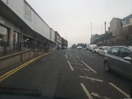
Alley Theatre
Cinema and theater
Theatre in Strabane, County Tyrone, Northern Ireland, United Kingdom
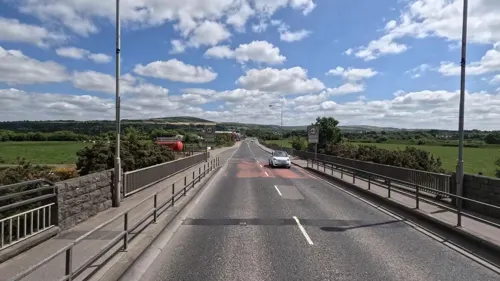

Museums and landmarks9

Parks, trails and playgrounds3



Restaurants and cafes36
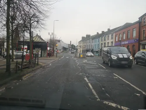
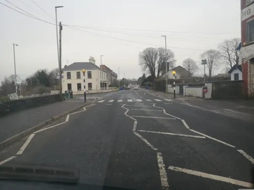
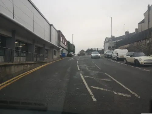
Paddy Mac's
Bar and pub · 0.4 mi
45-47 Abercorn Square
11:00-01:00
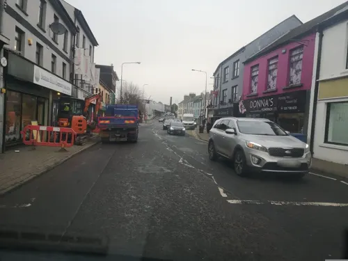
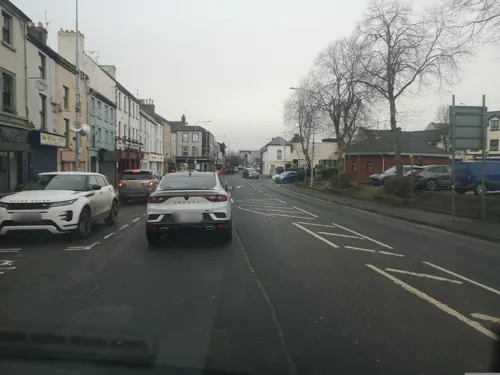


Caffè Nero
Cafe · Coffee Shop
73 Main Street
Mo-Th 07:30-18:00; Fr 07:30-18:30; Sa 08:00-18:30; Su 09:30-18:00

24 more on the map.
History
The locale was home to a group of northern Celts known as the Orighella as far back as the fourth century when the territories of Owen (later Tír Eoghain) and Connail (later Tír Chonaill - mostly modern County Donegal) were established, and Orighella were assimilated into the Cenél Conaill. With the arrival of Saint Patrick, a mission established a church in the area near Castlefin, and having visited the Grianán Aileach for the conversion of Owen, returned along the Foyle river, establishing a further church at Leckpatrick (the name means 'the flagstone of St. Patrick'). A later church was established at Lifford/Clonleigh by a mission headed by St. Colmcille. In AD 586 St. Colgan established a monastery at Camus [from whence the parish of Camus-Juxta-Mourne gets its name]. Other monasteries and religious sites were established at this time at Urney, Ballycolman, Donagheady, and Artigarvan.
Read more of the history
Vikings arrived at Lifford in AD 832 and maintained a presence on the Foyle until AD 863 when they were expelled by Áed Findliath. The regional seat of power was to be the Grianán Aileach until 1101, when it was destroyed by the O'Briens of Thomond, and was then moved to Urney, three miles outside Strabane. In 1243, the seat of power for all Tyrone and the O'Neill dynasty was moved to Cookstown. It was during this epoch, in AD 1231, that Franciscan friars established a religious foundation on what is now the old graveyard at St. Patrick's Street, Strabane.
The town was settled by Scottish families in the 1600s, an action that preceded the Plantation of Ulster. In 1608, during O'Doherty's Rebellion, most of the inhabitants fled to the safety of the fort of Lifford following Sir Cahir O'Doherty's Burning of Derry and Burning of Strabane.
In 1921, Strabane became a border town following the partition of Ireland. Sitting directly astride the border, Strabane suffered extensive damage during the Troubles from the early 1970s: Strabane Town Hall was destroyed in a bomb attack in 1972. The damage continued throughout much of the 1990s, with bombings and shootings commonplace; Irish Republican paramilitary groups, mainly the Provisional Irish Republican Army, regularly attacked the town's British Army and Royal Ulster Constabulary (RUC) bases. Strabane was once the most bombed town in Europe in proportion to its size, and was the most bombed town in Northern Ireland.
Many civilians and members of the security forces were killed or injured in the area over the course of the Troubles. Many British Army regiments from England, Scotland and Wales served in Strabane at various times during the Troubles in the barracks at the locally named "Camel's hump" beside Lifford Bridge. As a result of the Good Friday Agreement, there is no longer any British Army presence in the town. Strabane became involved in the Ulster Project International, sending Catholic and Protestant teenagers to the United States for prejudice-reduction work.
At the height of The Troubles, Strabane garnered the dubious distinction of the highest unemployment rate in the industrial world. It is one of the most economically deprived towns in the United Kingdom. Huge economic damage occurred when much of the town centre flooded in 1987.
In August 2005, a Channel 4 television programme presented by property experts Kirstie Allsopp and Phil Spencer named Strabane the eighth-worst place to live in the UK, largely owing to unemployment. Strabane had been moved out of the top 20 in the 2007 edition.
As a result, the Strabane Community Unemployed Group was founded to find solutions to long-term unemployment and combat the causes of unemployment. Sister Mary Carmel Fanning, a retired Catholic girls school principal who had been awarded the MBE for her services to education in 1997, became a director of the group later that year.
From the History section of Strabane on Wikipedia, under CC BY-SA 4.0.
More about Strabane
Arts and culture
Strabane Cricket Club and Fox Lodge Cricket Club are members of the North West Senior League.
The town has three golf courses prominent among which is the 18-hole Strabane Golf Course.
Angling has historically been popular in the Strabane area. The town and immediate countryside is served by several rivers, with lough fishing at Moorlough and Lough Ash. Strabane is situated at the confluence of the rivers Mourne and Finn where they meet to form the Foyle. Strabane Glen, a steep wooded gorge adjacent to the town, is a designated ASSI (Area of Special Scientific Interest).
Strabane has an Irish-medium nursery, Naíscoil an tSratha Báin, which was founded in 1994, and a Gaelscoil (primary school).
A common greeting in Strabane and the wider North West is "Have ye any bars?" This means "What's the news?" or "What's the latest gossip?" This may derive from Irish, from the phrase "barr nuachta," meaning "titbit," referring to a tasty piece of news.
Education
There are a number of infant, primary and secondary schools in the Strabane area. The central location of the town allows parents the choice of schools in Derry, Omagh and Donegal.
There are two secondary schools in the town: Holy Cross College and Strabane Academy. Holy Cross College was created in 2003 with the amalgamation of Strabane's three Catholic post-primary schools, the Convent Grammar School, St Colman's High School and Our Lady of Mercy High School. The college had been operating across the three sites until its new £29 million building opened in September 2009, catering for 1,400 pupils. Holy Cross is a co-ed bilateral college, which means it offers grammar status education within an all-ability school. It is regarded as a "blueprint for the future of education in Northern Ireland" because it caters for both academic and vocational paths. The other secondary school is Strabane Academy which was formed in 2011 when Strabane Grammar School merged with Strabane High School.
The North West Regional College, which has campuses in Derry, Limavady as well as Strabane, offers a range of vocational and non-vocational courses for post 16 year olds.
From the Wikipedia article Strabane, under CC BY-SA 4.0.
Notable people from Strabane
 Ryan DolanIrish pop singerPhoto: Albin Olsson, CC BY-SA 3.0
 Guy CarletonGovernor of the Province of Quebec (1724-1808)Photo: Unknown author Unknown author, Public domain
 Paul BradyIrish musicianPhoto: Bryan Ledgard, CC BY 2.0
 Elizabeth, Countess de GramontBritish lady-in-waiting at the court of Louis XIV of France (1641–1708)Photo: Peter Lely, Public domain
 Rory PattersonNorthern Irish association football player (born 1984)Photo: Psychopiano © Alastair Adams 2008..., CC BY-SA 4.0
 Chipzelelectronic musician from Northern IrelandPhoto: Evo Flash, CC BY 2.0
 Lord Claud HamiltonBritish politician (1843-1925)Photo: Walter Stoneman, Public domain
- Brian O'NolanIrish writer (1911-1966)
- Annie Scott Dill MaunderBritish astronomer (1868-1947)
- James MacCullaghIrish mathematician (1809–1847)
- Margaret MeyerBritish mathematical-astronomer & academic (1862-1924)
- George SigersonIrish medical doctor and writer (1836-1925)


Born in Strabane, according to Wikidata (CC0). Each name links to its Wikipedia article.
Where to stay1
Churches and places of worship10
Shopping12
Gas and EV charging8
Circle K Express Lifford Letterkenny Rd
Gas station · 1.0 mi
Letterkenny Road, Lifford
Schools, colleges and libraries10
Holy Cross College
School · Roman Catholic · 0.7 mi
35 Melmount Road, Strabane
St Catherine's Primary School
School · Roman Catholic · 0.5 mi
2 Newtownkennedy Street, Strabane
St Mary's Primary School
School · Roman Catholic · 0.7 mi
45 Melmount Road, Strabane
North West Regional College (Strabane Campus)
School · 0.7 mi
39 Derry Road, Strabane
Healthcare7
Map of Strabane
99 places. The map loads OpenStreetMap tiles when you open it.
Getting there and nearby towns
City of Derry Airport (LDY) is the nearest airport with scheduled flights listed in OpenStreetMap, 19 miles away.
- Sion Mills 3 mi south, about 4 min by car
- Ballymagorry 3 mi northeast, about 5 min by car
- Newtownstewart 8 mi southeast, about 13 min by car
- Castlederg 9 mi southwest, about 15 min by car
- New Buildings 10 mi northeast, about 17 min by car
- Derry 14 mi northeast, about 22 min by car
- Omagh 17 mi southeast, about 27 min by car
- Eglinton 18 mi northeast, about 28 min by car
- Culmore 18 mi northeast, about 28 min by car
- Dromore 21 mi south, about 35 min by car
Drive times are estimates from straight-line distance, not routes.
Keep exploring
Local news
Headlines from INDB.
Reviews, tips and questions
Loading what members have shared...
Sources and licences
- GeoNames (CC BY 4.0): population, coordinates, regions and time zone
- Mapillary (see each image): photos
- OpenStreetMap contributors (ODbL 1.0): places, airports, map data
- Wikidata (CC0 1.0): elevation, founding date, time zone, website, landmarks and historic places
- Wikimedia Commons (see each image): photos
- Wikipedia (CC BY-SA 4.0): overview and history text
Photo credits
- Christ Church, Strabane (01), January 2010, Ardfern, CC BY-SA 3.0
- Street-level photo, g360tours, CC BY-SA 4.0
- Street-level photo, g360tours, CC BY-SA 4.0
- Street-level photo, g360tours, CC BY-SA 4.0
- Street-level photo, tshedy, CC BY-SA 4.0
- Street-level photo, bct, CC BY-SA 4.0
- Street-level photo, g360tours, CC BY-SA 4.0
- Street-level photo, g360tours, CC BY-SA 4.0
- Street-level photo, g360tours, CC BY-SA 4.0
- Street-level photo, bct, CC BY-SA 4.0
- Street-level photo, g360tours, CC BY-SA 4.0
- Street-level photo, g360tours, CC BY-SA 4.0
- Street-level photo, g360tours, CC BY-SA 4.0
- Street-level photo, g360tours, CC BY-SA 4.0
- Street-level photo, g360tours, CC BY-SA 4.0
- Street-level photo, g360tours, CC BY-SA 4.0
- Street-level photo, g360tours, CC BY-SA 4.0
- Street-level photo, g360tours, CC BY-SA 4.0
- Street-level photo, g360tours, CC BY-SA 4.0
- Street-level photo, bct, CC BY-SA 4.0
Page built November 10, 2026. Spotted a mistake? Tell us or suggest a place.