


Workington, United Kingdom
Workington is a town of 21,275 people in England, United Kingdom.
Why visit Workington
Townapedia lists 5 museums and landmarks, 4 parks and trails, 70 places to eat, 9 places to stay and 6 attractions in and around town.
Highlights include Carnegie Theatre and Arts Centre, Theatre Royal, Helena Thompson Museum and Workington Hall.
Weather in Workington
Forecast from MET Norway (CC BY 4.0). Full forecast
About Workington
Workington is a coastal port town and civil parish in the Cumberland district of Cumbria, England. The town is at the mouth of the River Derwent on the west coast, 32 miles (51 km) south-west of Carlisle and 8 miles (13 km) north-east of Whitehaven. At the 2021 census the parish had a population of 25,448 and the built up area had a population of 21,275.
From the Wikipedia article Workington (this version), under CC BY-SA 4.0.
Travel tips from other travellers: Workington on Wikivoyage (CC BY-SA 4.0).
Photos of Workington

Things to do6

Carnegie Theatre and Arts Centre
Cinema and theater
Theatre and arts centre in Workington, Cumbria, England, UK
Finkle Street, Workington
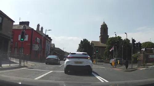


Workington Opera House
Cinema and theater
Former theatre, then bingo hall in Workington, England


Museums and landmarks5
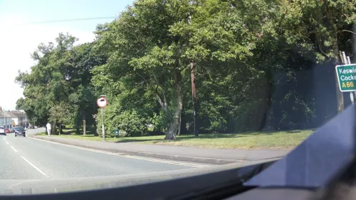

Billy Bumley's
Monument and historic site · 1.2 mi
Believed to be an old Navigation aid for ships entering the port. This is the only remaining of at least two in this area.
Parks, trails and playgrounds4




Restaurants and cafes70
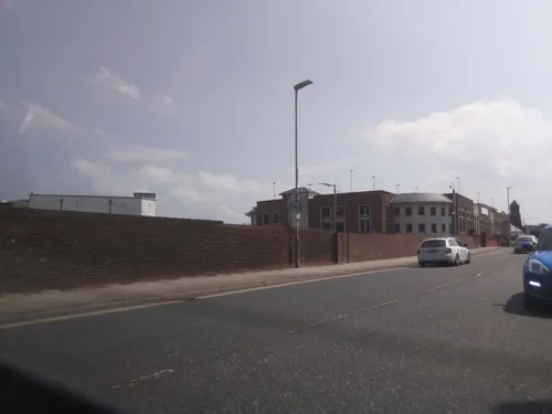
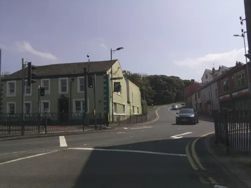
Delicious
Restaurant
1 Wilson Street, Workington
Mo-Su 12:00-23:00
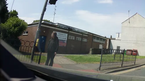






Regent Court Chinese Restaurant
Restaurant · Chinese
Oxford Street, Workington
58 more on the map.
History
Between 79 and 122 CE, Roman forts, mile-forts and watchtowers were built along the Cumbrian coast, as defences against attacks by the Scoti of Ireland and the Caledonii, the most powerful tribe in what is now Scotland. The 16th century Britannia, written by William Camden, describes ruins of these defences.
A Viking sword was discovered at Northside. This is seen to suggest there was a settlement at the river mouth.
St Michael's Church stands near the south bank of the Derwent. Parts of the building date back to the 12th century. Workington Hall, now in ruins, was built in the mid-14th century as a peel tower (fortified house) and subsequently extended over many years as the seat of the lord of the manor.
The town developed as a port on the south bank of the Derwent. In the Industrial Revolution, the town became a centre for iron and steel production. The population in the 1841 census was 4,045 inhabitants. Workington railway station opened in 1845 on the Whitehaven Junction Railway.
Several bridges were damaged or destroyed by the River Derwent during the 2009 Workington floods.
In 2006, Washington Square, a £50 million shopping centre and mixed-use complex, was opened to replace the run-down St John's Arcade, built in the 1960s and 1970s. In 2007, the Royal Institution of Chartered Surveyors named Washington Square the "best commercial project" in North West England.
Read more of the history
The Grilles architectural metalwork at Central Car Park by Tom Lomax in association with pupils from St Patrick's Primary School and Alan Dawson.
Central Way public toilets with tiles designed in collaboration by ceramic artist Paul Scott and writer Robert Drake, in addition to a fish tank containing species from the Solway provided by the Lake District Coast Aquarium in Maryport by Paul Scott and Robert Drake
Lookout Clock, an interactive town clock designed by Andy Plant and Matt Wand
While efforts have been made to find local names for the major streets of the new shopping centre, the initial planning title of Washington Square has been retained.
In February 2019 plans for a new stadium for Workington were announced. This would in involve the demolition of Borough Park and Derwent Park.
In June 2019, it was announced by the new leadership of Allerdale Borough Council that a new sports stadium would not be built.
A plan to build a 92,900 sq ft (8,630 m2) Tesco Extra store on the Cloffocks provoked controversy and opposition from local people; a planning application was placed in 2006 by Tesco, after it acquired the Cloffocks site for £18 million; Tesco had been competing with Asda for the site since 2003. Campaigners opposed the sale, stating that the land was common ground and belonged to the people of Workington. In 2010 the Countess of Lonsdale invoked her rights to mine the land, in an attempt to prevent the development. In 2011 a closed meeting of Allerdale councillors discussed the sale of the site, but the council rescinded on its decision to sell it to Tesco in June 2011. Tesco stated that it was still seeking a site for a store of 60,000 sq ft (5,600 m2) around Workington to replace the established one.
From the History section of Workington on Wikipedia, under CC BY-SA 4.0.
More about Workington
Geography
Workington lies astride the River Derwent, on the West Cumbrian coastal plain. It is bounded to the west by the Solway Firth, part of the Irish Sea, and to the east by the Lake District.
The town has various districts, many of them established as housing estates. North of the river these include Seaton, Barepot, Northside, Port and Oldside. On the south side are the districts of Stainburn, Derwent Howe, Ashfield, Banklands, Frostoms (Annie Pit), Mossbay, Moorclose, Salterbeck, Bridgefoot, Lillyhall, Harrington, High Harrington, Clay Flatts, Kerry Park, Westfield and Great Clifton. The Marsh and Quay, a large working-class area of the town around the docks and a major part of the town's history, was demolished in the early 1980s. Much of its former area is now covered by Clay Flatts Industrial Estate.
Economy
The Cumbria iron-ore field lies to the south of Workington, and produced extremely high grade phosphorus-free haematite. The area had a long tradition of iron smelting, but this became particularly important with the invention by Sir Henry Bessemer of the Bessemer process, the first process for mass production of mild steel, which previously had been an expensive specialist product. For the first 25 years of the process, until Gilchrist and Thomas improved upon it, phosphorus-free haematite was required. With Cumbria as the world's premier source, and the local coalfield providing energy for steel production, the world's first large-scale steelworks was opened in the Moss Bay area of the town. The Bessemer converter continued to work until July 1974. The Moss Bay Steelworks closed in 1982, despite receiving notable infrastructural investment and improvement almost immediately before the closure.
During the Second World War, a strategically important electric steel furnace which produced steel for aircraft engine ball bearings was moved to Workington from Norway to prevent it falling into Axis hands.
From the Wikipedia article Workington, under CC BY-SA 4.0.
Notable people from Workington
 Tom IredaleBritish ornithologist and malacologist (1880–1972)Photo: Unknown author Unknown author, Public domain
 Troy DonockleyEnglish composer and multi-instrumentalistPhoto: Selbymay, CC BY 4.0
 Mark CuetoEnglish rugby union footballerPhoto: Charlie from UK, CC BY 2.0
 Damien MooreBritish politician (born 1980)Photo: Roger Harris, CC BY 3.0
 Paul WorkmanbiologistPhoto: Duncan.Hull, CC BY-SA 4.0
 Ricky LightfootBritish ultramarathon runnerPhoto: Paul dobson from ENGLAND, CC BY 2.0
- Scott Dobieassociation football player (born 1978)
- John BurridgeEnglish footballer and manager (born 1951)
- Tony Cunningham (politician)British politician (born 1952)
- Stanley KaneEnglish footballer (born 1912)
- George Corrieprofessional footballer (born 1973)
- Alan TarneyBritish record producer


Born in Workington, according to Wikidata (CC0). Each name links to its Wikipedia article.
Where to stay9
Churches and places of worship13
Shopping16
Gas and EV charging2
Schools, colleges and libraries13
Healthcare5
Pro Active - Sports Injury
Clinic and pharmacy · 0.4 mi
53 Oxford Street, Workington
Map of Workington
143 places. The map loads OpenStreetMap tiles when you open it.
Getting there and nearby towns
Carlisle Lake District Airport (CAX) is the nearest airport with scheduled flights listed in OpenStreetMap, 35 miles away.
- Distington 3 mi south, about 5 min by car
- Flimby 3 mi north, about 5 min by car
- Broughton Moor 4 mi northeast, about 7 min by car
- Lowca 4 mi south, about 7 min by car
- Maryport 5 mi north, about 9 min by car
- Brigham 5 mi east, about 8 min by car
- Dearham 6 mi northeast, about 10 min by car
- Whitehaven 7 mi south, about 11 min by car
- Cockermouth 7 mi east, about 12 min by car
- Arlecdon 7 mi southeast, about 11 min by car
Drive times are estimates from straight-line distance, not routes.
Keep exploring
Local news
Headlines from INDB.
Reviews, tips and questions
Loading what members have shared...
Sources and licences
- GeoNames (CC BY 4.0): population, coordinates, regions and time zone
- Mapillary (see each image): photos
- OpenStreetMap contributors (ODbL 1.0): places, airports, map data
- Wikidata (CC0 1.0): elevation, founding date, time zone, website, landmarks and historic places
- Wikimedia Commons (see each image): photos
- Wikipedia (CC BY-SA 4.0): overview and history text
Photo credits
- WorkingtonClock, Mikeca142007, Public domain
- Army Bridge Mill Field on 3rd December, 2009 (photo - Andy V Byers), Andy_V_Byers ( talk ) ( Uploads ), CC BY 3.0
- Operahouse2010, Lfc-forum, CC0
- St Peters church Camerton, PC Bloke 1971 at English Wikipedia, CC BY 3.0
- Scotland v Italy 2013 RLWC (Derwent Park 3), Michael Holdsworth, CC BY 2.0
- Stainburnex, Lfc-forum, CC BY 3.0
- St Joseph School-1, User:Andy V Byers, CC BY-SA 3.0
- Carnegie Theatre and Arts Centre Workington, Northernhenge, CC0
- Brothers by Robert Henderson (c.1890) (36960690742), pellethepoet from Sydney, Australia, CC BY 2.0
- Street-level photo, southglos, CC BY-SA 4.0
- Street-level photo, southglos, CC BY-SA 4.0
- Street-level photo, southglos, CC BY-SA 4.0
- Street-level photo, southglos, CC BY-SA 4.0
- Street-level photo, southglos, CC BY-SA 4.0
- Street-level photo, southglos, CC BY-SA 4.0
- Street-level photo, southglos, CC BY-SA 4.0
- Street-level photo, southglos, CC BY-SA 4.0
- Street-level photo, southglos, CC BY-SA 4.0
- Street-level photo, southglos, CC BY-SA 4.0
- Street-level photo, southglos, CC BY-SA 4.0
- Street-level photo, southglos, CC BY-SA 4.0
- Street-level photo, southglos, CC BY-SA 4.0
- Street-level photo, southglos, CC BY-SA 4.0
- Street-level photo, southglos, CC BY-SA 4.0
- Street-level photo, southglos, CC BY-SA 4.0
- Street-level photo, southglos, CC BY-SA 4.0

Page built November 10, 2026. Spotted a mistake? Tell us or suggest a place.