



Why visit Mapusa
Townapedia lists 18 museums and landmarks, 18 parks and trails, 207 places to eat, 21 places to stay and 6 attractions in and around town.
Highlights include Dr. Ram Manohar Lohia Garden and Duler Football Stadium.
Weather in Mapusa
Forecast from MET Norway (CC BY 4.0). Full forecast
About Mapusa
Mapusa (Goan Konkani: Mhapxem) is a city in North Goa, India. It is situated 13 km north of the state capital of Panaji. The city is the headquarters of Bardez taluka. During Portuguese India, the city was known as "Mapuçá".
From the Wikipedia article Mapusa (this version), under CC BY-SA 4.0.
Travel tips from other travellers: Mapusa on Wikivoyage (CC BY-SA 4.0).
Things to do6



Museums and landmarks18

6 more on the map.
Parks, trails and playgrounds18



6 more on the map.
Restaurants and cafes207

Bawri
Restaurant · Indian · 2.3 km
House No. 3 Survey no. 161/11, Saunta Vaddo, Assagao, Bardez, Goa, Assagaon


195 more on the map.
History
Mapusa is a small city clustered around the Mount (Alto). The name Mapusa is thought to be derived from the Konkani word for a 'measure' - 'map' and the phrase fill up - 'sa'. Ancient Goan agrarian community had a well established Gaunkari or Community Farming System, where villages formed associations, worked on community land and shared profits. Market day was a major event, with goods brought in from every district to one central area. Mapusa has thus remained a prominent market center for many centuries.
From the History section of Mapusa on Wikipedia, under CC BY-SA 4.0.
Where to stay21
Churches and places of worship88
Shopping73
Gas and EV charging6
HP Petrol Pump - Raj Fuels
Gas station · 2.3 km
Opposite Omkar Devasthan P.t.sh.no.10, Chalta NO.21C, Cunchelim, Mapusa,, Shree Ganeshpuri, Vasco da
Schools, colleges and libraries29
Healthcare53
Dr. Kolwalkar's Galaxy Hospital
Hospital · 1.7 km
Mapusa-Duler-Camurlim Road, Mapusa
Map of Mapusa
250 places. The map loads OpenStreetMap tiles when you open it.
Getting there and nearby towns
Manohar International Airport (GOX) is the nearest airport with scheduled flights listed in OpenStreetMap, 17 km away.
- Guirim 2 km south, about 2 min by car
- Solim 5 km northwest, about 5 min by car
- Serula 6 km southeast, about 6 min by car
- Panjim 11 km south, about 11 min by car
- Taleigao 14 km south, about 14 min by car
- Sāvantvādi 35 km north, about 35 min by car
- Raia 36 km southeast, about 36 min by car
- Navelim 41 km southeast, about 41 min by car
- Canacona 71 km south, about 1 h 15 min by car
- Belagavi 80 km east, about 1 h 15 min by car
Drive times are estimates from straight-line distance, not routes.
Local news
Headlines from INDB.
Reviews, tips and questions
Loading what members have shared...
Sources and licences
- GeoNames (CC BY 4.0): population, coordinates, regions and time zone
- OpenStreetMap contributors (ODbL 1.0): places, airports, map data
- Wikidata (CC0 1.0): elevation, founding date, time zone, website, landmarks and historic places
- Wikimedia Commons (see each image): photos
- Wikipedia (CC BY-SA 4.0): overview and history text
Photo credits
- St. Michael's church facade from statue, Sarah Bremer, CC BY-SA 4.0
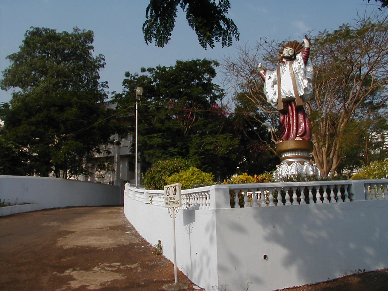
- India Goa St Xaviers College Mapusa 1, No machine-readable author provided. Fredericknoronha assumed (based on copyright claims)., CC BY-SA 3.0
Page built November 3, 2026. Spotted a mistake? Tell us or suggest a place.