



Panayāttur Vadakkumbhāgam, India
Panayāttur Vadakkumbhāgam is a town of 25,607 people in Kerala, India.
Why visit Panayāttur Vadakkumbhāgam
Townapedia lists 4 museums and landmarks, 10 parks and trails, 7 places to eat and 9 places to stay in and around town.
Highlights include Perumon Tragedy Memorial.
Weather in Panayāttur Vadakkumbhāgam
Forecast from MET Norway (CC BY 4.0). Full forecast
Museums and landmarks4



Parks, trails and playgrounds10



Restaurants and cafes7




Malabar Food Products
Fast food · 2.4 km
Malabar food products Naduvilacherry, Kollam
Where to stay9

Keraleeyam Janakeeya Hotel Perinad
Motel and hotel · 2.2 km
JH ,Perinad CDS,Perinad PO, Kollam
Churches and places of worship29
St. Joseph's Roman catholic church, Perumon Mundackal
Church · Catholic · 1.0 km
Shopping3
Schools, colleges and libraries23
Inchavila Government Lower Primary School Perinad
School · 1.4 km
Perumon Road, Kollam
Sree Narayana Vocational Higher Secondary School Thrikaravua
School · 2.0 km
Prakulam Road, Kollam
Healthcare5
Map of Panayāttur Vadakkumbhāgam
90 places. The map loads OpenStreetMap tiles when you open it.
Getting there and nearby towns
Thiruvananthapuram International Airport (TRV) is the nearest airport with scheduled flights listed in OpenStreetMap, 62 km away.
- Chavara 9 km west, about 9 min by car
- Kollam 9 km southwest, about 9 min by car
- Paravūr Tekkumbhāgam 19 km south, about 19 min by car
- Adūr 26 km northeast, about 26 min by car
- Kattanam 25 km north, about 25 min by car
- Varkala 27 km southeast, about 27 min by car
- Kayamkulam 28 km northwest, about 28 min by car
- Vettūr 29 km southeast, about 29 min by car
- Punalūr 34 km east, about 34 min by car
- Kadakkavoor 35 km southeast, about 35 min by car
Drive times are estimates from straight-line distance, not routes.
Local news
Headlines from INDB.
Reviews, tips and questions
Loading what members have shared...
Sources and licences
- GeoNames (CC BY 4.0): population, coordinates, regions and time zone
- OpenStreetMap contributors (ODbL 1.0): places, airports, map data
- Wikidata (CC0 1.0): elevation, founding date, time zone, website, landmarks and historic places
- Wikimedia Commons (see each image): photos
Photo credits
- Front Wide Dutch Church Kollam Kerala Mar22 A7C 01539, This Photo was taken by Timothy A. Gonsalves . Feel free to use my photos, but please mention me as the author. I would much appreciate if you send me an email [email protected] or write on my talk..., CC BY-SA 4.0
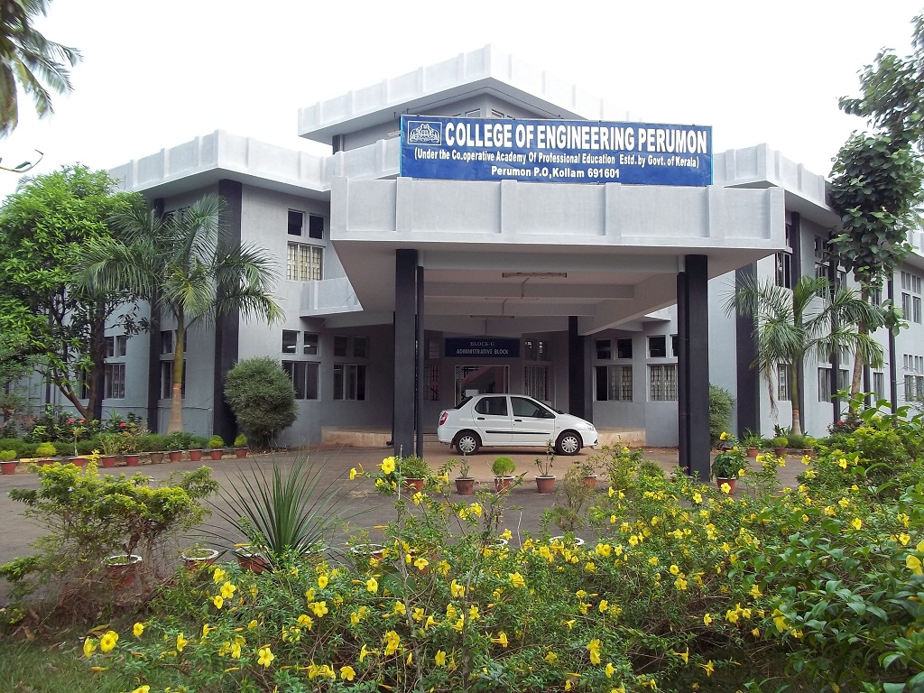
- PerumonEngineeringCollege, ceperumon, CC BY-SA 3.0
- Peruman railway accident memorial monument, Sailesh, CC BY-SA 3.0
- Kallada river - panoramio (1), Suresh Babunair, CC BY 3.0
- തോറ്റംപാട്ട് അനുഷ്ഠാനം, Cappy6160, CC BY-SA 4.0
- EnggCollegePerumon, Ambrosmach, CC BY-SA 3.0
- Munroe island Railway Bridge, Kondephy, CC BY-SA 4.0

Page built November 3, 2026. Spotted a mistake? Tell us or suggest a place.