


Bandar-e Lāft, Iran
بندر لافت
Bandar-e Lāft is a town of 4,668 people in Hormozgan, Iran.
Why visit Bandar-e Lāft
Townapedia lists 2 museums and landmarks, 1 park or trail, 3 places to eat and 2 places to stay in and around town.
Weather in Bandar-e Lāft
Forecast from MET Norway (CC BY 4.0). Full forecast
About Bandar-e Lāft
Laft (Persian: لافت) is a city in the Central District of Qeshm County, Hormozgan province, Iran. Laft is more than 2,000 years old. It is on Qeshm Island in the Straits of Hormuz, to the southwest of Bandar Abbas.
From the Wikipedia article Laft (this version), under CC BY-SA 4.0.
Museums and landmarks2
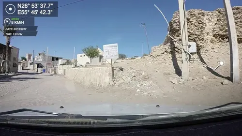

Parks, trails and playgrounds1

Restaurants and cafes3
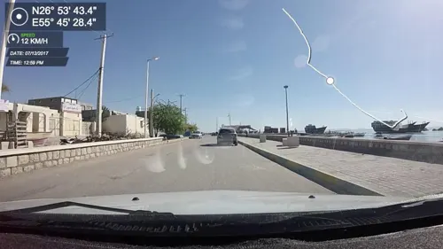
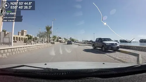

قهوه خانه
Cafe
Два на два метра. Если есть угроза от голодной смерти, то можно здесь съесть рыбу местного отлова
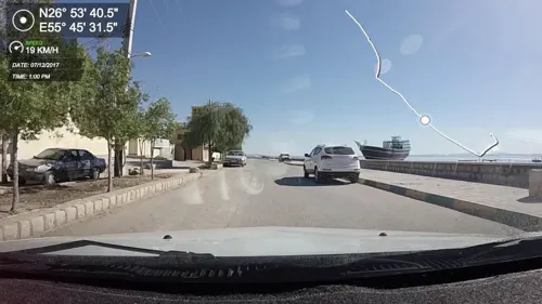
Where to stay2



Churches and places of worship1
Map of Bandar-e Lāft
9 places. The map loads OpenStreetMap tiles when you open it.
Getting there and nearby towns
Qeshm International Airport (GSM) is the nearest airport with scheduled flights listed in OpenStreetMap, 21 km away.
- Pol-e Sharqī 13 km north, about 13 min by car
- Ţabl 16 km south, about 16 min by car
- Pey Posht 17 km east, about 17 min by car
- Bandar-e Khamīr 18 km west, about 18 min by car
- Tombān 18 km southeast, about 18 min by car
- Zeynabī 20 km east, about 20 min by car
- Dūrbīnī 20 km southwest, about 20 min by car
- Qeshm 51 km east, about 51 min by car
- Bandar Abbas 61 km northeast, about 1 h by car
- Hormoz 72 km east, about 1 h 15 min by car
Drive times are estimates from straight-line distance, not routes.
Local news
Headlines from INDB.
Reviews, tips and questions
Loading what members have shared...
Sources and licences
- GeoNames (CC BY 4.0): population, coordinates, regions and time zone
- Mapillary (see each image): photos
- OpenStreetMap contributors (ODbL 1.0): places, airports, map data
- Wikidata (CC0 1.0): elevation, founding date, time zone, website
- Wikimedia Commons (see each image): photos
- Wikipedia (CC BY-SA 4.0): overview and history text
Photo credits
- Laft 20170422 17, Farhad Safari, CC BY 4.0
- Laft Lenj Sunset, Karthoo, CC BY 4.0
- شهرداری و شورای شهر لافت, EhsanLegzian, CC BY-SA 4.0
- سیلوئت بندر لافت, EhsanLegzian, CC BY-SA 4.0
- لافت جزیره قشم - panoramio, auoob farabi, CC BY-SA 3.0
- جزیره قشم مسجد علی بن ابیطالب - panoramio (cropped), auoob farabi, CC BY-SA 3.0
- جزیره قشم مسجد علی بن ابیطالب - panoramio, auoob farabi, CC BY-SA 3.0
- ماهیگیر لافت1, Mohammad Eajazi (Soorsheen), CC BY-SA 4.0
- بافت تاریخی لافت4, Mohammad Eajazi (Soorsheen), CC BY-SA 4.0
- Heritage district of Laft - 1, ImanFakhri, CC BY-SA 4.0
- بافت تاریخی لافت1, Mohammad Eajazi (Soorsheen), CC BY-SA 4.0
- بافت تاریخی لافت2, Mohammad Eajazi (Soorsheen), CC BY-SA 4.0
- Dr Ahmad Nadalian House Laft, Ahmad.nadalian, CC BY-SA 4.0
- Heritage district of Laft - 2, ImanFakhri, CC BY-SA 4.0
- جزیره قشم - panoramio (2), auoob farabi, CC BY-SA 3.0
- بافت تاریخی لافت3, Mohammad Eajazi (Soorsheen), CC BY-SA 4.0
- بندر تاریخی لافت, Bahman nori, CC BY-SA 4.0
- لافت۲۰۲۶, Bahman nori, CC BY-SA 4.0
- Heritage district of Laft - 7, ImanFakhri, CC BY-SA 4.0
- Heritage district of Laft - 6, ImanFakhri, CC BY-SA 4.0
- Heritage district of Laft - 5, ImanFakhri, CC BY-SA 4.0
- Heritage district of Laft - 4, ImanFakhri, CC BY-SA 4.0
- بادگیرهای بافت قدیم لافت, EhsanLegzian, CC BY-SA 4.0
- روستای لافت سال 96, Syektaie, CC BY-SA 4.0
- چاه تلا, Mohammad Eajazi (Soorsheen), CC BY-SA 4.0
- چاه تلا لافت, Bahman nori, CC BY-SA 4.0
- چاه تلا لافت۲, Bahman nori, CC BY-SA 4.0
- قلعه لافت, Bahman nori, CC BY-SA 4.0
- چاه تلا لافت۱, Bahman nori, CC BY-SA 4.0
- Iran (5532121876), Ninara from Helsinki, Finland, CC BY 2.0
- لافت و بچه های هنرهای زیبا, Syektaie, CC BY-SA 4.0
- Street-level photo, edi21881, CC BY-SA 4.0
- Street-level photo, edi21881, CC BY-SA 4.0
- Street-level photo, edi21881, CC BY-SA 4.0
- Street-level photo, edi21881, CC BY-SA 4.0
- Street-level photo, edi21881, CC BY-SA 4.0


Page built November 8, 2026. Spotted a mistake? Tell us or suggest a place.