



Why visit Choghāmīsh
Townapedia lists 4 museums and landmarks in and around town.
Highlights include Chogha Bonut and تپه باستانی چغامیش.
Weather in Choghāmīsh
Forecast from MET Norway (CC BY 4.0). Full forecast
About Choghāmīsh
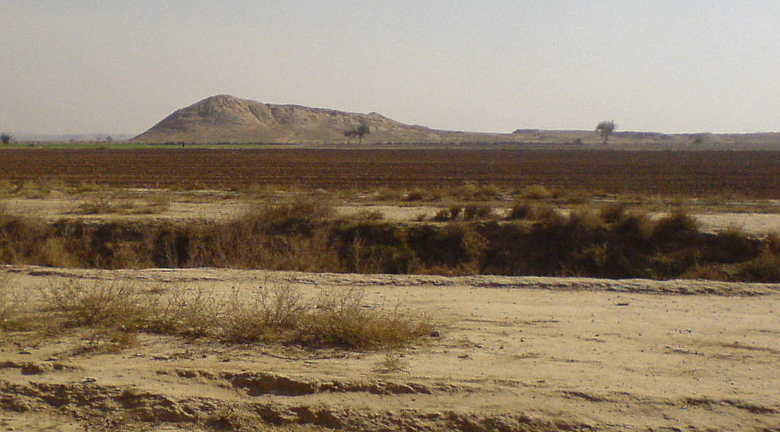
Choghā Mīsh (also Chogā Mīsh) (Persian: چغامیش, romanized: čoġā mīš) dating back to about 6800 BC, is the site of a Chalcolithic settlement located in the Khuzistan Province Iran on the eastern Susiana Plain. It was occupied at the beginning of 6800 BC and continuously from the Neolithic up to the Proto-Literate period (Uruk period), thus spanning the time periods from Archaic (7th millennium BC) through Proto-Elamite period (about 3100 BC to 2700 BC). After the decline of the site about 4400 BC, the nearby Susa, on the western Susiana Plain, became culturally dominant in this area. Chogha Mish is located just to the east of Dez River, and about 25 kilometers to the east from the ancient Susa.
From the Wikipedia article Chogha Mish (this version), under CC BY-SA 4.0.
Museums and landmarks4

Chogha Bonut
Monument and historic site · 4.1 km
Iranian national heritage site
History
The site was lightly occupied beginning in the Archaic Susiana period, roughly the middle of the 6th millennium BC and into the following Middle Susiana period. It grew into its maximum size of 17 hectares in the Late Susiana period, roughly at the beginning of the 5th millennium BC. In the early half of the fifth millennium BC, the Chogha Mish main monumental building was destroyed. This became known as the 'Burnt Building'. This destruction of Chogha Mish also coincided with the abandonment of some other sites on the eastern part of the Susiana plain. The settlements of the subsequent period shifted more to the west, especially with the founding and rise of the city of Susa. The monumental buildings in Susa were then themselves destroyed around 4200 BC. The new pottery associated with this period was of the Late Susiana 1 type, featuring the 'dot motif'. By the Early Dynastic period in Mesopotamia the site was unoccupied. Occupation resumed in the early 2nd millennium BC during the Sukkalmah Dynasty period at a lesser level with about one third of the site occupied, primarily a large fort.
Chogha Mish provides important evidence for early connections between Susiana and Mesopotamia. The discoveries at Chogha Mish show that the Early Susiana period was contemporary with the Ubaid 1 period of southern Mesopotamia and the Samarra period of central Mesopotamia.
From the History section of Chogha Mish on Wikipedia, under CC BY-SA 4.0.
Map of Choghāmīsh
4 places. The map loads OpenStreetMap tiles when you open it.
Getting there and nearby towns
Vahdati AFB (DEF) is the nearest airport with scheduled flights listed in OpenStreetMap, 29 km away.
- Shahrak-e Kheybar 7 km south, about 7 min by car
- Seyyed Nūr 9 km southwest, about 9 min by car
- Eslāmābād 11 km north, about 11 min by car
- Shahr-e Emām 11 km west, about 11 min by car
- Mīānrūd 12 km southwest, about 12 min by car
- Ṣāleḥ Shahr 12 km east, about 12 min by car
- Dezful 23 km northwest, about 23 min by car
- Andīmeshk 33 km northwest, about 33 min by car
- Shūshtar 34 km southeast, about 34 min by car
- Masjed Soleymān 78 km southeast, about 1 h 15 min by car
Drive times are estimates from straight-line distance, not routes.
Local news
Headlines from INDB.
Reviews, tips and questions
Loading what members have shared...
Sources and licences
- GeoNames (CC BY 4.0): population, coordinates, regions and time zone
- OpenStreetMap contributors (ODbL 1.0): places, airports, map data
- Wikidata (CC0 1.0): elevation, founding date, time zone, website, landmarks and historic places
- Wikimedia Commons (see each image): photos
- Wikipedia (CC BY-SA 4.0): overview and history text
Photo credits
- Choghamish, Motabassem . The original uploader was Motabassem at Persian Wikipedia ., Public domain
- Choghamish-edited, w:fa:Motabassem ( talk | contribs ), CC0
Page built November 8, 2026. Spotted a mistake? Tell us or suggest a place.