
Why visit Sūsangerd
Townapedia lists 1 museum or landmark, 10 parks and trails and 4 places to eat in and around town.
Weather in Sūsangerd
Forecast from MET Norway (CC BY 4.0). Full forecast
About Sūsangerd
Susangerd (Persian: سوسنگرد) is a city in the Central District of Dasht-e Azadegan County, Khuzestan province, Iran, serving as the capital of both the county and the district. The vast majority of its inhabitants are Khuzestani Arabs. Susangerd is considered among the famous cities of Iran due to the Iran–Iraq War and the city's liberation from the siege of Iraqi forces.
From the Wikipedia article Susangerd (this version), under CC BY-SA 4.0.
Museums and landmarks1

Parks, trails and playgrounds10

Restaurants and cafes4


Churches and places of worship3

History
In the past, the city of Susangerd was a village called Khafajieh and the area around it was called Dasht-e-Mishan. Later, during the reign of Reza Shah, this village was renamed to the city of Susangerd, which means the place of worship of Nahid in ancient Iran. Dasht-e-Mishan, the ancient name of the region, was changed to Dasht-e-Azadegan after the Islamic Revolution, meaning "Plain of the Free."
During the war, the Iraqi army tried three times to capture Susangerd, but the siege was met with resistance from the Iranian army and popular forces. In the third attack, the city was surrounded by the Iraqi army, but soon after, the Iraqis were defeated and Susangerd was liberated. Among the people who remained in the city were Azerbaijani fighters, which is why the city of Tabriz has a park named after Susangerd.
From the History section of Susangerd on Wikipedia, under CC BY-SA 4.0.
Gas and EV charging3
Schools, colleges and libraries6
Healthcare3
Map of Sūsangerd
30 places. The map loads OpenStreetMap tiles when you open it.
Getting there and nearby towns
General Soleimani International Airport (AWZ) is the nearest airport with scheduled flights listed in OpenStreetMap, 60 km away.
- Abū Ḩomeyz̧eh 5 km southeast, about 5 min by car
- Hoveyzeh 16 km southwest, about 16 min by car
- Ḥamīdiyeh 25 km east, about 25 min by car
- Bostān 26 km northwest, about 26 min by car
- Dehkadeh 28 km southeast, about 28 min by car
- ‘Abdol Khān-e Pā'īn 37 km northeast, about 37 min by car
- Elhāyī 40 km east, about 40 min by car
- Ahvaz 54 km southeast, about 54 min by car
- Shūshtar 82 km northeast, about 1 h 15 min by car
- Takht-e Qeyşar 85 km northeast, about 1 h 30 min by car
Drive times are estimates from straight-line distance, not routes.
Local news
Headlines from INDB.
Reviews, tips and questions
Loading what members have shared...
Sources and licences
- GeoNames (CC BY 4.0): population, coordinates, regions and time zone
- Mapillary (see each image): photos
- OpenStreetMap contributors (ODbL 1.0): places, airports, map data
- Wikidata (CC0 1.0): elevation, founding date, time zone, website
- Wikipedia (CC BY-SA 4.0): overview and history text
Photo credits
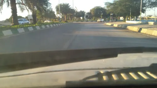
- Street-level photo, ayubalinejhad, CC BY-SA 4.0
Page built November 8, 2026. Spotted a mistake? Tell us or suggest a place.