


Loading the weather...
Population16,975
GeoNames
RegionShizuoka
Elevation2 m
7 ft
Time zoneAsia/Tokyo
Nearest airportShizuoka Airport (FSZ)
58 km
Why visit Arai
Townapedia lists 12 museums and landmarks, 11 parks and trails, 14 places to eat and 8 places to stay in and around town.
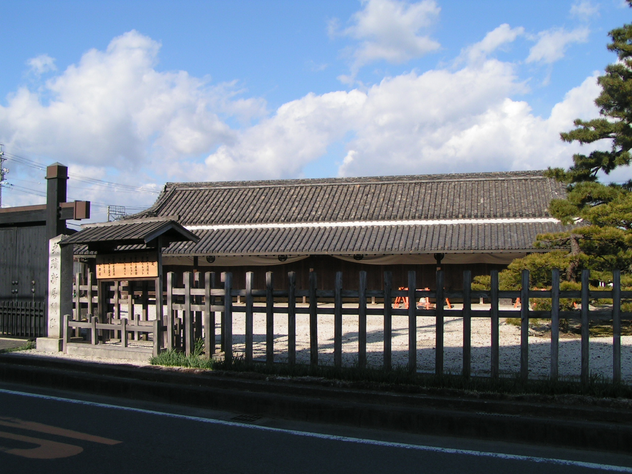
Highlights include 新居関所.
Weather in Arai
Forecast from MET Norway (CC BY 4.0). Full forecast
Museums and landmarks12




Parks, trails and playgrounds11





Restaurants and cafes14

料敬
Restaurant · 1.2 km
Mo-Su 11:00-14:00,17:00-22:00; We off; Tu[2] off

2 more on the map.
Advertisement
Where to stay8


Churches and places of worship15
Shopping4
Advertisement
Gas and EV charging1
Schools, colleges and libraries4
Healthcare1
Advertisement
Map of Arai
70 places. The map loads OpenStreetMap tiles when you open it.
Getting there and nearby towns
Shizuoka Airport (FSZ) is the nearest airport with scheduled flights listed in OpenStreetMap, 58 km away.
- Hamamatsu 15 km east, about 15 min by car
- Toyohashi 19 km northwest, about 19 min by car
- Toyokawa 21 km northwest, about 21 min by car
- Hamakita 24 km northeast, about 24 min by car
- Shinshiro 25 km north, about 25 min by car
- Iwata 26 km east, about 26 min by car
- Fukuroi 33 km east, about 33 min by car
- Gamagōri 35 km northwest, about 35 min by car
- Mori 37 km northeast, about 37 min by car
- Kakegawa 42 km east, about 42 min by car
Drive times are estimates from straight-line distance, not routes.
Local news
Headlines from INDB.
Reviews, tips and questions
Loading what members have shared...
Sources and licences
- GeoNames (CC BY 4.0): population, coordinates, regions and time zone
- OpenStreetMap contributors (ODbL 1.0): places, airports, map data
- Wikidata (CC0 1.0): elevation, founding date, time zone, website
- Wikimedia Commons (see each image): photos
Photo credits
- Arai- Esquina do SevenEleven - panoramio, renepaulo, CC BY-SA 3.0
- Marina em Arai - panoramio - renepaulo, renepaulo, CC BY-SA 3.0
- Marina em Arai - panoramio, renepaulo, CC BY-SA 3.0
- Barcos atracados- Arai - panoramio, renepaulo, CC BY-SA 3.0
- Route 1 Arai, Hosousu, CC BY 4.0
- JR Central Araimachi Station north side, Yasu ( talk ), CC BY-SA 3.0
- JR Central Araimachi Station north gate, Yasu ( talk ), CC BY-SA 3.0
- 54 Anodonta stearnsiana Arai Shizuoka, Ryuichiro Kasatani, CC0
- Arai - panoramio, abu_9495, CC BY 3.0
- Arai Checking Station, Yanajin33, CC BY-SA 3.0
- Arai - panoramio - renepaulo, renepaulo, CC BY-SA 3.0
- Araisekisho, A10ml at Japanese Wikipedia, Public domain
- Arai (5759536868), Utagawa Hiroshige, Public domain
- ShizuokaAraiHighSchool, Asasa198, CC BY-SA 3.0
- Fire-fighting-facility node-3910032802, licht1017, CC BY 2.0
- Fire-fighting-facility node-3910023016, licht1017, CC BY 2.0
- Fire-fighting-facility node-3910023017, licht1017, CC BY 2.0
- Fire-fighting-facility node-3910023003, licht1017, CC BY 2.0
- Fire-fighting-facility node-3910024217, licht1017, CC BY 2.0
- Fire-fighting-facility node-3910033734, licht1017, CC BY 2.0
- Fire-fighting-facility node-3910022711, licht1017, CC BY 2.0
- Fire-fighting-facility node-3910026753, licht1017, CC BY 2.0
- Fire-fighting-facility node-3910024687, licht1017, CC BY 2.0
- Fire-fighting-facility node-3910034930, licht1017, CC BY 2.0
- Fire-fighting-facility node-3812178250, LLC MapQuestSolutions LLC, CC BY 2.0
- Fire-fighting-facility node-3910039516, licht1017, CC BY 2.0
- Fire-fighting-facility node-3910028903, licht1017, CC BY 2.0
- 20241116 THE ROYAL EXPRESS, Tokyorailwayfan, CC BY-SA 4.0
- Fire-fighting-facility node-3910022260, licht1017, CC BY 2.0
- Kyu Komatsuro Honkan, Suikotei, CC BY 4.0
- Fire-fighting-facility node-3910020061, licht1017, CC BY 2.0
- Fire-fighting-facility node-3910035536, licht1017, CC BY 2.0
- Fire-fighting-facility node-3910004956, licht1017, CC BY 2.0
- Lake Hamanako from Shinkansen train, そらみみ, CC BY-SA 3.0
- Fire-fighting-facility node-3812178253, LLC MapQuestSolutions LLC, CC BY 2.0
- Fire-fighting-facility node-3910017657, licht1017, CC BY 2.0
- Fire-fighting-facility node-3910006249, licht1017, CC BY 2.0
- Fire-fighting-facility node-3910007068, licht1017, CC BY 2.0
- 浜名大橋02, Mikkabie, CC BY-SA 4.0
- Hamamatsu 20190904012152 (49843125232), inunami, CC BY 2.0


Page built November 5, 2026. Spotted a mistake? Tell us or suggest a place.