


Fujimi, Japan
富士見町
Fujimi is a town of 14,485 people in Nagano, Japan, founded in April 1, 1955.
Why visit Fujimi
Townapedia lists 49 museums and landmarks, 21 parks and trails, 58 places to eat, 23 places to stay and 13 attractions in and around town.
Highlights include たてしな自由農園, Fujimi Kougen Snow Resort, Akyū Site and Fujimi Panorama Resort.
Weather in Fujimi
Forecast from MET Norway (CC BY 4.0). Full forecast
About Fujimi
Fujimi (富士見町, Fujimi-machi) is a town located in Nagano Prefecture, Japan. As of 1 April 2019, the town had an estimated population of 14,485 in 5958 households, and a population density of 102 persons per km2. The total area of the town is 144.76 square kilometres (55.89 sq mi).
From the Wikipedia article Fujimi, Nagano (this version), under CC BY-SA 4.0.
Things to do13







1 more on the map.
Museums and landmarks49

Akyū Site
Monument and historic site · 8.9 km
Archaeological site in Hara, Nagano, Japan

Hirayama Ikuo Silk Road Museum
Museum · 10.1 km
Archaeology museum in Yamanashi , Japan

Idojiri Site
Monument and historic site · 3.6 km
Archaeological site in Fujimi, Nagano, Japan

Nakamura Keith Haring Collection
Museum · 6.3 km
Biographical museum in Japan

Togariishi Museum of Jōmon Archaeology
Museum · 12.6 km
Museum in Chino, Nagano Prefecture, Japan

37 more on the map.
Parks, trails and playgrounds21




9 more on the map.
Restaurants and cafes58




ロビン
Cafe · ジェラート · 7.8 km
10:00-18:00 7月中旬~8月 -21:00 定休日:火曜(祝日の場合は翌日、7月中旬~8月は無休)
一品香
Restaurant · Taiwanese · 5.1 km
11:00-14:30, 17:00-21:00; Tu off

Vegan bakery
Bakery · 6.4 km
Small entirely vegan bakery surrounded by a red pine forest.
Mo-Sa 09:00-17:00
46 more on the map.
History
The area of present-day Fujimi was part of ancient Shinano Province. Fujimi Village was established on April 1, 1889, with the establishment of the modern municipalities system. On April 1, 1995, Fujimi merged with the villages of Sakai, Hongo, and Ochiai to form the town of Fujimi.
From the History section of Fujimi, Nagano on Wikipedia, under CC BY-SA 4.0.
Where to stay23
Churches and places of worship13
Shopping5
Gas and EV charging7
Schools, colleges and libraries18
Healthcare5
Map of Fujimi
212 places. The map loads OpenStreetMap tiles when you open it.
Getting there and nearby towns
Shinshu-Matsumoto Airport (MMJ) is the nearest airport with scheduled flights listed in OpenStreetMap, 42 km away.
- Chino 14 km northwest, about 14 min by car
- Suwa 20 km northwest, about 20 min by car
- Shimosuwa 24 km northwest, about 24 min by car
- Tatsuno 25 km west, about 25 min by car
- Okaya 25 km northwest, about 25 min by car
- Ina 28 km west, about 28 min by car
- Komagane 35 km southwest, about 35 min by car
- Kofu 39 km southeast, about 39 min by car
- Saku 41 km northeast, about 41 min by car
- Matsumoto 45 km northwest, about 45 min by car
Drive times are estimates from straight-line distance, not routes.
Local news
Headlines from INDB.
Reviews, tips and questions
Loading what members have shared...
Sources and licences
- GeoNames (CC BY 4.0): population, coordinates, regions and time zone
- OpenStreetMap contributors (ODbL 1.0): places, airports, map data
- Wikidata (CC0 1.0): elevation, founding date, time zone, website, landmarks and historic places
- Wikimedia Commons (see each image): photos
- Wikipedia (CC BY-SA 4.0): overview and history text
Photo credits
- Fujimi station, ごしたい人, CC BY-SA 3.0
- JREast-Chuo-main-line-Fujimi-station-platform-1-20220820-152528, LERK, CC BY-SA 4.0
- JREast-Chuo-main-line-Fujimi-station-building-20220820-152341, LERK, CC BY-SA 4.0
- JR富士見(Fujimi) - panoramio, kcomiida, CC BY-SA 3.0
- JREast-Chuo-main-line-Fujimi-station-platform-2-3-20220820-151903, LERK, CC BY-SA 4.0
- Sakai, Fujimi, Suwa District, Nagano Prefecture 399-0101, Japan - panoramio, kiwa dokokano, CC BY-SA 3.0
- Sakai, Fujimi, Suwa District, Nagano Prefecture 399-0101, Japan - panoramio (3), kiwa dokokano, CC BY-SA 3.0
- Tatsuzawa, Fujimi, Suwa District, Nagano Prefecture 399-0212, Japan - panoramio (9), kiwa dokokano, CC BY-SA 3.0
- Tatsuzawa, Fujimi, Suwa District, Nagano Prefecture 399-0212, Japan - panoramio (3), kiwa dokokano, CC BY-SA 3.0
- Tatsuzawa, Fujimi, Suwa District, Nagano Prefecture 399-0212, Japan - panoramio (4), kiwa dokokano, CC BY-SA 3.0
- Tatsuzawa, Fujimi, Suwa District, Nagano Prefecture 399-0212, Japan - panoramio (1), kiwa dokokano, CC BY-SA 3.0
- Tatsuzawa, Fujimi, Suwa District, Nagano Prefecture 399-0212, Japan - panoramio, kiwa dokokano, CC BY-SA 3.0
- Akyu ruins, Takuma-sa, CC BY-SA 4.0
- 平山郁夫シルクロード美術館20220618-P1380431, くろふね, CC BY 4.0
- Idojiri ruins, Takuma-sa, CC BY-SA 3.0
- Togariishi Museum of Jomon Archaeology, photo: Qurren ( talk ) Taken with Canon IXY 10S (Digital IXUS 210), CC BY-SA 4.0
- Suntory-hakushu-distillery, iwaim ( talk ), CC BY-SA 3.0
- Mt.Nyukasa 01, Σ64 ( talk ), CC BY-SA 3.0
- 原村自然文化園, funk bass, CC BY 3.0
- Yatsugatake (34401648931), skyseeker, CC BY 2.0
- Fujimi Junior HighSchool, Asasa198, CC BY-SA 4.0
- 富士見高原上, 苗場山, CC BY-SA 3.0
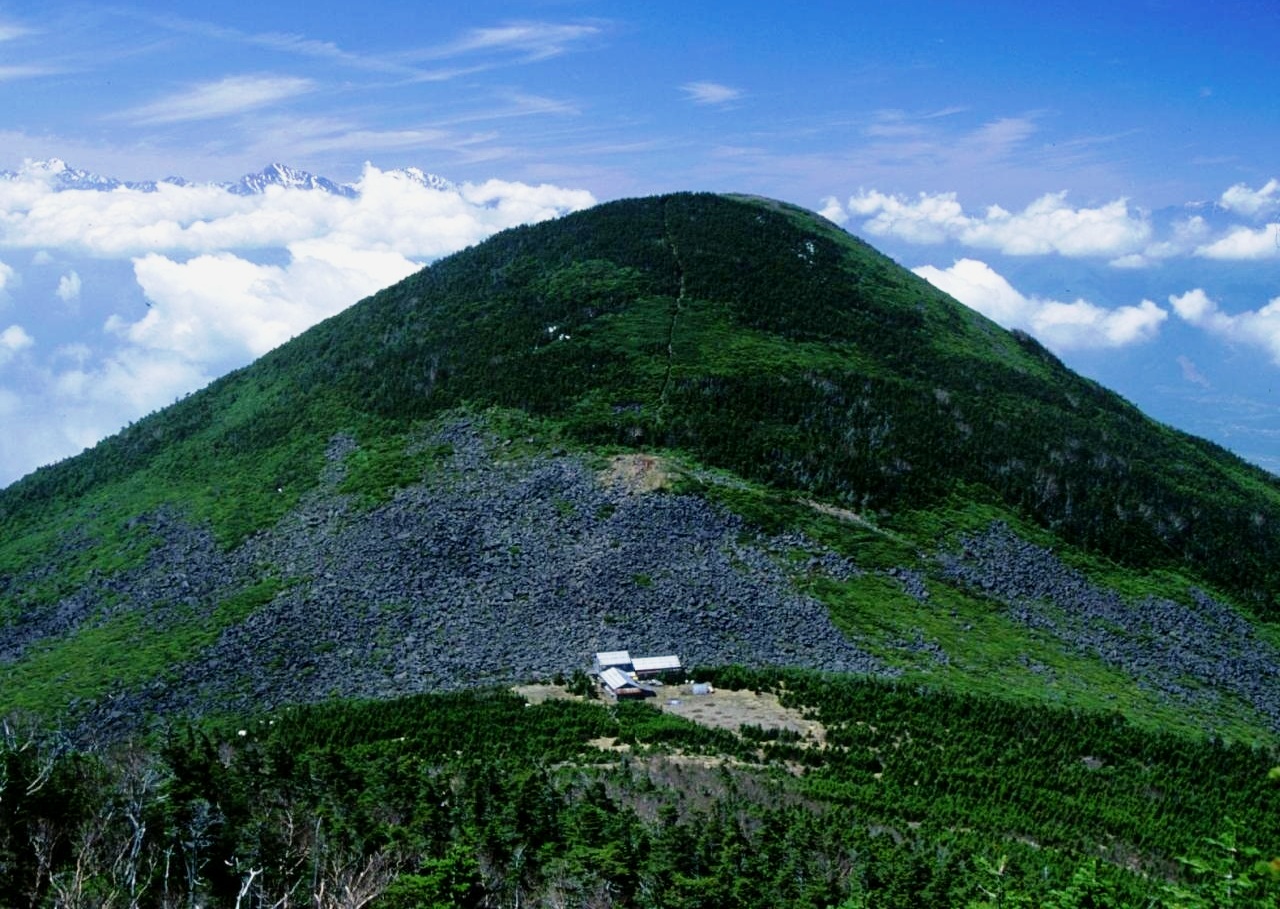
- Mount Amigasa from Mount Gongen 1994-5-14, alpsdake, Public domain
- P1000772 misogi 2, 立志堂, CC BY-SA 3.0
- Fujimi High School, Asasa198, CC BY-SA 4.0
- Teikyo Gakuen Junior College, Asasa198, CC BY-SA 4.0
- Mt.Amagoidake 05, Σ64, CC BY 3.0
- Fujimi Hongo Elementary School, The in Door, CC BY-SA 4.0
- Landscapes seen from JR條井線 between Matsumoto and 小淵沢 (96067), Syced, CC0
- 中央本線から旧立場川橋梁を見る - panoramio, ESU, CC BY 3.0
- 旧立場川橋梁 - panoramio, ESU, CC BY 3.0
- 白い小屋 - panoramio, ESU, CC BY 3.0
- 富士見駅周辺 - panoramio - くろふね, くろふね, CC BY 3.0
- Japanese-national-railways-211-N612-20220820-152601, LERK, CC BY-SA 4.0
- 富士見駅周辺 - panoramio, くろふね, CC BY 3.0
- 富士見駅 - panoramio, くろふね, CC BY 3.0
- Landscapes seen from JR條井線 between Matsumoto and 小淵沢 (55507), Syced, CC0
- 富士見駅 - panoramio (3), くろふね, CC BY 3.0
- 富士見駅 - panoramio (1), くろふね, CC BY 3.0
- 富士見駅 - panoramio (2), くろふね, CC BY 3.0


Page built November 5, 2026. Spotted a mistake? Tell us or suggest a place.