


Fukuyama, Japan
福山市
Fukuyama is a town of 468,812 people in Hiroshima, Japan, founded in April 1, 1889.
Why visit Fukuyama
Townapedia lists 42 museums and landmarks, 113 parks and trails, 124 places to eat, 11 places to stay and 9 attractions in and around town.
Highlights include Fukuyama City University, Fukuyama Heisei University, Fukuyama Castle and Fukuyama Auto & Clock Museum.
Weather in Fukuyama
Forecast from MET Norway (CC BY 4.0). Full forecast
About Fukuyama
Fukuyama (Japanese: 福山, romanized: Fukuyama) is a city in Hiroshima Prefecture, Japan. As of 31 March 2023, the city had an estimated population of 459,160 in 214259 households and a population density of 890 persons per km2. The total area of the city is 518.14 square kilometres (200.05 sq mi). After Hiroshima, it is the largest city in Hiroshima Prefecture.
From the Wikipedia article Fukuyama, Hiroshima (this version), under CC BY-SA 4.0.
Travel tips from other travellers: Fukuyama on Wikivoyage (CC BY-SA 4.0).
Things to do9

Fukuyama City University
School · 1.3 km
Higher education institution in Hiroshima Prefecture, Japan

Fukuyama Heisei University
School · 7.6 km
Higher education institution in Hiroshima Prefecture, Japan



Museums and landmarks42

Fukuyama Castle
Monument and historic site · 1.0 km
Mo off; Tu-Su,PH 09:00-17:00; PH Mo 23:59-48:00 off


Hiroshima Prefectural Museum of History
Museum · 1.0 km
Museum in Fukuyama, Hiroshima, Japan

Kusado Sengen
Monument and historic site · 1.8 km
Archaeological site in Fukuyama, Japan

Onomichi City Museum of Art
Museum · 17.7 km
Art museum in Onomichi, Hiroshima, Japan

Tsukumo Shell Mound
Monument and historic site · 15.3 km
Archaeological site in Kasaoka, Japan

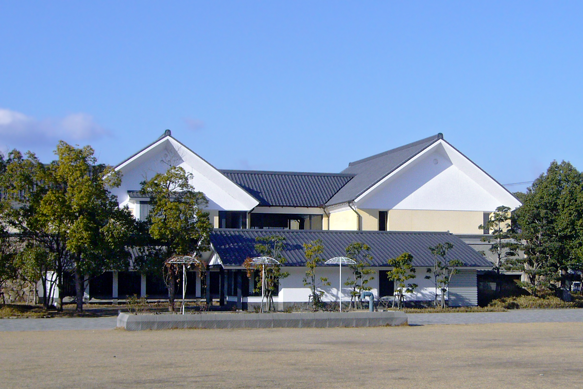


30 more on the map.
Parks, trails and playgrounds113

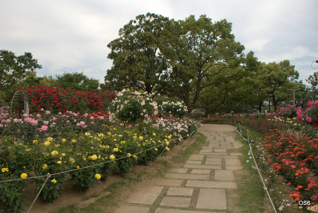





101 more on the map.
Restaurants and cafes124


ステーキ丼専門店黒べぇさん
Restaurant · Steak House · 1.6 km
21, 福山市
Tu-Su 11:00-14:00,17:30-22:00
ステーキ丼専門店黒べぇさん手城店
Restaurant · Steak House · 2.3 km
12, 福山市
11:00-15:00,17:30-22:00
112 more on the map.
History
The Fukuyama area is part of ancient Bingo Province, but until large-scale land reclamation projects in the Edo Period, it was largely tidal flats or part of the sea. An exception was the Ekiya neighborhood of northern Fukuyama, which was a post station on the old Sanyōdō highway. In the Edo Period, Fukuyama Castle and its surrounding castle town was founded as a castle town in 1619 by Mizuno Katsunari, a cousin of Shōgun Tokugawa Ieyasu. Mizuno was given command of a territory consisting of southern Bingo Province and southwestern Bitchū Province. The Mizuno were later replaced by the Abe clan. Following the Meiji restoration, the town of Fukuyama was established on April 1, 1889, with the creation of the modern municipalities system.
Fukuyama Town became Fukuyama City on July 1, 1916. The population of the city at that time was 32,356. In 1933, ten villages from surrounding Fukayasu District were merged into Fukuyama. Two additional villages from Numakuma District were similarly merged in 1942. On August 8, 1945 (two days after the atomic-bombing of Hiroshima), 91 American B-29 bombers made an air raid on Fukuyama, destroying much of the city.
From the History section of Fukuyama, Hiroshima on Wikipedia, under CC BY-SA 4.0.
Where to stay11
Churches and places of worship34
Shopping56
Gas and EV charging15
Schools, colleges and libraries92
Healthcare57
Map of Fukuyama
250 places. The map loads OpenStreetMap tiles when you open it.
Getting there and nearby towns
Hiroshima Airport (HIJ) is the nearest airport with scheduled flights listed in OpenStreetMap, 41 km away.
- Kannabechō-yahiro 10 km northeast, about 10 min by car
- Shin’ichi 12 km northwest, about 12 min by car
- Kasaoka 13 km east, about 13 min by car
- Fuchūchō 16 km northwest, about 16 min by car
- Ibara 16 km northeast, about 16 min by car
- Onomichi 17 km southwest, about 17 min by car
- Satoshō 18 km east, about 18 min by car
- Niihama 58 km south, about 58 min by car
- Kure 79 km west, about 1 h 15 min by car
- Hiroshima 85 km west, about 1 h 30 min by car
Drive times are estimates from straight-line distance, not routes.
Local news
Headlines from INDB.
Reviews, tips and questions
Loading what members have shared...
Sources and licences
- GeoNames (CC BY 4.0): population, coordinates, regions and time zone
- OpenStreetMap contributors (ODbL 1.0): places, airports, map data
- Wikidata (CC0 1.0): elevation, founding date, time zone, website, landmarks and historic places
- Wikimedia Commons (see each image): photos
- Wikipedia (CC BY-SA 4.0): overview and history text
Photo credits
- 1 Chome-8 Marunouchi, Fukuyama-shi, Hiroshima-ken 720-0061, Japan - panoramio (2), Nagono, CC BY-SA 3.0
- Tomato Bank Fukuyama Branch, ラハール, CC BY-SA 4.0
- 1 Chome Kasumichō, Fukuyama-shi, Hiroshima-ken 720-0812, Japan - panoramio, Nagono, CC BY-SA 3.0
- Credit Union Hiroshima Shōgin Fukuyama Branch, ラハール, CC BY-SA 4.0
- Hiroshima Bank Fukuyama Sales Department, ラハール, CC BY-SA 4.0
- Chūgoku Bank Fukuyama Branch, ラハール, CC BY-SA 4.0
- Mizuho Bank Fukuyama Branch, ラハール, CC BY-SA 4.0
- Nishi-Nippon City Bank Fukuyama Branch, ラハール, CC BY-SA 4.0
- Shimanami Shinkin Bank Fukuyama Sales Department, ラハール, CC BY-SA 4.0
- Fukuyama Chūgin Building, ラハール, CC BY-SA 4.0
- Iyo Bank Fukuyama Branch, ラハール, CC BY-SA 4.0
- Fukuyama Shin'ai Building, ラハール, CC BY-SA 4.0
- Hyakujūshi Bank Fukuyama Branch, ラハール, CC BY-SA 4.0
- San-in Godo Bank Fukuyama Branch, ラハール, CC BY-SA 4.0
- Fukuyama 20210403221552 (51334838784), inunami, CC BY 2.0
- Hiroshima-bunka-center-fukuyama, -- メルビル ( talk ) 16:04, 26 July 2010 (UTC), Public domain
- Sumitomo Mitsui Trust Bank Fukuyama Branch, Suikotei, CC BY 4.0
- Bank of Tōkyō-Mitsubishi UFJ, Fukuyama Branch, ラハール, CC BY-SA 4.0
- MUFG Bank Fukuyama Branch, Suikotei, CC BY 4.0
- Fukuyama 20210227201624 (51334331228), inunami, CC BY 2.0
- Fukuyama 20210227201716 (51335115485), inunami, CC BY 2.0
- JR Fukuyama Sta. - panoramio, Nagono, CC BY-SA 3.0
- Fukuyama 20210227201807 (51335115310), inunami, CC BY 2.0
- Fukuyama 20210227202426 (51333382457), inunami, CC BY 2.0
- 30 Sannomaruchō, Fukuyama-shi, Hiroshima-ken 720-0066, Japan - panoramio (2), Nagono, CC BY-SA 3.0
- Fukuyama 20210227202806 (51334330543), inunami, CC BY 2.0
- Fukuyama st01ss1920, 663highland, CC BY 2.5
- 30 Sannomaruchō, Fukuyama-shi, Hiroshima-ken 720-0066, Japan - panoramio, Nagono, CC BY-SA 3.0
- Kusadosengentyou, carpkazu, Public domain
- Onomichi City Museum of Art, Wiiii, CC BY-SA 3.0
- Tsukumo Kaizuka, gaikan, Saigen Jiro, CC0
- Fukuyama City University, Wing Sky Wing, CC BY-SA 3.0
- Hiroshima Prefectural Museum of History01s2040, 663highland, CC BY 2.5
- Fukuyamajyou7055, 日: Jnn, CC BY 2.1 jp
- Myō-ō-in (Fukuyama), Five-storied Pagoda and Main Hall 001, Naokijp, CC BY-SA 4.0
- Fukuyama Museum of Literature Fukuyama Hiroshima pref Japan01s5, 663highland, CC BY 2.5
- 060108 Fukuyama Museum of Art Fukuyama Japan02s3, 663highland, CC BY-SA 4.0
- Youme Town Zao in Fukuyama, Carpkazu, Public domain
- Fukuyama st08n3872, 663highland, CC BY 2.5
- Fuji Grand Kannabe, Sky Wing Sky, CC BY-SA 3.0
- National Hospital Organization Fukuyama Medical Center, Waka77, Public domain
- Fukuyamahatimangu Nishagyoen, Carpkazu, CC BY-SA 3.0
- Fukuyama City Hospital, アラツク, CC BY-SA 4.0
- Fukuyama Auto & Clock Museum 20120526-1, Taisyo, CC BY 3.0
- Eishuu Gakan, Sky Wing Sky, CC BY-SA 3.0
- Kusado Inari-jinja 004, Naokijp, CC BY-SA 4.0
- Mt' Zao in Fukuyama, Carpkazu, CC BY-SA 3.0
- Fukuyama Tenmaya02bs3200, 663highland, CC BY 2.5
- Tomitani-zoo, -- メルビル ( talk ) 09:50, 20 June 2010 (UTC), CC BY-SA 3.0
- Fukuyama heisei daigaku, Carpkazu at Japanese Wikipedia, CC BY-SA 3.0
- Hiroshima Prefectural Fukuyama-Seishikan High School, Unknown author, CC BY-SA 3.0
- Fukuyama Ginga High School, Carpkazu, CC BY-SA 3.0
- Rim f, Lumi iori, CC BY-SA 3.0
- 福山ばら公園, OS6, CC BY-SA 3.0


Page built November 4, 2026. Spotted a mistake? Tell us or suggest a place.