


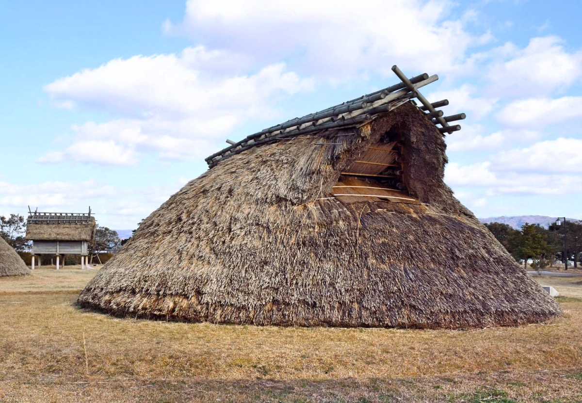
Hakui, Japan
羽咋市
Hakui is a town of 24,529 people in Ishikawa, Japan, founded in July 1, 1958.
Why visit Hakui
Townapedia lists 18 museums and landmarks, 17 parks and trails, 24 places to eat, 14 places to stay and 1 attraction in and around town.
Highlights include Jike Site, Yoshizaki-Suba Site and 滝港マリーナ.
Weather in Hakui
Forecast from MET Norway (CC BY 4.0). Full forecast
About Hakui
Hakui (羽咋市, Hakui-shi) is a city located in Ishikawa Prefecture, Japan. As of 1 February 2018, the city had an estimated population of 22,052 in 8566 households, and a population density of 270 persons per km². The total area of the city was 81.85 square kilometres (31.60 sq mi).
From the Wikipedia article Hakui, Ishikawa (this version), under CC BY-SA 4.0.
Travel tips from other travellers: Hakui on Wikivoyage (CC BY-SA 4.0).
Things to do1

Museums and landmarks18

Jike Site
Monument and historic site · 4.2 km
Archaeological site in Hakui, Hokuriku, Japan
Yoshizaki-Suba Site
Monument and historic site · 2.5 km
Archaeological site


6 more on the map.
Parks, trails and playgrounds17






5 more on the map.
Restaurants and cafes24


12 more on the map.
History
The area around Hakui has been settled since the pre-Jōmon period was part of ancient Noto Province. The ichinomiya of Noto province, Keta Taisha is located in Hakui, and shrine legend asserts that this is the location at which Ōkuninushi landed with 300 of his folders from Izumo to subdue the inhabitants of Noto Peninsula during the reign of the demi-legendary 8th Emperor Kōgen or 10th Emperor Sujin. The name of "Hakui" is derived from the kanji 羽 (ha), meaning feathers, and 咋 (kui) meaning "to eat". This name comes from an ancient legend which tells of Prince Iwatsuku (the son of Emperor Kōgen) killing a monstrous bird which plagued the area. The Prince's dogs went to the beast's body and pulled away mouthfuls of feathers.
During the Sengoku Period the area was contested by the Uesugi clan and Maeda clan. The area became part Kaga Domain under the Edo period Tokugawa shogunate. Following the Meiji restoration, the area was organised into Hakui District, Ishikawa.
The town of Hakui was established with the creation of the modern municipalities system on April 1, 1889. It was raised to city status on July 1, 1958.
From the History section of Hakui, Ishikawa on Wikipedia, under CC BY-SA 4.0.
Where to stay14
Churches and places of worship28
Shopping6
Gas and EV charging2
Schools, colleges and libraries17
Healthcare5
Map of Hakui
132 places. The map loads OpenStreetMap tiles when you open it.
Getting there and nearby towns
Toyama Airport (TOY) is the nearest airport with scheduled flights listed in OpenStreetMap, 44 km away.
- Hōdatsushimizu 3 km southeast, about 3 min by car
- Oshima 12 km north, about 12 min by car
- Kahoku 15 km southwest, about 15 min by car
- Tsubata 24 km south, about 24 min by car
- Nanao 25 km northeast, about 25 min by car
- Kanazawa 35 km southwest, about 35 min by car
- Toyama 44 km southeast, about 44 min by car
- Matsutō 45 km southwest, about 45 min by car
- Wajima 59 km north, about 59 min by car
- Komatsu 61 km southwest, about 1 h by car
Drive times are estimates from straight-line distance, not routes.
Local news
Headlines from INDB.
Reviews, tips and questions
Loading what members have shared...
Sources and licences
- GeoNames (CC BY 4.0): population, coordinates, regions and time zone
- OpenStreetMap contributors (ODbL 1.0): places, airports, map data
- Wikidata (CC0 1.0): elevation, founding date, time zone, website, landmarks and historic places
- Wikimedia Commons (see each image): photos
- Wikipedia (CC BY-SA 4.0): overview and history text
Photo credits
- Hakui City Hall, 2010/09/26, CC BY-SA 3.0
- Hakui station platform, Niiryoku2910, CC BY-SA 4.0
- Hakui 20190302151608 (48315333627), inunami, CC BY 2.0
- Imahama, Hodatsushimizu, Hakui District, Ishikawa Prefecture 929-1344, Japan - panoramio - kiwa dokokano, kiwa dokokano, CC BY-SA 3.0
- Imahama, Hodatsushimizu, Hakui District, Ishikawa Prefecture 929-1344, Japan - panoramio, kiwa dokokano, CC BY-SA 3.0
- Yoshizaki Site, MChew, CC BY-SA 4.0
- Jike ruin, 運動会プロテインパワー, CC BY-SA 4.0
- Keta-taisha keidai, Saigen Jiro, CC0
- Hakui-jinja haiden, Saigen Jiro, CC0
- Hakui General Hospital, 運動会プロテインパワー, CC BY-SA 4.0
- Taki Port Marina in Hakui, Aerial photo 2017, 国土地理院 Geospatial Information Authority of Japan, Attribution
- R249-028, Puchi-masashi, CC BY-SA 4.0
- 羽咋駅 正面 - panoramio, クハ419-5, CC BY-SA 3.0
- 羽咋駅 東口外観 - panoramio, クハ419-5, CC BY-SA 3.0
- Shikinami station, Yanahan, CC BY-SA 4.0
- (石川県) 千里浜なぎさドライブウェイ。日本で唯一自動車等で砂浜の波打ち際を走ることができる道路。ちょうど日の出 - panoramio, Shift, CC BY-SA 3.0
- Fit RS・Honda SENSING 07, Maechan0360, CC BY-SA 4.0
- Chirihama nagisa driveway - panoramio, yuukin, CC BY 3.0
- Shio PA, アラツク, CC BY-SA 4.0
- FIT HYBRID RS(10), Maechan0360, CC BY 3.0
- FIT HYBRID RS(11), Maechan0360, CC BY-SA 4.0
- Takamatsu station 20150328, Yanahan, CC BY-SA 4.0
- Fit RS・Honda SENSING 06, Maechan0360, CC BY-SA 4.0
- 千路駅 正面 - panoramio, クハ419-5, CC BY-SA 3.0
- 千路駅 駅名標 - panoramio, クハ419-5, CC BY-SA 3.0
- Chirihama Nagisa Beach Driveway - 2016-05-01, MathieuMD, CC BY-SA 4.0
- Michinoeki-noto-chirihama, On-neko, CC BY-SA 4.0
- 千路駅 ホーム東端より - panoramio, クハ419-5, CC BY-SA 3.0
- R471-2019-005, Puchi-masashi, CC BY-SA 4.0
- 神子原ダム - panoramio, kitakame, CC BY 3.0
- Myohorin-ji, Hodatsushimizu - Main hall, 運動会プロテインパワー, CC BY-SA 4.0
- 神子原ダム - panoramio (1), kitakame, CC BY 3.0
- 千石町の桜 - panoramio, kitakame, CC BY 3.0
- 千石町の桜 - panoramio (1), kitakame, CC BY 3.0
- Hodatsu station, Yanahan, CC BY-SA 4.0
- 神子の里 - panoramio, kitakame, CC BY 3.0
- 権現様の桜 - panoramio (1), kitakame, CC BY 3.0
- 権現様の桜 - panoramio, kitakame, CC BY 3.0
- 権現様の桜 - panoramio (2), kitakame, CC BY 3.0
- 宝達駅 東口正面 - panoramio, クハ419-5, CC BY-SA 3.0


Page built November 4, 2026. Spotted a mistake? Tell us or suggest a place.