


Kagoshima, Japan
鹿児島市
Kagoshima is a regional capital of 595,049 people in Kagoshima, Japan, founded in April 1, 1889.
Why visit Kagoshima
Townapedia lists 67 museums and landmarks, 50 parks and trails, 183 places to eat, 14 places to stay and 7 attractions in and around town.
Highlights include Kagoshima University, Kagoshima City Aquarium, Kagoshima City Museum of Art and Kagoshima University Museum.
Weather in Kagoshima
Forecast from MET Norway (CC BY 4.0). Full forecast
About Kagoshima
Kagoshima (鹿児島市, Kagoshima-shi; Japanese pronunciation: [kä̀.ɡó̞.ɕí.mä́(.ɕì), -ŋó̞-], locally [kä̀.ɡó̞ɕ.mä̀, -ɡò̞ɕ.mä́.ɕì]), is the capital city of Kagoshima Prefecture, Japan. As of 31 July 2024, the city had an estimated population of 583,966 in 285,992 households, and a population density of 1100 persons per km2. The total area of the city is 547.61 km2 (211.43 sq mi).
From the Wikipedia article Kagoshima (this version), under CC BY-SA 4.0.
Travel tips from other travellers: Kagoshima on Wikivoyage (CC BY-SA 4.0).
Things to do7

Kagoshima University
School · 0.7 km
Higher education institution in Kagoshima Prefecture, Japan
24, 鹿児島市

Kagoshima City Aquarium
Monument and historic site · 3.5 km
Public aquarium in Kagoshima, Kagoshima prefecture, Japan

Shigakukan University
School · 1.1 km
Private university in Kagoshima, Japan



Museums and landmarks67


Kagoshima University Museum
Museum · 0.7 km
Museum in Kagoshima, Japan

Museum of the Meiji Restoration
Museum · 2.0 km
Museum in Kagoshima, Japan

Reimeikan, Kagoshima Prefectural Center for Historical Material
Museum · 3.6 km
Museum in Kagoshima, Japan

Shōko Shūseikan
Museum · 6.2 km
UNESCO World Heritage Site in Kagoshima, Japan



Faculty of Fisheries, Kagoshima University - 鹿児島大学水産学部
Monument and historic site · 0.6 km
A place were you can relax and take a minute to yourself.

The Birthplace of Nogi Shizuko
Monument and historic site · 1.7 km
1919年、静子夫人の銅像が建立されたが太平洋戦争末期に軍事資材として供出され、台座のみ残る
55 more on the map.
Parks, trails and playgrounds50


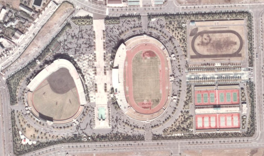


38 more on the map.
Restaurants and cafes183




171 more on the map.
History
Shimazu Ujihiza, of the Shimazu clan, moved into the area around 1340. Christian missionary Francis Xavier first reached Japan by landing in Kagoshima on August 15, 1549, specifically on the coast of modern-day Gionnosu, now part of the city's urban area.
In Cangoxima, the first place Father Master Francisco stopped at, there were a good number of Christians, although there was no one there to teach them; the shortage of labourers prevented the whole kingdom from becoming Christian.
From the History section of Kagoshima on Wikipedia, under CC BY-SA 4.0.
Where to stay14
Churches and places of worship27
Shopping53
Gas and EV charging12
Schools, colleges and libraries39
Healthcare134
Map of Kagoshima
250 places. The map loads OpenStreetMap tiles when you open it.
Getting there and nearby towns
Kagoshima Airport (KOJ) is the nearest airport with scheduled flights listed in OpenStreetMap, 31 km away.
- Ijūin 15 km west, about 15 min by car
- Tarumizu 17 km southeast, about 17 min by car
- Umeki 19 km northwest, about 19 min by car
- Kajiki 22 km northeast, about 22 min by car
- Aira 23 km north, about 23 min by car
- Hamanoichi 24 km northeast, about 24 min by car
- Minamikyushu 26 km south, about 26 min by car
- Kirishima 28 km northeast, about 28 min by car
- Kanoya 35 km southeast, about 35 min by car
- Miyakonojō 52 km east, about 52 min by car
Drive times are estimates from straight-line distance, not routes.
Local news
Headlines from INDB.
Reviews, tips and questions
Loading what members have shared...
Sources and licences
- GeoNames (CC BY 4.0): population, coordinates, regions and time zone
- OpenStreetMap contributors (ODbL 1.0): places, airports, map data
- Wikidata (CC0 1.0): elevation, founding date, time zone, website, landmarks and historic places
- Wikimedia Commons (see each image): photos
- Wikipedia (CC BY-SA 4.0): overview and history text
Photo credits
- Sakurajima -城山展望台より, こたつむり from Hokkaidō, Japan., CC BY-SA 2.1 jp
- Kagoshima Ichinomiya-jinja torii, Sakoppi, CC BY 3.0
- Kagoshima Yahata Elementary School, Sakoppi, CC BY 3.0
- Kagoshima Ramen (4982401863), Daisuke FUJII, CC BY 2.0
- 鹿児島大学図書館(Kagoshima University Library) - panoramio, iwaseta, CC BY-SA 3.0
- Kagoshima University Festival in 2008 04, ja:User:Sanjo, Public domain
- Kagoshima University Festival in 2008 02, ja:User:Sanjo, Public domain
- Kagoshima University Festival in 2008 01, ja:User:Sanjo, Public domain
- Gate, Kagoshima University Faculty of Engineering - May 20, 2018, ayustety, CC BY-SA 2.0
- Kagoshima University Central library, ja:User:Sanjo, Public domain
- Kagoshima Aquarium 2013-08A, At by At, CC BY-SA 3.0
- The International University of Kagoshima, Sakoppi, CC BY 3.0
- Kagoshima City Museum of Art01n4440, 663highland, CC BY 2.5
- Museum of Meiji Restoration with Kotsuki-River, 鹿児島市, CC BY 4.0
- Reimeikan, Krypton at Japanese Wikipedia, CC BY-SA 3.0
- Kagoshima Syuseikan, Yanajin, CC BY-SA 3.0
- Korai Bridge, Sakoppi, CC BY 3.0
- Kagoshima Airport01n4592, 663highland, CC BY 2.5
- Kagoshima Prefectural Kamoike Park, 国土交通省 改変 Sakoppi, Attribution
- Kyougetsu-Tei Kagoshima Japan, ja:User:Sanjo, CC BY-SA 3.0
- Kagoshima Shigakukan junior and senior high school, hyolee2, CC BY-SA 3.0
- Aratahachiman Kagoshima, Sakoppi, CC BY 3.0
- Kagoshima Medical Association Hospital, Sakoppi, CC BY 3.0
- Nakasu Elementary School, Sakoppi, CC BY 3.0
- Tenpozan Junior High School, Sakoppi, CC BY 3.0
- Kounai Junior High School, Sakoppi, CC BY 3.0
- Kagoshima City Hospital in Uearata Entrance, Sakoppi, CC BY-SA 3.0
- Kagoshima Municipal Science Hall, Sakoppi, CC BY 3.0
- Arata Elementary School, Sakoppi, CC BY 3.0
- Konan-high-school-honkan, ryo aska, Public domain
- Kamoike140511-02, Kanko3131, CC BY-SA 3.0
- Kagoshima Junshin Girls' high school (Junior,Senior), Michael Crossroad, CC BY-SA 3.0
- Seikyō Daian-ji (Kagoshima) 01, Higa4, CC0
- Arata-hachimangu Kita-zuisin, Kagoshima 01, Higa4, CC0
- Kōshō-ji betsuin (Kagoshima) 01, Higa4, CC0
- Yonemori Hospital, Kagoshima, 運動会プロテインパワー, CC BY-SA 4.0
- 天保山公園 共月亭, あじさか, CC BY-SA 4.0
- 乃木将軍夫人湯地氏誕生之地, あじさか, CC BY-SA 4.0
- 法華宗 正建寺, あじさか, CC BY-SA 4.0
- 船魂神社 新屋敷町, あじさか, CC BY-SA 4.0
- 荒田八幡宮 北随神, あじさか, CC BY-SA 4.0
- 荒田八幡宮 東随神, あじさか, CC BY-SA 4.0
- Kagoshima Shigakukan University, hyolee2, CC BY-SA 3.0
- Haikara-tei Kobayashi 2026, ja:User:Sanjo, CC BY-SA 4.0
- 荒田八幡宮 南随神, あじさか, CC BY-SA 4.0


Page built November 4, 2026. Spotted a mistake? Tell us or suggest a place.