



Loading the weather...
Population73,753
GeoNames
RegionKyoto
Elevation75 m
246 ft
Time zoneAsia/Tokyo
Nearest airportOsaka Itami Airport (ITM)
30 km
Why visit Kyōtanabe
Townapedia lists 28 museums and landmarks, 79 parks and trails, 51 places to eat and 3 attractions in and around town.
Highlights include Kyoto International University, Mt. Kannabi and Moriyama Site.
Weather in Kyōtanabe
Forecast from MET Norway (CC BY 4.0). Full forecast
Things to do3



Museums and landmarks28


Moriyama Site
Monument and historic site · 4.8 km
Archaeological site


16 more on the map.
Parks, trails and playgrounds79


67 more on the map.
Advertisement
Restaurants and cafes51



39 more on the map.
Churches and places of worship21
Shopping12
Advertisement
Gas and EV charging2
Schools, colleges and libraries17
Healthcare16
Advertisement
Map of Kyōtanabe
229 places. The map loads OpenStreetMap tiles when you open it.
Getting there and nearby towns
Osaka Itami Airport (ITM) is the nearest airport with scheduled flights listed in OpenStreetMap, 30 km away.
- Katano 7 km west, about 7 min by car
- Sayama 8 km north, about 8 min by car
- Yawata 9 km northwest, about 9 min by car
- Kizugawa 10 km southeast, about 10 min by car
- Takatsuki 15 km west, about 15 min by car
- Ikoma 15 km southwest, about 15 min by car
- Settsu 16 km west, about 16 min by car
- Ibaraki 18 km west, about 18 min by car
- Kadoma 19 km southwest, about 19 min by car
- Mukō 19 km north, about 19 min by car
Drive times are estimates from straight-line distance, not routes.
Local news
Headlines from INDB.
Reviews, tips and questions
Loading what members have shared...
Sources and licences
- GeoNames (CC BY 4.0): population, coordinates, regions and time zone
- OpenStreetMap contributors (ODbL 1.0): places, airports, map data
- Wikidata (CC0 1.0): elevation, founding date, time zone, website, landmarks and historic places
- Wikimedia Commons (see each image): photos
Photo credits
- Bairyo junior high school 001, Crown user, CC BY-SA 3.0
- Kannnonnjioomidou, NoharaR, CC BY-SA 4.0
- Ikkyuji Somon DSCN1286 20101117, Ogiyoshisan, Public domain
- Tanakurahiko Jinja Torii, Zeter114514, CC BY-SA 4.0
- Moriyama Site (Joyo), gaikan, Saigen Jiro, CC0
- Kyoto Prefectural Tanabe High School, KishujiRapid, CC BY-SA 4.0
- Tanabe Central Hospital, KishujiRapid, CC BY-SA 4.0
- Exterior of Miyamaki Elementary School, Koichiro Enoki, CC BY-SA 4.0
- 酒屋神社 - panoramio, Akeiro Torii, CC BY-SA 3.0
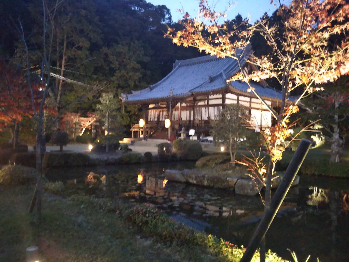
- Hôsenji Temple Kyotanabe JPN 001, Ignis, CC BY-SA 4.0
- 酒屋神社(本殿) - panoramio, Akeiro Torii, CC BY-SA 3.0
- Tsutsuki-no-Miya, Takanuka, CC BY 3.0
- Timetable DoshishaDaigakuDavisKinenkanN NaraKotsu 20251214, Olegushka, CC BY-SA 4.0
- DoshishaDaigakuDavisKinenkanN NaraKotsu 20251214, Olegushka, CC BY-SA 4.0
- JR Doshishamae St. For No.2 Plathome Pass Ruins, Kamigata0, CC BY-SA 4.0
- Kodo - panoramio - DVMG, DVMG, CC BY 3.0
- Kodo - panoramio, DVMG, CC BY 3.0
- Kodo - panoramio - DVMG (1), DVMG, CC BY 3.0
- Noaki shop - panoramio, DVMG, CC BY 3.0
- 東山神社 - panoramio, Akeiro Torii, CC BY-SA 3.0
- 同志社大学 多々羅キャンパス 入口, Cakoko23, CC BY-SA 4.0
- 同志社大学 多々羅キャンパス テニスコート2, Cakoko23, CC BY-SA 4.0
- 同志社大学 多々羅キャンパス 本館, Cakoko23, CC BY-SA 4.0
- 同志社大学 多々羅キャンパス ゴルフ練習場, Cakoko23, CC BY-SA 4.0
- 同志社大学 多々羅キャンパス, Cakoko23, CC BY-SA 4.0
- 同志社大学 多々羅キャンパス 体育館, Cakoko23, CC BY-SA 4.0
- Lambda-Chain-2010-ar-p8, NipponBill, CC BY-SA 3.0
- First Lambda Chain catalog 1988, NipponBill, CC BY-SA 3.0
- 同志社大学 多々羅キャンパス テニスコート, Cakoko23, CC BY-SA 4.0
- 松代稲荷 - panoramio, Akeiro Torii, CC BY-SA 3.0
- 山崎神社 - panoramio, Akeiro Torii, CC BY-SA 3.0
- 天満宮 - panoramio (5), Akeiro Torii, CC BY-SA 3.0
- JR Kyotanabe Sta. E. - panoramio, Nagono, CC BY-SA 3.0
- ツキムラ 近鉄ドア広告 (27245261611), Koichiro Yoshida, CC BY-SA 2.0
- 棚倉孫神社 - panoramio, Akeiro Torii, CC BY-SA 3.0
- 新田辺駅, 由紀奈, CC BY-SA 4.0
- 咋岡神社 - panoramio, Akeiro Torii, CC BY-SA 3.0
- 水分神社 - panoramio, Akeiro Torii, CC BY-SA 3.0
- AL-PLAZA View E. - panoramio, Nagono, CC BY-SA 3.0
- 嚴島社 - panoramio, Akeiro Torii, CC BY-SA 3.0


Page built November 5, 2026. Spotted a mistake? Tell us or suggest a place.