


Muramatsu, Japan
村松町
Muramatsu is a town of 19,712 people in Niigata, Japan, founded in April 1, 1889.
Why visit Muramatsu
Townapedia lists 35 museums and landmarks, 41 parks and trails, 86 places to eat, 20 places to stay and 24 attractions in and around town.
Highlights include Niigata University of Management, 大蔵山, Furutsu Hachimanyama Site and Northern Culture Museum.
Weather in Muramatsu
Forecast from MET Norway (CC BY 4.0). Full forecast
About Muramatsu
Muramatsu (村松町, Muramatsu-machi) was a town located in Nakakanbara District, Niigata Prefecture, Japan. On January 1, 2006, Muramatsu was merged into the expanded city of Gosen. Current mail addresses read "Gosen City, Muramatsu" (五泉市村松) to mark the merger.
From the Wikipedia article Muramatsu, Niigata (this version), under CC BY-SA 4.0.
Things to do24

Niigata University of Management
School · 9.6 km
Higher education institution in Niigata Prefecture, Japan






12 more on the map.
Museums and landmarks35

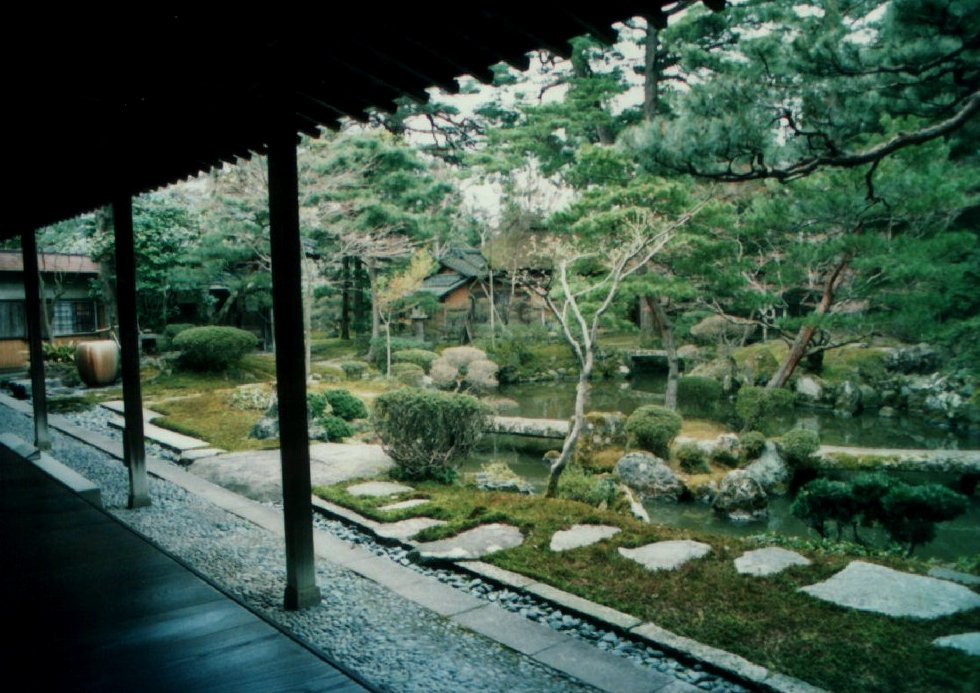
Furutsu Hachimanyama Site
Monument and historic site · 9.4 km
Yayoi period archaeological site in Akiha-ku, Hokuriku, Japan






23 more on the map.
Parks, trails and playgrounds41




29 more on the map.
Restaurants and cafes86


74 more on the map.
History
The three-volume History of Muramatsu Town (村松町史) published in 1983 gives many details about its long history. One of only a few castle-towns in Niigata Prefecture, the Muramatsu Clan was ruled by the Hori Family throughout the Edo period. The feudal castle was burned down during the Boshin War in 1868. The site is now a public park housing a small museum archive as well as the town's elaborate festival wagon, which is brought out each September during the Autumn Equinox.
In September 1945, 1800 members of the 1st and 2nd battalion, 27th regiment of US Army soldiers were housed at the Signal Corps barracks on the eastern edge of town. They stayed until that December, leaving a very positive impression on the Japanese citizens and contradicting rumors and suspicions spread by wartime propaganda. An English-language memoir of this period was published electronically in 2000 by the University of Kansas Center for East Asian Studies (Goto, 2000).
In May, 1946, a very large fire burned for more than eight hours, destroying 70% of the town (over 1000 homes), injuring fifty-nine and killing two. Much of the downtown district was destroyed and historical buildings lost (History v. II, pp. 802–806).
From the History section of Muramatsu, Niigata on Wikipedia, under CC BY-SA 4.0.
Where to stay20
Churches and places of worship67
Shopping39
Gas and EV charging8
Schools, colleges and libraries54
Healthcare14
Map of Muramatsu
250 places. The map loads OpenStreetMap tiles when you open it.
Getting there and nearby towns
Niigata Airport (KIJ) is the nearest airport with scheduled flights listed in OpenStreetMap, 30 km away.
- Sanjō 21 km southwest, about 21 min by car
- Tsubame 22 km west, about 22 min by car
- Shibata 32 km northeast, about 32 min by car
- Nagaoka 39 km southwest, about 39 min by car
- Kitakata 61 km east, about 1 h by car
- Aizu-misato Machi 65 km southeast, about 1 h by car
- Murakami 66 km northeast, about 1 h by car
- Aizu-Wakamatsu 72 km east, about 1 h 15 min by car
- Tōkamachi 72 km southwest, about 1 h 15 min by car
- Ryōtsu-minato 77 km northwest, about 1 h 15 min by car
Drive times are estimates from straight-line distance, not routes.
Local news
Headlines from INDB.
Reviews, tips and questions
Loading what members have shared...
Sources and licences
- GeoNames (CC BY 4.0): population, coordinates, regions and time zone
- OpenStreetMap contributors (ODbL 1.0): places, airports, map data
- Wikidata (CC0 1.0): elevation, founding date, time zone, website, landmarks and historic places
- Wikimedia Commons (see each image): photos
- Wikipedia (CC BY-SA 4.0): overview and history text
Photo credits
- Muramatsu Castle Park 001 May2020, Drph17, CC BY 4.0
- Muramatsu Museum May2020, Drph17, CC BY 4.0
- Muramatsu Community Center May2020, Drph17, CC BY 4.0
- Muramatsu Sakurando Kaikan May2020, Drph17, CC BY 4.0
- Gosen City Muramatsu Branch Office May2020, Drph17, CC BY 4.0
- Hirasei HomeCenter Muramatsu May2020, Drph17, CC BY 4.0
- Drug Tops Muramatsu May2020, Drph17, CC BY 4.0
- Muramatsu Park 001 May2020, Drph17, CC BY 4.0
- Muramatsu Park 002 May2020, Drph17, CC BY 4.0
- Muramatsu Park 003 May2020, Drph17, CC BY 4.0
- Muramatsu Atago Shrine May2020, Drph17, CC BY 4.0
- Muramatsu Junior Signal Corps Army Memorial May2020, Drph17, CC BY 4.0
- Monument to the loyal dead in Muramatsu Park May2020, Drph17, CC BY 4.0
- Muramatsu Okiku Inari Shrine May2020, Drph17, CC BY 4.0
- Muramatsu Furusato Kaikan May2020, Drph17, CC BY 4.0
- Muramatsu Furusato Observation Deck May2020, Drph17, CC BY 4.0
- Muramatsu Sakura Arena 002 May2020, Drph17, CC BY 4.0
- Muramatsu Sakura Arena 001 May2020, Drph17, CC BY 4.0
- Niigata University of Management, 国土地理院, CC BY 4.0
- Northern Culture Museum 002, Sgico, CC BY-SA 3.0
- 古津八幡山遺跡前方後方形周溝墓, 小池 隆, CC BY 4.0
- Niigata_prefectural botanical garden outside, Strelitziaaugusta, CC BY-SA 4.0
- SUNTOPIA WORLD, Altomarina, CC BY-SA 3.0
- Kaetsu Hospital 2012, Altomarina, CC BY-SA 4.0
- Nanbugo General Hospital, Altomarina, CC BY-SA 3.0
- Niitsu Railway Museum front, Soren Bradley, CC BY 4.0
- Nigata University of Pharmacy and Applied Life Sciences, LEVITRA at Japanese Wikipedia, CC BY-SA 3.0
- Niitsu Art Museum 201905, Agakambara, CC BY-SA 4.0
- Kamoyama Park Omi Shrine Sep2021, Drph17, CC BY 4.0
- Niigata Prefecture Archaeological Research Center, Japan, August 2022, Tail furry, CC BY-SA 4.0
- Yoshida Togo Memorial Museum, Agano, Niigata, Japan, August 2023, Tail furry, CC BY-SA 4.0
- Niitsu high school, Altomarina, CC BY-SA 3.0
- NiigataCityOpenData rekishinohiroba02, 新潟市(Niigata City), CC BY 2.1 jp
- Mount Gomado Trailhead May2020, Drph17, CC BY 4.0
- Kamoyama Park Sep2021-001, Drph17, CC BY 4.0
- 村松市街 - panoramio, Yobito KAYANUMA, CC BY-SA 3.0
- Saito Piare Mart Gosen Chuo May2020, Drph17, CC BY 4.0
- 蒲原鉄道跡 - panoramio (1), Yobito KAYANUMA, CC BY-SA 3.0
- ISS038-E-11214 - View of Earth, Earth Science and Remote Sensing Unit , Lyndon B. Johnson Space Center, Public domain
- ISS045-E-43824 - View of Earth, Earth Science and Remote Sensing Unit , Lyndon B. Johnson Space Center, Public domain
- Tama-ko Muramatsu Park May2020, Drph17, CC BY 4.0


Page built November 5, 2026. Spotted a mistake? Tell us or suggest a place.