


Loading the weather...
Population25,511
GeoNames
Local name中津隈
RegionSaga
Elevation6 m
20 ft
Time zoneAsia/Tokyo
Nearest airportSaga Airport (Kyushu Saga International Airport) (HSG)
23 km
Why visit Nakatsukuma
Townapedia lists 3 museums and landmarks, 5 parks and trails and 2 places to eat in and around town.
Highlights include Yoshinogari site.
Weather in Nakatsukuma
Forecast from MET Norway (CC BY 4.0). Full forecast
Museums and landmarks3


Yoshinogari site
Monument and historic site · 5.4 km
Prehistoric site located in Yoshinogari, Saga, Japan


Parks, trails and playgrounds5

Restaurants and cafes2

Advertisement
Churches and places of worship1

Shopping5
Schools, colleges and libraries9
Advertisement
Healthcare3
Map of Nakatsukuma
28 places. The map loads OpenStreetMap tiles when you open it.
Getting there and nearby towns
Saga Airport (Kyushu Saga International Airport) (HSG) is the nearest airport with scheduled flights listed in OpenStreetMap, 23 km away.
- Kurume 7 km east, about 7 min by car
- Kanzakimachi-kanzaki 7 km west, about 7 min by car
- Ogōri 12 km northeast, about 12 min by car
- Hirokawa 14 km southeast, about 14 min by car
- Chikugo 14 km south, about 14 min by car
- Ōkawa 15 km southwest, about 15 min by car
- Yanagawa 18 km south, about 18 min by car
- Tachiarai 18 km northeast, about 18 min by car
- Setakamachi-takayanagi 20 km south, about 20 min by car
- Chikushino-shi 20 km north, about 20 min by car
Drive times are estimates from straight-line distance, not routes.
Local news
Headlines from INDB.
Reviews, tips and questions
Loading what members have shared...
Sources and licences
- GeoNames (CC BY 4.0): population, coordinates, regions and time zone
- OpenStreetMap contributors (ODbL 1.0): places, airports, map data
- Wikidata (CC0 1.0): elevation, founding date, time zone, website, landmarks and historic places
- Wikimedia Commons (see each image): photos
Photo credits
- Yoshinogari-iseki zenkei, Saigen Jiro, CC0
- Higashisaga National Hospital, Waka77, CC0
- Saga Dosui manhole covers and Kiridoshi River Pump Station, Peka, CC BY-SA 4.0
- Kamimine Town Furusato Gakkan, Peka, CC BY-SA 4.0
- Miyaki Town Hall in 2022-03-29, Peka, CC BY-SA 4.0
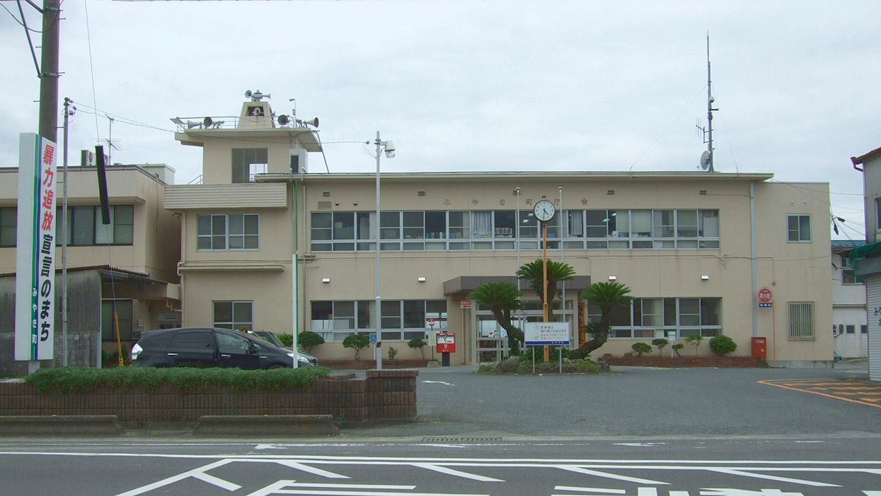
- Miyaki Town Office, Muyo, CC BY-SA 3.0
- Miyaki Town Community Center, Peka, CC BY-SA 4.0
- Amabuki Shuzo warehouses Miyaki, Pekachu, CC BY-SA 4.0
- 天吹酒造旧白米倉庫, ハポニアラ, CC BY 4.0
- 天吹酒造旧仕込蔵, ハポニアラ, CC BY 4.0
- 天吹酒造仕込蔵, ハポニアラ, CC BY 4.0
- 天吹酒造旧酒造蔵煙突, ハポニアラ, CC BY 4.0
- 天吹酒造主屋, ハポニアラ, CC BY 4.0
- 天吹酒造主屋2, ハポニアラ, CC BY 4.0
- 天吹酒造蔵人用炊場煙突, ハポニアラ, CC BY 4.0
- 天吹酒造主屋北から, ハポニアラ, CC BY 4.0
- 天吹酒造離れ座敷, ハポニアラ, CC BY 4.0
- 天吹酒造旧麹室, ハポニアラ, CC BY 4.0
- 天吹酒造旧仕込蔵東から, ハポニアラ, CC BY 4.0
- 天吹酒造旧白米倉庫東から, ハポニアラ, CC BY 4.0
- Su-park Kamimine indoor gateball courts, Peka, CC BY-SA 4.0
- Saga Prefectural Road 335 in Bojo, Peka, CC BY-SA 4.0
- Kamimine Emukae Park well pump, Peka, CC BY-SA 4.0
- Kamimine Emukae Park, Peka, CC BY-SA 4.0
- Japan National Route 34 near Rokubeiyama Crossroads 2, そらみみ, CC BY-SA 4.0
- Japan National Route 34 near Rokubeiyama Crossroads, そらみみ, CC BY-SA 4.0
- Miyaki High School front gate, Peka, CC BY-SA 4.0
- Street view near Rokubeiyama Crossroads, そらみみ, CC BY-SA 4.0
- Manhole cover of Miyaki, Miyaki, Saga, そらみみ, CC BY-SA 4.0
- Kamimine Town Chuo Park, Peka, CC BY-SA 4.0
- Shozu River Floodgate and Zuse River Drainage Pump Station, Peka, CC BY-SA 4.0
- Saga Prefectural Road No.22 near Tomb of Prince Tsukimeka, そらみみ, CC BY-SA 4.0
- Nakabaru Branch of Miyaki Town Hall 20170216-3, そらみみ, CC BY-SA 4.0
- Tomb of Prince Tsukimeka, そらみみ, CC BY-SA 4.0
- Nakabaru Branch of Miyaki Town Hall 20170216-1, そらみみ, CC BY-SA 4.0
- Manhole cover of Kamimine, Miyaki, Saga, そらみみ, CC BY-SA 4.0
- Nakabaru Branch of Miyaki Town Hall 20170216-2, そらみみ, CC BY-SA 4.0
- View in front of Nakabaru Branch of Miyaki Town Hall, そらみみ, CC BY-SA 4.0
- Street view near Tomb of Prince Tsukimeka, そらみみ, CC BY-SA 4.0
- Miyaki Town Kitashigeyasu Gymnasium, Peka, CC BY-SA 4.0


Page built November 5, 2026. Spotted a mistake? Tell us or suggest a place.