
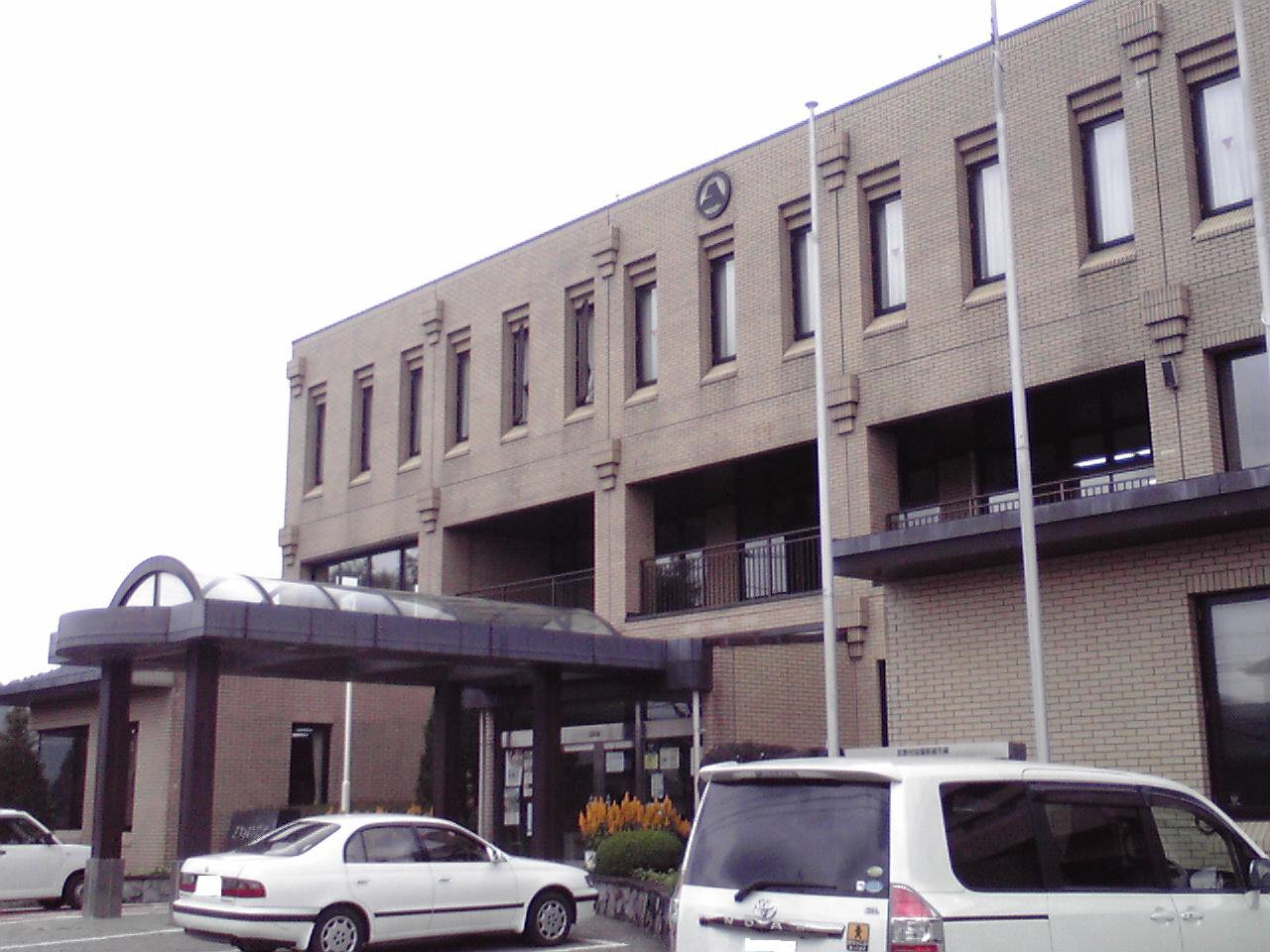


Oshino, Japan
忍野村
Oshino is a town of 9,710 people in Yamanashi, Japan, founded in July 1, 1889.
Why visit Oshino
Townapedia lists 10 museums and landmarks, 7 parks and trails, 25 places to eat, 31 places to stay and 13 attractions in and around town.
Highlights include 山梨県立富士湧水の里水族館 森の中の水族館。, Yamanashi Prefectural Fuji Spring-fed Village Aquarium, Oshino Hakkai and Arakurayama Sengen Park.
Weather in Oshino
Forecast from MET Norway (CC BY 4.0). Full forecast
About Oshino
Oshino (忍野村, Oshino-mura) is a village in Yamanashi Prefecture, Japan. As of 30 September 2020, the village has an estimated population of 9,817 in 4236 households, and a population density of 391,8 persons per km2. The total area of the village is 25.05 square kilometres (9.67 sq mi).
From the Wikipedia article Oshino, Yamanashi (this version), under CC BY-SA 4.0.
Things to do13

山梨県立富士湧水の里水族館 森の中の水族館。
Zoo and aquarium · 3.2 km
Jul-Sep 09:00-18:00; Oct-Jun 09:00-17:00; Tu,PH off; Dec 28-Jan 01 off
Yamanashi Prefectural Fuji Spring-fed Village Aquarium
Zoo and aquarium · 3.2 km
Aquarium in Yamanashi Prefecture, Japan



1 more on the map.
Museums and landmarks10



Parks, trails and playgrounds7






Restaurants and cafes25




13 more on the map.
History
During the Edo period, all of Kai Province was tenryō territory under direct control of the Tokugawa shogunate. With the establishment of the modern municipalities system in the early Meiji period on April 1, 1889, the village of Oshino was created within Minamitsuru District, Yamanashi Prefecture.
From the History section of Oshino, Yamanashi on Wikipedia, under CC BY-SA 4.0.
Where to stay31
Churches and places of worship14
Shopping5
Gas and EV charging1
Schools, colleges and libraries5
Healthcare1
Map of Oshino
112 places. The map loads OpenStreetMap tiles when you open it.
Getting there and nearby towns
United States Naval Air Facility Atsugi (NJA) is the nearest airport with scheduled flights listed in OpenStreetMap, 53 km away.
- Fujiyoshida 6 km west, about 6 min by car
- Tsuru 11 km northeast, about 11 min by car
- Fujikawaguchiko 16 km west, about 16 min by car
- Gotemba 17 km southeast, about 17 min by car
- Oyama 17 km southeast, about 17 min by car
- Ōtsuki 21 km northeast, about 21 min by car
- Yamakita 23 km southeast, about 23 min by car
- Fuefuki 28 km northwest, about 28 min by car
- Minamiashigara 28 km southeast, about 28 min by car
- Yamanashi 28 km northwest, about 28 min by car
Drive times are estimates from straight-line distance, not routes.
Local news
Headlines from INDB.
Reviews, tips and questions
Loading what members have shared...
Sources and licences
- GeoNames (CC BY 4.0): population, coordinates, regions and time zone
- OpenStreetMap contributors (ODbL 1.0): places, airports, map data
- Wikidata (CC0 1.0): elevation, founding date, time zone, website, landmarks and historic places
- Wikimedia Commons (see each image): photos
- Wikipedia (CC BY-SA 4.0): overview and history text
Photo credits
- Oshino Village Office, Miyuki Meinaka, Public domain
- Naka Pond, Oshino, Yamanashi, くろふね, CC BY 3.0
- Big ichii tree in Oshino-mura, Haya4, CC BY 4.0
- Oshino Village office, June 2015, On-chan, CC0
- Shibokusa, Oshino, Minamitsuru District, Yamanashi Prefecture 401-0511, Japan - panoramio (2), 肖红军, CC BY-SA 3.0
- Shibokusa, Oshino, Minamitsuru District, Yamanashi Prefecture 401-0511, Japan - panoramio (1), 肖红军, CC BY-SA 3.0
- 231028 Shobu-ike Oshino Hakkai springs Oshino Yamanashi pref Japan01s3, 663highland, CC BY-SA 4.0
- 231028 Shobu-ike Oshino Hakkai springs Oshino Yamanashi pref Japan02s3, 663highland, CC BY-SA 4.0
- 231028 Deguchi-ike Oshino Hakkai springs Oshino Yamanashi pref Japan02s3, 663highland, CC BY-SA 4.0
- 231028 Deguchi-ike Oshino Hakkai springs Oshino Yamanashi pref Japan01s3, 663highland, CC BY-SA 4.0
- 231028 Deguchi-ike Oshino Hakkai springs Oshino Yamanashi pref Japan05s3, 663highland, CC BY-SA 4.0
- 231028 Deguchi-ike Oshino Hakkai springs Oshino Yamanashi pref Japan06s3, 663highland, CC BY-SA 4.0
- 231028 Deguchi-ike Oshino Hakkai springs Oshino Yamanashi pref Japan04s3, 663highland, CC BY-SA 4.0
- 231028 Deguchi-ike Oshino Hakkai springs Oshino Yamanashi pref Japan03s3, 663highland, CC BY-SA 4.0
- 231028 At Shibokusa Oshino Yamanashi pref Japan05s3, 663highland, CC BY-SA 4.0
- A Water Mill at Oshino Hakkai - panoramio, Koichi Shibata, CC BY-SA 3.0
- Arakurayama Sengen Park - Japan, Otto Domes, CC BY-SA 4.0
- Fuji Spring Water Aquarium, Sakaori ( talk ), CC BY-SA 3.0
- Mount Shakushi (Doshi Mountains), Alpsdake, CC BY-SA 4.0
- 日向峰から見た石割山, Koda6029, CC BY-SA 4.0
- Hotel Mt Fuji from Mount Myojin, Alpsdake, CC BY-SA 4.0
- 石割神社と大岩, Koda6029, CC BY-SA 4.0
- Kaneyama Falls, Miyuki Meinaka, CC BY-SA 4.0
- 231028 Waku-ike Oshino Hakkai springs Oshino Yamanashi pref Japan01s3, 663highland, CC BY-SA 4.0
- Lake Yamanaka, RESPITE, Public domain
- Mt.Shishidome 01, Σ64, CC BY 3.0
- 花の都公園 - panoramio, funk bass, CC BY 3.0
- 内野浅間神社 03, Aspere, CC0
- 内野浅間神社 02, Aspere, CC0
- 内野浅間神社 01, Aspere, CC0
- 内野浅間神社 06, Aspere, CC0
- 内野浅間神社 05, Aspere, CC0
- Picea torano forest of Yamanakako village, Sakaori ( talk ), CC BY-SA 3.0
- Neolentinus lepideus 199649752, Atsushi Nakajima, CC BY 4.0
- Neolentinus lepideus 199649744, Atsushi Nakajima, CC BY 4.0
- Neolentinus lepideus 199649776, Atsushi Nakajima, CC BY 4.0
- Neolentinus lepideus 199649788, Atsushi Nakajima, CC BY 4.0
- Neolentinus lepideus 199649831, Atsushi Nakajima, CC BY 4.0
- Neolentinus lepideus 199649848, Atsushi Nakajima, CC BY 4.0
- Neolentinus lepideus 199649819, Atsushi Nakajima, CC BY 4.0


Page built November 5, 2026. Spotted a mistake? Tell us or suggest a place.