


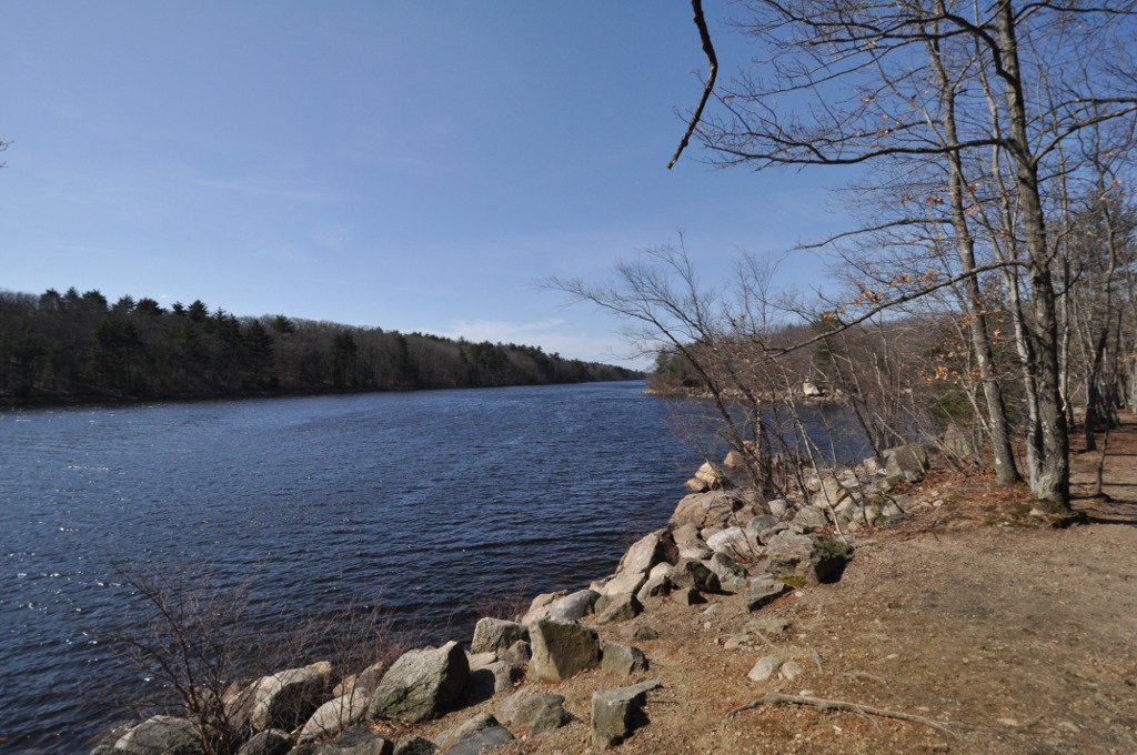


Lynn, Massachusetts
Lynn is a city of 101,709 people in Essex County, Massachusetts, founded in 1629.
Why visit Lynn
Townapedia lists 111 museums and landmarks, 93 parks and trails, 90 places to eat and 17 attractions in and around town.
Highlights include Neal Rantoul Vault Theatre, G.A.R. Hall and Museum of Lynn, MA, Capitol Diner and Lynn Woods Reservation.
July is the warmest month, with average highs of 80°F; January lows average 18°F, and about 39 inches of snow fall in a normal year.
Weather in Lynn
Forecast from the National Weather Service. Full forecast
About Lynn
Lynn is the eighth-largest municipality in Massachusetts, United States, and the largest city in Essex County. Situated on the Atlantic Ocean, 3.7 miles (6.0 km) north of the Boston city line at Suffolk Downs, Lynn is part of Greater Boston's urban inner core and is a major economic and cultural center of the North Shore.
From the Wikipedia article Lynn, Massachusetts (this version), under CC BY-SA 4.0.
Things to do17


5 more on the map.
Museums and landmarks111


Capitol Diner
Monument and historic site · Diner · National Register of Historic Places · 1.1 mi
Restaurant in Massachusetts, United States
431 Union Street, Lynn
Th-Sa 07:00-14:00; Su 07:00-13:00

Central Square Historic District
Monument and historic site · National Register of Historic Places · 1.0 mi
Historic district in Lynn, Massachusetts, United States

Mary Baker Eddy House
Monument and historic site · National Register of Historic Places · 1.5 mi
Historic house in Massachusetts, United States
8;12 Broad Street, Lynn

Pine Grove Cemetery
Monument and historic site · National Register of Historic Places
Cemetery in Lynn, Massachusetts, USA

Saugus Iron Works National Historic Site
Monument and historic site · National Register of Historic Places · 2.5 mi
Park in the United States of America

Saugus Town Hall
Monument and historic site · National Register of Historic Places · 2.6 mi
Historic town hall in Saugus, Massachusetts
298 Central Street, Saugus
St. Stephen's Memorial Episcopal Church
Monument and historic site · Episcopal · National Register of Historic Places · 0.8 mi
Church building in Massachusetts, United States of America


Bessie Monroe House
Monument and historic site · National Register of Historic Places · 4.8 mi
Historic house in Massachusetts, United States
Boardman House
Monument and historic site · National Register of Historic Places · 3.9 mi
Listed on the NRHP in Essex County
Bowker Place
Monument and historic site · National Register of Historic Places · 4.8 mi
Commercial building in Salem, Massachusetts, United States
Charles Lovejoy House
Monument and historic site · National Register of Historic Places · 1.4 mi
Historic house in Massachusetts, United States
99 more on the map.
Parks, trails and playgrounds93
Lynn Woods Reservation
Hiking and trails · National Register of Historic Places · 1.9 mi
106 Pennybrook Road, Lynn
Mo-Su 06:00-18:00




Sydneys Pond Conservation Area
Hiking and trails · 2.9 mi
80 Granite Street, Peabody
Mo-Su 07:30-18:45

81 more on the map.
Restaurants and cafes90

Mike's Place
Restaurant · Sandwich · 1.7 mi
From website: > Welcome to Mike's Place... We offer delicious sandwiches, full dinners and more! ... Stop by to check us out for a great...
237 Hamilton Street, Saugus
Mo-Sa 11:00-22:00; Su 11:00-21:00

Camilla's Cafe & Breakfast
Cafe · Brazilian, Coffee Shop, Smoothie, Bakery, Breakfast · 0.8 mi
66 Market Square, Lynn
Mo-Su 04:00-20:00
K Pub Kitchen & Bar
Restaurant · American, Asian · 1.8 mi
22 Lincoln Avenue, Saugus
Mo-We 11:30-22:00; Th 11:30-23:00; Fr-Sa 11:30-23:30; Su 12:00-22:00
Marao Burgers Saugus
Restaurant · Brazilian · 2.6 mi
1 Main Street, Saugus
Mo off; Tu-We 11:00-22:00; Th-Sa 11:00-23:00; Su 12:00-23:00

O-Yo Frozen Yogurt
Ice cream · Frozen Yogurt · 2.3 mi
136 Humphrey Street, Swampscott
Mo-Fr 12:00-22:00; Sa-Su 11:00-22:00
Old Tyme Italian Cuisine
Restaurant · Italian, American · 1.0 mi
612 Boston Street, Lynn
Mo 15:00-20:00; Tu-Fr 15:00-21:00; Sa 12:00-21:00; Su 13:00-20:00
Origen Café
Cafe · Coffee Shop, Smoothie · 0.6 mi
541 Chestnut Street, Lynn
Tu-Fr 08:00-18:00; Sa-Su 08:00-15:00
78 more on the map.
Churches and places of worship37
First Unitarian Church
Church · National Register of Historic Places · 3.9 mi
North Shore Islamic Center
Place of worship · Sunni · 1.5 mi
130;132 Essex Street
Chabad Lubavitch of the North Shore
Place of worship · Hasidic · 2.2 mi
44 Burrill Street
First Congregational Church of Swampscott
Church · United Church Of Christ · 2.2 mi
40 Monument Avenue
Kingdom Hall of Jehovah's Witnesses
Church · Jehovahs Witness · 0.5 mi
60 North Federal Street, Lynn
Shopping25
Gas and EV charging11
Schools, colleges and libraries92
Lynn Public Library
Library · National Register of Historic Places · 0.8 mi
5 North Common Street, Lynn
Healthcare4
Map of Lynn
250 places. The map loads OpenStreetMap tiles when you open it.
Climate by month
Monthly table
| Month | High | Low | Rain | Snow |
|---|---|---|---|---|
| Jan | 36°F | 18°F | 3.8 in | 13.3 in |
| Feb | 38°F | 20°F | 3.5 in | 8.5 in |
| Mar | 44°F | 26°F | 4.7 in | 7.5 in |
| Apr | 55°F | 36°F | 4.3 in | 1.5 in |
| May | 65°F | 45°F | 3.5 in | 0.0 in |
| Jun | 74°F | 54°F | 4.1 in | 0.0 in |
| Jul | 80°F | 61°F | 3.5 in | 0.0 in |
| Aug | 79°F | 60°F | 3.2 in | 0.0 in |
| Sep | 72°F | 53°F | 3.6 in | 0.0 in |
| Oct | 61°F | 42°F | 5.0 in | 0.1 in |
| Nov | 51°F | 33°F | 4.2 in | 0.8 in |
| Dec | 42°F | 24°F | 4.7 in | 7.4 in |
U.S. Climate Normals 1991-2020 for Marblehead (5 mi away), NOAA NCEI.
People and cost of living
American Community Survey 5-year estimates, 2020-2024, U.S. Census Bureau. Estimates have margins of error, larger for small towns.
Disaster history
Essex County has had 26 federal disaster declarations since 2000, most often for severe storms.
- 2023-09-15: Hurricane Lee (Hurricane)
- 2020-03-27: Covid-19 Pandemic (Biological)
- 2020-03-13: Covid-19 (Biological)
- 2018-07-19: Severe Winter Storm And Snowstorm (Snowstorm)
- 2018-06-25: Severe Winter Storm And Flooding (Severe Storm)
- 2015-04-13: Severe Winter Storm, Snowstorm, And Flooding (Severe Storm)
OpenFEMA disaster declarations summaries.
Getting there and nearby towns
Beverly Municipal Airport (BVY) is the nearest airport with scheduled flights listed in OpenStreetMap, 8 miles away.
- Saugus 3 mi west, about 4 min by car
- Salem 4 mi northeast, about 6 min by car
- Boston 10 mi south, about 16 min by car
- Cambridge 11 mi southwest, about 17 min by car
- Quincy 15 mi south, about 24 min by car
- Lowell 22 mi northwest, about 35 min by car
- Brockton 27 mi south, about 44 min by car
- Manchester 43 mi northwest, about 1 h 15 min by car
- Worcester 45 mi west, about 1 h 15 min by car
- Providence 51 mi southwest, about 1 h 15 min by car
Drive times are estimates from straight-line distance, not routes.
Local news
Headlines from INDB, the NEMICO news database.
Reviews, tips and questions
Loading what members have shared...
Sources and licences
- NCES EDGE (Public domain): public schools
- NOAA NCEI U.S. Climate Normals 1991-2020 (Public domain): climate by month
- OpenFEMA (Public domain): disaster declarations
- OpenStreetMap contributors (ODbL 1.0): places, airports, map data
- U.S. Census Bureau (Public domain): population, income, housing, education, commute
- Wikidata (CC0 1.0): elevation, founding date, time zone, website, landmarks and historic places
- Wikimedia Commons (see each image): photos
- Wikipedia (CC BY-SA 4.0): overview and history text
Photo credits
- Lynn City Hall MA 01, Jameslwoodward, CC BY-SA 3.0
- Lynn Public Library MA 01, Jameslwoodward, CC BY-SA 3.0
- LynnWoods WaldenPond, User:Magicpiano, CC BY-SA 4.0
- Saugus Iron Mill, Daderot at English Wikipedia, CC BY-SA 3.0
- Saugus Town Hall, Fletcher6, CC BY-SA 3.0
- St Stephens Church Lynn, MA 01, Jameslwoodward, CC BY-SA 3.0
- Lynn Central Square, Marcbela (Marc N. Belanger), Public domain
- LynnMA PineGroveCemetery Chapel, User:Magicpiano, CC BY-SA 4.0
- Capitoldiner, Ethomsen, CC BY-SA 3.0
- Elihu Thomson House - Swampscott, MA, Daderot at English Wikipedia, CC BY-SA 3.0
- Lynn Realty Company Building No. 2, Lynn MA, John Phelan, CC BY 3.0
- PeabodyMA SamuelBrownSchool, User:Magicpiano, CC BY-SA 4.0
- Bessie Monroe House, Fletcher6, CC BY-SA 3.0
- First Universalist Church, Salem MA, John Phelan, CC BY 3.0
- US Post Office, Nahant MA, John Phelan, CC BY 3.0
- Nahant Beach Boulevard MA, Jameslwoodward, CC BY-SA 3.0
- Old Post Office Building, Lynn MA, John Phelan, CC BY 3.0


Page built October 30, 2026. Spotted a mistake? Tell us or suggest a place.