
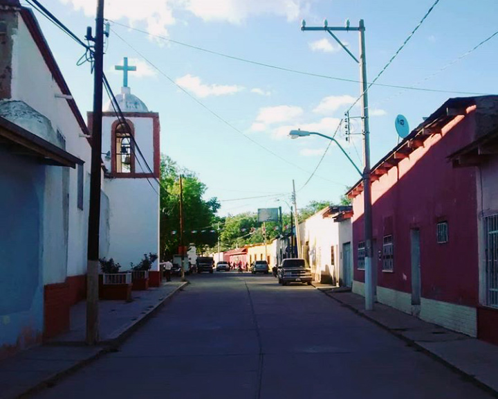

Pueblito de Allende, Mexico
Pueblito de Allende is a town of 1,381 people in Chihuahua, Mexico.
Loading the weather...
Population1,381
GeoNames
RegionChihuahua
Elevation1,559 m
5,115 ft
Time zoneAmerica/Chihuahua
Weather in Pueblito de Allende
Forecast from MET Norway (CC BY 4.0). Full forecast
Map of Pueblito de Allende
0 places. The map loads OpenStreetMap tiles when you open it.
Getting there and nearby towns
- Valle de Ignacio Allende 9 km southwest, about 9 min by car
- Talamantes 14 km southwest, about 14 min by car
- Octaviano López 29 km east, about 29 min by car
- José Esteban Coronado 33 km southeast, about 33 min by car
- Santa María 32 km east, about 32 min by car
- Hidalgo del Parral 34 km west, about 34 min by car
- Mariano Matamoros 36 km southwest, about 36 min by car
- Santa Bárbara 53 km southwest, about 53 min by car
- San Francisco del Oro 54 km west, about 54 min by car
- Santa Rosalía de Camargo 78 km north, about 1 h 15 min by car
Drive times are estimates from straight-line distance, not routes.
Local news
Headlines from INDB.
Reviews, tips and questions
Loading what members have shared...
Sources and licences
- GeoNames (CC BY 4.0): population, coordinates, regions and time zone
- Wikidata (CC0 1.0): elevation, founding date, time zone, website
- Wikimedia Commons (see each image): photos
Photo credits
- Pueblito de Allende, Chihuahua, MikSed, CC BY 4.0
Page built November 4, 2026. Spotted a mistake? Tell us or suggest a place.