


San Pablo Villa de Mitla, Mexico
San Pablo Villa de Mitla is a town of 8,167 people in Oaxaca, Mexico.
Why visit San Pablo Villa de Mitla
Townapedia lists 15 museums and landmarks, 1 park or trail, 10 places to eat, 10 places to stay and 2 attractions in and around town.
Highlights include Gheo-shih and Guilá Naquitz Cave.
Weather in San Pablo Villa de Mitla
Forecast from MET Norway (CC BY 4.0). Full forecast
About San Pablo Villa de Mitla
San Pablo Villa de Mitla is a town and municipality in Mexico that is most famous for being the site of the Mitla archeological ruins.
From the Wikipedia article San Pablo Villa de Mitla (this version), under CC BY-SA 4.0.
Things to do2

Museums and landmarks15

Gheo-shih
Monument and historic site · 7.0 km
Archaeological site in Mexico
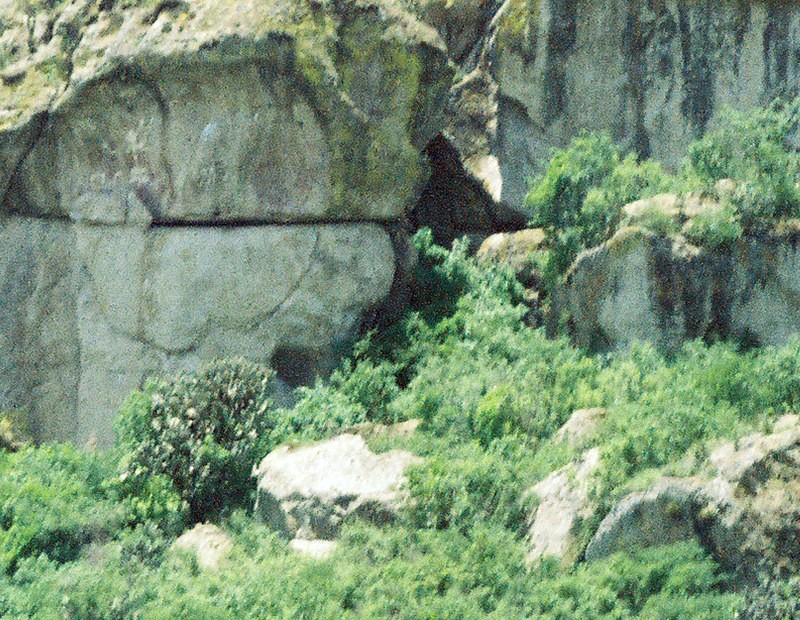
Guilá Naquitz Cave
Monument and historic site · 8.3 km
Site of early domestication of several food crops in Oaxaca, Mexico


Yagul
Monument and historic site · 10.1 km
Archaeological site and former city-state associated with the Zapotec civilization of pre-Columbian Mesoamerica, located in the Mexican...

Zona arqueológica de Mitla - Grupo del Arroyo
Monument and historic site



3 more on the map.
Parks, trails and playgrounds1

Restaurants and cafes10

Doña Chica
Restaurant · Mexican
41 Morelos, San Pablo Villa de Mitla
Mo-Su 10:00-20:00

FABRICA DE MEZCAL EL FAMOSO
Bar and pub · 6.2 km
KM 49 Carretera Federal Oaxaca - Tehuantepec, SANTIAGO MATATLAN TLACOLULA OAXACA
MEZCAL EL FAMOSO
Bar and pub · 6.2 km
KM 49 Carretera Federal Oaxaca - Tehuantepec, SANTIAGO MATATLAN TLACOLULA OAXACA

Where to stay10
Hotel Carmelita Mitla
Motel and hotel
4 Ave. Benito Juárez, San Pablo Villa de Mitla
Mitla Backpacker
Motel and hotel · 0.9 km
5 Avenida Lazaro Cardena, San Pablo Villa de Mitla
Churches and places of worship2
Gas and EV charging1
Schools, colleges and libraries1
Map of San Pablo Villa de Mitla
42 places. The map loads OpenStreetMap tiles when you open it.
Getting there and nearby towns
Aeropuerto Internacional Xoxocotlán (OAX) is the nearest airport with scheduled flights listed in OpenStreetMap, 40 km away.
- Xaagá 4 km southeast, about 4 min by car
- Unión Zapata 5 km west, about 5 min by car
- Santiago Matatlán 7 km south, about 7 min by car
- Villa Díaz Ordaz 11 km northwest, about 11 min by car
- San Lorenzo Albarradas 11 km east, about 11 min by car
- San Lucas Quiaviní 12 km west, about 12 min by car
- Tlacolula de Matamoros 13 km west, about 13 min by car
- Santa María del Tule 32 km northwest, about 32 min by car
- Oaxaca 42 km west, about 42 min by car
- Cuilápam de Guerrero 45 km west, about 45 min by car
Drive times are estimates from straight-line distance, not routes.
Local news
Headlines from INDB.
Reviews, tips and questions
Loading what members have shared...
Sources and licences
- GeoNames (CC BY 4.0): population, coordinates, regions and time zone
- OpenStreetMap contributors (ODbL 1.0): places, airports, map data
- Wikidata (CC0 1.0): elevation, founding date, time zone, website, landmarks and historic places
- Wikimedia Commons (see each image): photos
- Wikipedia (CC BY-SA 4.0): overview and history text
Photo credits
- Eglise San Paolo Mitla, No machine-readable author provided. Kornemuz assumed (based on copyright claims)., CC BY-SA 3.0
- Mototaxis en San Pablo Villa de Mitla, Oaxaca 01, Isaacvp, CC BY-SA 4.0
- Mototaxis en San Pablo Villa de Mitla, Oaxaca 02, Isaacvp, CC BY-SA 4.0
- Anuncio rústico de Coca Cola en San Pablo Villa de Mitla, Oaxaca 01, Isaacvp, CC BY-SA 4.0
- Anuncio rústico de Coca Cola en San Pablo Villa de Mitla, Oaxaca 02, Isaacvp, CC BY-SA 4.0
- Guila Naquitz cave, No machine-readable author provided. JerryFriedman assumed (based on copyright claims)., CC BY-SA 2.5
- BestConservedBuilding-Mitla-Oaxaca-Mexico, User:Gengiskanhg, CC BY-SA 3.0
- Zona Arqueológica de Yagul, México en Fotos, CC BY-SA 2.0
- 12-05oaxaca076, Uploaded into English Wikipedia by en:User:Bobak Ha'Eri, CC BY 2.0
- Young Couple in Plaza - Mitla - Oaxaca - Mexico (15158724849), Adam Jones from Kelowna, BC, Canada, CC BY-SA 2.0
- FrissellMuseumBldgMitla, Thelmadatter, CC BY-SA 3.0
- ClocktowerMitla, Thelmadatter, CC BY-SA 3.0
- Municipal Building - Mitla - Oaxaca - Mexico (15342337941), Adam Jones from Kelowna, BC, Canada, CC BY-SA 2.0
- BridgeMitla, Thelmadatter, CC BY-SA 3.0
- ArroyoMitla, Thelmadatter, CC BY-SA 3.0
- Bardas de Baile, Oaxaca - 20 Jun Autentica, Alexis Dworsky, CC BY-SA 4.0
- Pared interior el palcio dos, Lsalgador82, CC BY-SA 3.0
- Patio Central, Elopezb, CC BY-SA 3.0
- Mitla 1, Joeldesalvatierra, CC BY-SA 3.0
- Piramide esquina, Lsalgador82, CC BY-SA 3.0
- Esquina ruinas iglesia, Lsalgador82, CC BY-SA 3.0
- El Grupo de la Iglesia o del Norte, Ihiroalfonso, CC BY-SA 3.0
- El palacio vista esquina patio, Lsalgador82, CC BY-SA 3.0
- Interior del Grupo del Norte, Ihiroalfonso, CC BY-SA 3.0
- Patio en el Grupo del Norte, Ihiroalfonso, CC BY-SA 3.0
- Cúpulas y grecas Mitla, Cjuanpavon, CC BY-SA 3.0
- Gracas y cielo, Lsalgador82, CC BY-SA 3.0
- Paisaje vista mitla, Lsalgador82, CC BY-SA 3.0
- Esquina mitla, Lsalgador82, CC BY-SA 3.0
- Piramide entrada mitla, Lsalgador82, CC BY-SA 3.0
- Zona Arquelógica Mitla, Oaxaca., Mechitas, CC BY-SA 3.0
- Vista al Grupo de las Columnas, Ihiroalfonso, CC BY-SA 3.0
- Plaza en el Grupo de las Columnas, Ihiroalfonso, CC BY-SA 3.0
- Grecas, Ihiroalfonso, CC BY-SA 3.0
- Mitla 2, Joeldesalvatierra, CC BY-SA 3.0
- Entrada a Zona Arqueológica de Mitla, Ihiroalfonso, CC BY-SA 3.0
- Vista al Templo de San Pablo Apóstol, Ihiroalfonso, CC BY-SA 3.0
- Piramide mitla, Lsalgador82, CC BY-SA 3.0
- Las columnas, Lsalgador82, CC BY-SA 3.0
- Grecas en el Grupo de las Columnas, Ihiroalfonso, CC BY-SA 3.0
- Acceso Tumba 1, DavidConFran, CC BY-SA 3.0


Page built November 4, 2026. Spotted a mistake? Tell us or suggest a place.