

Unidad Habitacional José María Morelos y Pavón, Mexico
José María Morelos y Pavón
Unidad Habitacional José María Morelos y Pavón is a town of 10,625 people in Morelos, Mexico.
Why visit Unidad Habitacional José María Morelos y Pavón
Townapedia lists 1 museum or landmark, 1 park or trail and 1 attraction in and around town.
Highlights include Monterrey Institute of Technology and Higher Education, Cuernavaca and Xochicalco.
Weather in Unidad Habitacional José María Morelos y Pavón
Forecast from MET Norway (CC BY 4.0). Full forecast
Things to do1


Monterrey Institute of Technology and Higher Education, Cuernavaca
School · 4.6 km
University and high school campus
Museums and landmarks1
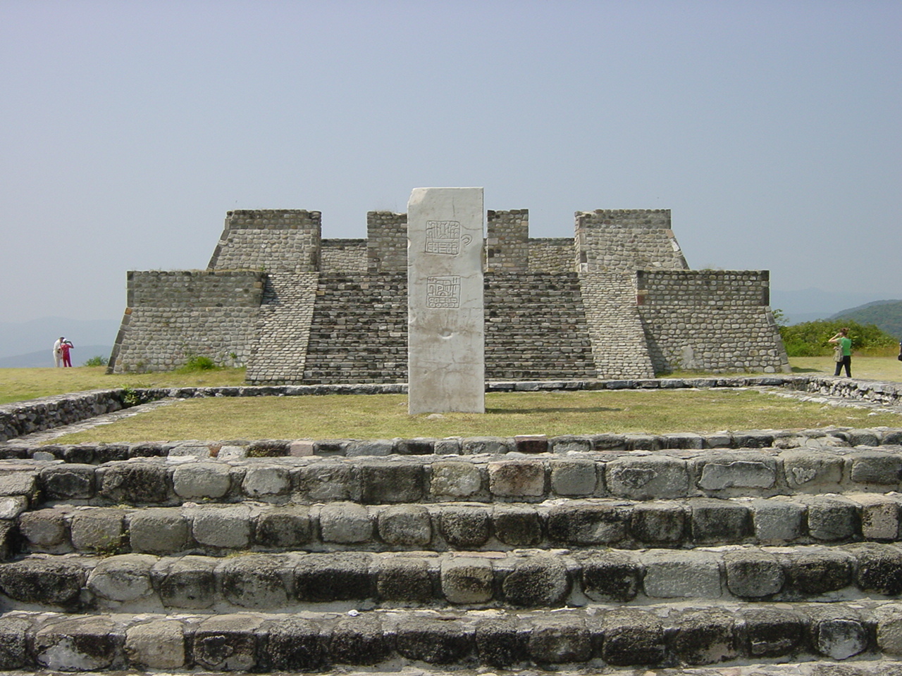
Xochicalco
Monument and historic site · 4.0 km
UNESCO World Heritage Site
Parks, trails and playgrounds1

Churches and places of worship1

Schools, colleges and libraries4
Escuela Primaria Fausto Molina Betancourt / Narciso Mendoza
School · 2.1 km
Calle Insurgentes, Rubén Jaramillo
Colegio de Bachilleres del Estado de Morelos Plantel 12 Xochitepec
School · 2.2 km
Healthcare2
Centro de Salud La Nopalera
Clinic and pharmacy · 2.0 km
Insurgentes, Rubén Jaramillo
Map of Unidad Habitacional José María Morelos y Pavón
10 places. The map loads OpenStreetMap tiles when you open it.
Getting there and nearby towns
General Mariano Matamoros International Airport (CVJ) is the nearest airport with scheduled flights listed in OpenStreetMap, 2 km away.
- Temixco 5 km northeast, about 5 min by car
- Cuernavaca 12 km north, about 12 min by car
- Tepoztlán 25 km northeast, about 25 min by car
- Cuautla 32 km east, about 32 min by car
- Santiago Tianguistenco de Galeana 46 km northwest, about 46 min by car
- Taxco de Alarcón 46 km southwest, about 46 min by car
- Xochimilco 51 km north, about 51 min by car
- Tlalpan 54 km north, about 54 min by car
- Iguala de la Independencia 60 km southwest, about 1 h by car
- Mexico City 69 km north, about 1 h 15 min by car
Drive times are estimates from straight-line distance, not routes.
Local news
Headlines from INDB.
Reviews, tips and questions
Loading what members have shared...
Sources and licences
- GeoNames (CC BY 4.0): population, coordinates, regions and time zone
- OpenStreetMap contributors (ODbL 1.0): places, airports, map data
- Wikidata (CC0 1.0): elevation, founding date, time zone, website, landmarks and historic places
- Wikimedia Commons (see each image): photos
Photo credits
- Bosque central itesm cva, Self-made, Public domain
- Mexico xochicalco pyramids, Maxtreiber, Public domain
Page built November 4, 2026. Spotted a mistake? Tell us or suggest a place.