


Why visit Peosta
Townapedia lists 4 parks and trails, 7 places to eat and 1 place to stay in and around town.
Highlights include Thunder Hills Country Club.
July is the warmest month, with average highs of 82°F; January lows average 11°F, and about 42 inches of snow fall in a normal year.
Weather in Peosta
Forecast from the National Weather Service. Full forecast
About Peosta
Peosta is a city in Dubuque County, Iowa, United States, and an exurb of the city of Dubuque. It is part of the Dubuque, Iowa Metropolitan Statistical Area. The population was 1,908 in the 2020 census, an increase of 193% from 651 in 2000. Peosta experienced a 70% increase in population (estimated) from 2000 to 2007, making it the state's 10th fastest-growing city during that period.
From the Wikipedia article Peosta, Iowa (this version), under CC BY-SA 4.0.
Parks, trails and playgrounds4





Restaurants and cafes7



Where to stay1

Churches and places of worship1

History
Peosta is named after the leader of a local Native American people that once lived in Dubuque County. Chief Peosta, of the Meskwaki people, was a close friend of Julien Dubuque, one of the first European settlers in the area. Dubuque was also the founder of the City of Dubuque, Iowa, and was allegedly married to Chief Peosta's daughter, who was reportedly named "Potosa".
For most of its history, and even as recently as 1990, Peosta was a quiet rural town of approximately 100 people. A post office opened in Peosta in 1858. The groundwork for later growth was laid in the 1960s, when the new four-lane U.S. Route 20 opened along the city's southern edge, providing quick access to Dubuque. The city was also aided by the opening of Northeast Iowa Technical Institute (later NICC) in 1979. However, it was only when the city's industrial park began to flourish in the 1990s that the population began to soar. Peosta grew from 128 people in 1990 to over 1,300 today, and it continues to climb rapidly. This 1000% growth in 20 years has helped attract new businesses and services to Peosta as well. The city now boasts two elementary schools, its own community center, hotel, church, industrial park and expanding neighborhoods.
From the History section of Peosta, Iowa on Wikipedia, under CC BY-SA 4.0.
Shopping1
Gas and EV charging2
Schools, colleges and libraries4
Healthcare1
UnityPoint Clinic Family Medicine and Walk-In Care
Clinic and pharmacy · 0.4 mi
8456 Peosta Commercial Court, Peosta
Map of Peosta
21 places. The map loads OpenStreetMap tiles when you open it.
Climate by month
Monthly table
| Month | High | Low | Rain | Snow |
|---|---|---|---|---|
| Jan | 26°F | 11°F | 1.3 in | 10.7 in |
| Feb | 31°F | 15°F | 1.6 in | 10.6 in |
| Mar | 44°F | 26°F | 2.2 in | 5.7 in |
| Apr | 58°F | 37°F | 4.1 in | 1.9 in |
| May | 69°F | 48°F | 4.3 in | 0.0 in |
| Jun | 78°F | 59°F | 5.2 in | 0.0 in |
| Jul | 82°F | 62°F | 4.8 in | 0.0 in |
| Aug | 80°F | 60°F | 4.0 in | 0.0 in |
| Sep | 73°F | 52°F | 3.8 in | 0.0 in |
| Oct | 60°F | 40°F | 2.9 in | 0.5 in |
| Nov | 45°F | 28°F | 2.2 in | 2.8 in |
| Dec | 32°F | 17°F | 1.8 in | 10.3 in |
U.S. Climate Normals 1991-2020 for Dubuque Rgnl Ap 72547 (8 mi away), NOAA NCEI.
People and cost of living
American Community Survey 5-year estimates, 2020-2024, U.S. Census Bureau. Estimates have margins of error, larger for small towns.
Disaster history
Dubuque County has had 12 federal disaster declarations since 2000, most often for severe storms.
- 2024-06-24: Severe Storms, Flooding, Straight-Line Winds, And Tornadoes (Severe Storm)
- 2023-08-25: Flooding (Flood)
- 2020-03-23: Covid-19 Pandemic (Biological)
- 2020-03-13: Covid-19 (Biological)
- 2017-08-27: Severe Storms, Tornadoes, Straight-Line Winds, And Flooding (Severe Storm)
- 2011-08-30: Severe Storms And Flooding (Severe Storm)
OpenFEMA disaster declarations summaries.
Getting there and nearby towns
Dubuque Regional Airport (DBQ) is the nearest airport with scheduled flights listed in OpenStreetMap, 7 miles away.
- Epworth 5 mi west, about 7 min by car
- Asbury 5 mi northeast, about 9 min by car
- Dubuque 8 mi northeast, about 12 min by car
- Farley 9 mi west, about 14 min by car
- East Dubuque 11 mi east, about 18 min by car
- Dyersville 14 mi west, about 23 min by car
- Galena 21 mi east, about 34 min by car
- Monticello 23 mi southwest, about 37 min by car
- Bellevue 25 mi southeast, about 40 min by car
- Platteville 27 mi northeast, about 44 min by car
Drive times are estimates from straight-line distance, not routes.
Local news
Headlines from INDB, the NEMICO news database.
Reviews, tips and questions
Loading what members have shared...
Sources and licences
- NCES EDGE (Public domain): public schools
- NOAA NCEI U.S. Climate Normals 1991-2020 (Public domain): climate by month
- OpenFEMA (Public domain): disaster declarations
- OpenStreetMap contributors (ODbL 1.0): places, airports, map data
- U.S. Census Bureau (Public domain): population, income, housing, education, commute
- Wikidata (CC0 1.0): elevation, founding date, time zone, website
- Wikimedia Commons (see each image): photos
- Wikipedia (CC BY-SA 4.0): overview and history text
Photo credits
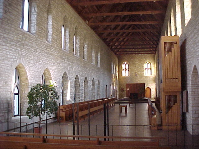
- New Melleray chapel 2, Lambert OP, CC BY-SA 3.0
- Peosta Tower 2 - panoramio, Corey Coyle, CC BY 3.0
- Swiss Colony® Peosta Fulfillment Facility - panoramio, Corey Coyle, CC BY 3.0
- Peosta Tower 3 - panoramio, Corey Coyle, CC BY 3.0
- Quality Inn® ^ Suites - panoramio, Corey Coyle, CC BY 3.0
Page built October 30, 2026. Spotted a mistake? Tell us or suggest a place.