


Why visit Anda
Townapedia lists 2 parks and trails and 1 attraction in and around town.
Weather in Anda
Forecast from MET Norway (CC BY 4.0). Full forecast
About Anda
Anda, officially the Municipality of Anda (Bolinao: Babali nin Anda; Pangasinan: Baley na Anda; Ilocano: Ili ti Anda; Tagalog: Bayan ng Anda), is a municipality in the province of Pangasinan, Philippines. It is primarily situated on Cabarruyan Island. According to the 2024 census, it has a population of 42,688 people.
From the Wikipedia article Anda, Pangasinan (this version), under CC BY-SA 4.0.
Things to do1

Parks, trails and playgrounds2

Churches and places of worship8

Gas and EV charging2



History
Before the middle of the nineteenth century, the islands that compose the municipality were uninhabited. Only occasionally did seafarers and fishermen use the coast as safe havens.
Andres de la Cruz Cacho, fondly called in Bolinao as Andales Kulayo, discovered a vast tract of land suitable for grazing and fertile lowlands, and an abundant spring for agriculture. It was he who brought families from the town of Bolinao aboard a big boat and dispersed them on the island of Cabarruyan in 1842. The settlers rapidly spread across the island.
On May 10, 1842, the pioneers landed on what is now the barrio of Dolaoan, put up a settlement, and chose San Miguel Arcangel as their patron saint. On May 25, 1842, they established Carot and Cabungan, with Santa Lucia as the common patroness of the two settlements. Later, on June 1, 1842, Tondol was founded. Sablig and Macaleeng were settled later that month.
From the History section of Anda, Pangasinan on Wikipedia, under CC BY-SA 4.0.
Schools, colleges and libraries35
Map of Anda
48 places. The map loads OpenStreetMap tiles when you open it.
Getting there and nearby towns
San Fernando Airport (SFE) is the nearest airport with scheduled flights listed in OpenStreetMap, 51 km away.
- Alaminos 15 km south, about 15 min by car
- Mabini 24 km south, about 24 min by car
- Labrador 36 km southeast, about 36 min by car
- Lingayen 42 km southeast, about 42 min by car
- Binmaley 44 km southeast, about 44 min by car
- Aringay 45 km east, about 45 min by car
- Bauang 49 km northeast, about 49 min by car
- Dagupan 49 km southeast, about 49 min by car
- Calasiao 54 km southeast, about 54 min by car
- San Fernando 53 km northeast, about 53 min by car
Drive times are estimates from straight-line distance, not routes.
Local news
Headlines from INDB.
Reviews, tips and questions
Loading what members have shared...
Sources and licences
- GeoNames (CC BY 4.0): population, coordinates, regions and time zone
- Mapillary (see each image): photos
- OpenStreetMap contributors (ODbL 1.0): places, airports, map data
- Wikidata (CC0 1.0): elevation, founding date, time zone, website
- Wikimedia Commons (see each image): photos
- Wikipedia (CC BY-SA 4.0): overview and history text
Photo credits
- Anda Municipal Hall, Self, CC BY 3.0
- ISS057-E-28247 - View of Earth, Earth Science and Remote Sensing Unit, NASA Johnson Space Center, Public domain
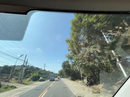
- Street-level photo, Prof_Pickell, CC BY-SA 4.0
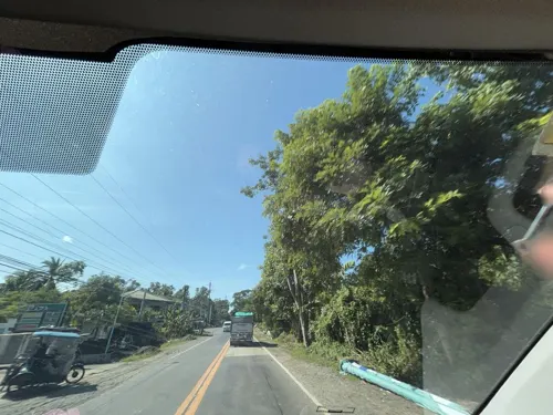
- Street-level photo, Prof_Pickell, CC BY-SA 4.0
Page built November 7, 2026. Spotted a mistake? Tell us or suggest a place.