
Why visit Balingasay
Townapedia lists 1 museum or landmark, 3 places to eat and 6 places to stay in and around town.
Weather in Balingasay
Forecast from MET Norway (CC BY 4.0). Full forecast
Museums and landmarks1
Restaurants and cafes3

Sungayan Grill and Floating Restaurant
Restaurant · Regional
Balingasay Road, Balingasay
Where to stay6
Bolinao Transient House (09178227185)
Motel and hotel
Price starts at 600/head in our semi private rooms fan only. Air-con Room price starts at 1580 for 2 pax and additional 600 / head in...
916 Balingasay Road, Bolinao,Pangasinan

Churches and places of worship2

Gas and EV charging1
Schools, colleges and libraries3
Healthcare1
Map of Balingasay
17 places. The map loads OpenStreetMap tiles when you open it.
Getting there and nearby towns
San Fernando Airport (SFE) is the nearest airport with scheduled flights listed in OpenStreetMap, 54 km away.
- Alaminos 26 km southeast, about 26 min by car
- Mabini 33 km south, about 33 min by car
- Labrador 48 km southeast, about 48 min by car
- Aringay 53 km east, about 53 min by car
- Bauang 54 km east, about 54 min by car
- Lingayen 55 km southeast, about 55 min by car
- San Fernando 57 km northeast, about 57 min by car
- Binmaley 57 km southeast, about 57 min by car
- Dagupan 62 km southeast, about 1 h by car
- Calasiao 66 km southeast, about 1 h by car
Drive times are estimates from straight-line distance, not routes.
Local news
Headlines from INDB.
Reviews, tips and questions
Loading what members have shared...
Sources and licences
- GeoNames (CC BY 4.0): population, coordinates, regions and time zone
- Mapillary (see each image): photos
- OpenStreetMap contributors (ODbL 1.0): places, airports, map data
- Wikidata (CC0 1.0): elevation, founding date, time zone, website
Photo credits
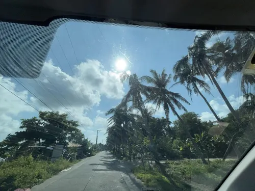
- Street-level photo, Prof_Pickell, CC BY-SA 4.0
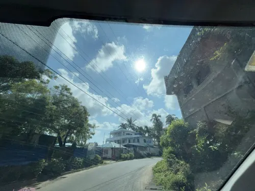
- Street-level photo, Prof_Pickell, CC BY-SA 4.0
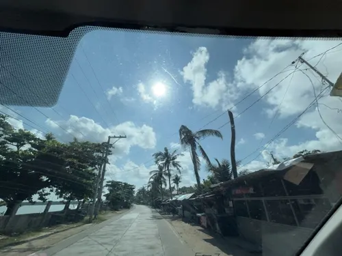
- Street-level photo, Prof_Pickell, CC BY-SA 4.0
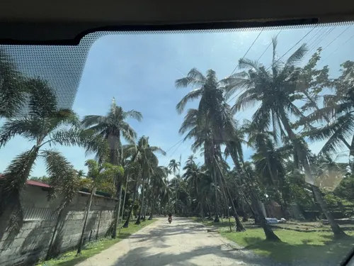
- Street-level photo, Prof_Pickell, CC BY-SA 4.0
- Street-level photo, Prof_Pickell, CC BY-SA 4.0
- Street-level photo, Prof_Pickell, CC BY-SA 4.0
- Street-level photo, Prof_Pickell, CC BY-SA 4.0
- Street-level photo, Prof_Pickell, CC BY-SA 4.0
Page built November 7, 2026. Spotted a mistake? Tell us or suggest a place.