


Balutakay, Philippines
Balutakay is a town of 2,817 people in Davao Region, Philippines.
Why visit Balutakay
Townapedia lists 58 places to eat and 6 places to stay in and around town.
Weather in Balutakay
Forecast from MET Norway (CC BY 4.0). Full forecast
Restaurants and cafes58

Kookel's Digos
Restaurant · Filipino, Lechon Manok, Crispy Liempo, Pancit Canton, Lomi, Lumpia Shanghai · 2.4 km
Canteen Rizal Avenue, Digos City
Mo-Su 10:00-22:00
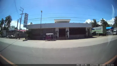
Jekoy's Inn and Resto Bar
Bar and pub · 0.7 km
Rizal Avenue, Digos City
17:00-01:00



46 more on the map.
Where to stay6



Churches and places of worship5


Shopping10



Gas and EV charging13
Schools, colleges and libraries14
Isaac Abalayan Elementary School
School · 1.5 km
Isaac Abalayan Street, Digos City
Royal Valley SDA Elementary School of Davao Mission
School · 1.1 km
Rizal Avenue, Digos City
Healthcare15
Tongcos-Riveral Medical & Surgical Clinic
Clinic and pharmacy · 2.4 km
Rizal Avenue, Digos City
Mahogany Medical and Pharmaceutical Supplies Drug Testing Center
Clinic and pharmacy · 2.2 km
Map of Balutakay
121 places. The map loads OpenStreetMap tiles when you open it.
Getting there and nearby towns
Francisco Bangoy International Airport (DVO) is the nearest airport with scheduled flights listed in OpenStreetMap, 55 km away.
- Digos 3 km north, about 3 min by car
- Hagonoy 5 km southwest, about 5 min by car
- Padada 9 km south, about 9 min by car
- Matanao 12 km southwest, about 12 min by car
- Sulop 14 km south, about 14 min by car
- Malalag 15 km south, about 15 min by car
- Bansalan 17 km northwest, about 17 min by car
- Magsaysay 19 km west, about 19 min by car
- Makilala 38 km northwest, about 38 min by car
- Davao 49 km northeast, about 49 min by car
Drive times are estimates from straight-line distance, not routes.
Local news
Headlines from INDB.
Reviews, tips and questions
Loading what members have shared...
Sources and licences
- GeoNames (CC BY 4.0): population, coordinates, regions and time zone
- Mapillary (see each image): photos
- OpenStreetMap contributors (ODbL 1.0): places, airports, map data
- Wikidata (CC0 1.0): elevation, founding date, time zone, website, landmarks and historic places
- Wikimedia Commons (see each image): photos
Photo credits
- Digos Poblacion, Roxas Street-Lim NB drone (Digos, Davao Del Sur; 03-24-2026), Patrickroque01, CC BY-SA 4.0
- Digos City exit - panoramio, Kenneth Rangas, CC BY 3.0
- Street-level photo, Kaart---LEFT, CC BY-SA 4.0
- Street-level photo, Kaart---LEFT, CC BY-SA 4.0
- Street-level photo, Kaart---LEFT, CC BY-SA 4.0
- Street-level photo, Kaart---RIGHT, CC BY-SA 4.0
- Street-level photo, Kaart---FRONT, CC BY-SA 4.0
- Street-level photo, Kaart---RIGHT, CC BY-SA 4.0
- Street-level photo, Kaart---RIGHT, CC BY-SA 4.0
- Street-level photo, Kaart---FRONT, CC BY-SA 4.0
- Street-level photo, Kaart---LEFT, CC BY-SA 4.0
- Street-level photo, Kaart---LEFT, CC BY-SA 4.0
- Street-level photo, Kaart---FRONT, CC BY-SA 4.0
- Street-level photo, Kaart---RIGHT, CC BY-SA 4.0
- Street-level photo, Kaart---FRONT, CC BY-SA 4.0
- Street-level photo, Kaart---LEFT, CC BY-SA 4.0
- Street-level photo, Kaart---FRONT, CC BY-SA 4.0
- Street-level photo, Kaart---FRONT, CC BY-SA 4.0
- Street-level photo, Kaart---LEFT, CC BY-SA 4.0
Page built November 7, 2026. Spotted a mistake? Tell us or suggest a place.