


Why visit Biga
Townapedia lists 4 museums and landmarks, 13 parks and trails, 14 places to eat, 6 places to stay and 1 attraction in and around town.
Highlights include General Jose Ignacio Paua and Washington Place Serenity Garden.
Weather in Biga
Forecast from MET Norway (CC BY 4.0). Full forecast
Things to do1

Museums and landmarks4

General Jose Ignacio Paua
Monument and historic site · 1.5 km
Aguinaldo Highway, Silang
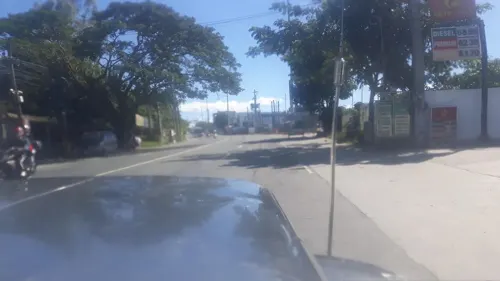
Dasmariñas City Welcome Arch
Monument and historic site · 0.7 km
City of Dasmariñas;Home of the Paru-Paro Festival;Arch of Respect
Aguinaldo Highway, Dasmariñas


Parks, trails and playgrounds13

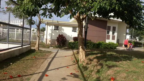
Washington Place Serenity Garden
Park · 2.3 km
60A-27 New Orleans, Dasmariñas
24/7
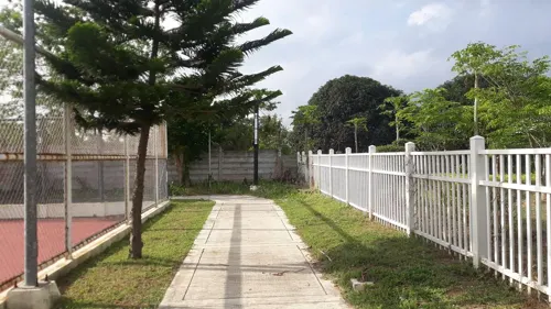
Washington Place Main Open Space
Park · 2.2 km
Common
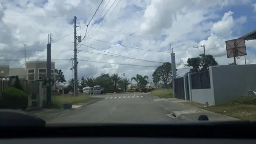
Washington Avenue, Dasmariñas


1 more on the map.
Restaurants and cafes14

7MJ Arts and Drafts Biz Cafe
Cafe · 2.3 km
288 Ambid Street
Mo-Su 09:00-20:00
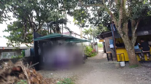
Haze Coffee House
Cafe · Coffee Shop · 2.0 km
J. P. Rizal Street, Silang
09:00-21:00

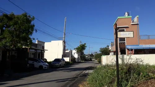



Katch The Krave Food House
Fast food · 2.3 km
14-4 Cleveland, Dasmariñas
10:00-20:00
2 more on the map.
Where to stay6
Churches and places of worship10
WP Catholic Community
Church · Roman Catholic · 2.2 km
Washington Avenue, Dasmariñas
Shopping2
Gas and EV charging8
Schools, colleges and libraries16
International Institute of Rural Reconstruction (IIRR) Y.C. James Yen Center
School · 0.9 km
Aguinaldo Highway, Dasmariñas
Sisters of Mary - Adlas Boystown Complex
School · Roman Catholic · 0.6 km
Adlas Barangay Road, Silang
Cavite State University Silang campus
School · 2.0 km
G. R. Poblete Avenue, Silang
Healthcare3
Kalymnos Generics Pharmacy and Medical Supplies
Clinic and pharmacy
Aguinaldo Highway, Silang
Map of Biga
77 places. The map loads OpenStreetMap tiles when you open it.
Getting there and nearby towns
Sangley Point Airport (SGL) is the nearest airport with scheduled flights listed in OpenStreetMap, 27 km away.
- Silang 5 km south, about 5 min by car
- Dasmariñas 9 km northwest, about 9 min by car
- Carmona 11 km northeast, about 11 min by car
- Amadeo 11 km southwest, about 11 min by car
- Indang 12 km southwest, about 12 min by car
- San Pedro 14 km northeast, about 14 min by car
- Biñan 15 km northeast, about 15 min by car
- Muntinlupa 17 km northeast, about 17 min by car
- Santa Rosa 16 km east, about 16 min by car
- Cabuyao 17 km east, about 17 min by car
Drive times are estimates from straight-line distance, not routes.
Local news
Headlines from INDB.
Reviews, tips and questions
Loading what members have shared...
Sources and licences
- GeoNames (CC BY 4.0): population, coordinates, regions and time zone
- Mapillary (see each image): photos
- OpenStreetMap contributors (ODbL 1.0): places, airports, map data
- Wikidata (CC0 1.0): elevation, founding date, time zone, website
- Wikimedia Commons (see each image): photos
Photo credits
- Yankee Candle Coppergate Walk York, Malcolmxl5, CC BY-SA 4.0
- Heneral Jose Ignacio Paua NHCP Historical Marker, Kej Andrés (Ryomaandres), CC BY-SA 4.0
- 7660Silang, Cavite Landmarks Barangays 37, Judgefloro, CC0
- 7545Silang, Cavite Landmarks Barangays 35, Judgefloro, CC0
- 7790Silang, Cavite Landmarks Barangays 38, Judgefloro, CC0
- 7790Silang, Cavite Landmarks Barangays 24, Judgefloro, CC0
- 7977Silang, Cavite Landmarks Barangays 13, Judgefloro, CC0
- 7861Silang, Cavite Landmarks Barangays 20, Judgefloro, CC0
- 7768Silang, Cavite Landmarks Barangays 02, Judgefloro, CC0
- 7545Silang, Cavite Landmarks Barangays 45, Judgefloro, CC0
- 7545Silang, Cavite Landmarks Barangays 17, Judgefloro, CC0
- 7711Silang, Cavite Landmarks Barangays 43, Judgefloro, CC0
- 7842Silang, Cavite Landmarks Barangays 14, Judgefloro, CC0
- 7861Silang, Cavite Landmarks Barangays 13, Judgefloro, CC0
- 7790Silang, Cavite Landmarks Barangays 12, Judgefloro, CC0
- 7977Silang, Cavite Landmarks Barangays 27, Judgefloro, CC0
- 7711Silang, Cavite Landmarks Barangays 42, Judgefloro, CC0
- 7924Silang, Cavite Landmarks Barangays 02, Judgefloro, CC0
- 7924Silang, Cavite Landmarks Barangays 33, Judgefloro, CC0
- 7606Silang, Cavite Landmarks Barangays 15, Judgefloro, CC0
- 7790Silang, Cavite Landmarks Barangays 41, Judgefloro, CC0
- 7842Silang, Cavite Landmarks Barangays 07, Judgefloro, CC0
- 7861Silang, Cavite Landmarks Barangays 18, Judgefloro, CC0
- 7545Silang, Cavite Landmarks Barangays 46, Judgefloro, CC0
- 7660Silang, Cavite Landmarks Barangays 16, Judgefloro, CC0
- 7606Silang, Cavite Landmarks Barangays 29, Judgefloro, CC0
- 7660Silang, Cavite Landmarks Barangays 22, Judgefloro, CC0
- 7711Silang, Cavite Landmarks Barangays 19, Judgefloro, CC0
- 7924Silang, Cavite Landmarks Barangays 42, Judgefloro, CC0
- 7545Silang, Cavite Landmarks Barangays 50, Judgefloro, CC0
- 7660Silang, Cavite Landmarks Barangays 10, Judgefloro, CC0
- 7790Silang, Cavite Landmarks Barangays 13, Judgefloro, CC0
- 7977Silang, Cavite Landmarks Barangays 01, Judgefloro, CC0
- 7790Silang, Cavite Landmarks Barangays 20, Judgefloro, CC0
- 7545Silang, Cavite Landmarks Barangays 48, Judgefloro, CC0
- 7977Silang, Cavite Landmarks Barangays 02, Judgefloro, CC0
- 7924Silang, Cavite Landmarks Barangays 21, Judgefloro, CC0
- 7842Silang, Cavite Landmarks Barangays 04, Judgefloro, CC0
- 7977Silang, Cavite Landmarks Barangays 03, Judgefloro, CC0
- 7711Silang, Cavite Landmarks Barangays 33, Judgefloro, CC0
- Street-level photo, dp24ph, CC BY-SA 4.0
- Street-level photo, dp24ph, CC BY-SA 4.0
- Street-level photo, dp24ph, CC BY-SA 4.0
- Street-level photo, dp24ph, CC BY-SA 4.0
- Street-level photo, dp24ph, CC BY-SA 4.0
- Street-level photo, dp24ph, CC BY-SA 4.0
- Street-level photo, dp24ph, CC BY-SA 4.0
- Street-level photo, dp24ph, CC BY-SA 4.0
- Street-level photo, dp24ph, CC BY-SA 4.0
- Street-level photo, dp24ph, CC BY-SA 4.0
- Street-level photo, dp24ph, CC BY-SA 4.0
- Street-level photo, msejdr, CC BY-SA 4.0
- Street-level photo, dp24ph, CC BY-SA 4.0
- Street-level photo, dp24ph, CC BY-SA 4.0
- Street-level photo, dp24ph, CC BY-SA 4.0
- Street-level photo, dp24ph, CC BY-SA 4.0
- Street-level photo, dp24ph, CC BY-SA 4.0
- Street-level photo, dp24ph, CC BY-SA 4.0
- Street-level photo, dp24ph, CC BY-SA 4.0
- Street-level photo, dp24ph, CC BY-SA 4.0
- Street-level photo, dp24ph, CC BY-SA 4.0
- Street-level photo, msejdr, CC BY-SA 4.0
- Street-level photo, dp24ph, CC BY-SA 4.0


Page built November 8, 2026. Spotted a mistake? Tell us or suggest a place.