


Loading the weather...
Population4,869
GeoNames
RegionCentral Luzon
Elevation13 m
43 ft
Time zoneAsia/Manila
Nearest airportNinoy Aquino International Airport (MNL)
42 km
Why visit Bulihan
Townapedia lists 1 museum or landmark and 4 places to eat in and around town.
Weather in Bulihan
Forecast from MET Norway (CC BY 4.0). Full forecast
Museums and landmarks1

Restaurants and cafes4


Churches and places of worship5


Advertisement
Gas and EV charging4



Schools, colleges and libraries8
Map of Bulihan
22 places. The map loads OpenStreetMap tiles when you open it.
Getting there and nearby towns
Ninoy Aquino International Airport (MNL) is the nearest airport with scheduled flights listed in OpenStreetMap, 42 km away.
- Plaridel 4 km west, about 4 min by car
- Guiguinto 5 km south, about 5 min by car
- Pulilan 6 km northwest, about 6 min by car
- Pandi 7 km east, about 7 min by car
- Balagtas 7 km southwest, about 7 min by car
- Baliuag 9 km north, about 9 min by car
- Bocaue 9 km south, about 9 min by car
- Malolos 10 km west, about 10 min by car
- Bulacan 9 km south, about 9 min by car
- Bustos 9 km north, about 9 min by car
Drive times are estimates from straight-line distance, not routes.
Local news
Headlines from INDB.
Reviews, tips and questions
Loading what members have shared...
Sources and licences
- GeoNames (CC BY 4.0): population, coordinates, regions and time zone
- Mapillary (see each image): photos
- OpenStreetMap contributors (ODbL 1.0): places, airports, map data
- Wikidata (CC0 1.0): elevation, founding date, time zone, website
- Wikimedia Commons (see each image): photos
Photo credits
- 8275Views of Parulan irrigation canals 40, JFVelasquez Floro, CC0
- 8275Views of Parulan irrigation canals 09, JFVelasquez Floro, CC0
- 8363Anacardium occidentale in the Philippines 01, JFVelasquez Floro, CC0
- 8326Views of Parulan Irrigation 15, JFVelasquez Floro, CC0
- 8391Cosmos in the Philippines 29, JFVelasquez Floro, CC0
- 8363Anacardium occidentale in the Philippines 08, JFVelasquez Floro, CC0
- 8363Anacardium occidentale in the Philippines 15, JFVelasquez Floro, CC0
- 8326Views of Parulan Irrigation 18, JFVelasquez Floro, CC0
- 8446Views of Parulan irrigation 25, JFVelasquez Floro, CC0
- 8275Views of Parulan irrigation canals 12, JFVelasquez Floro, CC0
- 8275Views of Parulan irrigation canals 30, JFVelasquez Floro, CC0
- 8204Paddy fields in Plaridel 02, JFVelasquez Floro, CC0
- 8275Views of Parulan irrigation canals 43, JFVelasquez Floro, CC0
- 8424Yellow bells in the Philippines 04, JFVelasquez Floro, CC0
- 8424Yellow bells in the Philippines 15, JFVelasquez Floro, CC0
- 8446Views of Parulan irrigation 39, JFVelasquez Floro, CC0
- 8424Yellow bells in the Philippines 05, JFVelasquez Floro, CC0
- 8446Views of Parulan irrigation 42, JFVelasquez Floro, CC0
- 8326Views of Parulan Irrigation 29, JFVelasquez Floro, CC0
- 8391Cosmos in the Philippines 24, JFVelasquez Floro, CC0
- 8275Views of Parulan irrigation canals 11, JFVelasquez Floro, CC0
- 8326Views of Parulan Irrigation 17, JFVelasquez Floro, CC0
- 8424Yellow bells in the Philippines 16, JFVelasquez Floro, CC0
- 8391Cosmos in the Philippines 22, JFVelasquez Floro, CC0
- 8491Views of Parulan irrigation canals 23, JFVelasquez Floro, CC0
- 8491Views of Parulan irrigation canals 15, JFVelasquez Floro, CC0
- 8363Anacardium occidentale in the Philippines 03, JFVelasquez Floro, CC0
- 8275Views of Parulan irrigation canals 05, JFVelasquez Floro, CC0
- 8446Views of Parulan irrigation 01, JFVelasquez Floro, CC0
- 8391Cosmos in the Philippines 21, JFVelasquez Floro, CC0
- 8363Anacardium occidentale in the Philippines 11, JFVelasquez Floro, CC0
- 7201Poblacion Parulan, Plaridel 23, JFVelasquez Floro, CC0
- 8326Views of Parulan Irrigation 04, JFVelasquez Floro, CC0
- 8446Views of Parulan irrigation 32, JFVelasquez Floro, CC0
- 8242Views of Parulan 17, JFVelasquez Floro, CC0
- 8275Views of Parulan irrigation canals 14, JFVelasquez Floro, CC0
- 8446Views of Parulan irrigation 02, JFVelasquez Floro, CC0
- 8242Views of Parulan 04, JFVelasquez Floro, CC0
- 8326Views of Parulan Irrigation 47, JFVelasquez Floro, CC0
- 8491Views of Parulan irrigation canals 21, JFVelasquez Floro, CC0
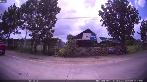
- Street-level photo, kaart_2, CC BY-SA 4.0
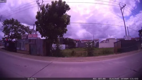
- Street-level photo, kaart_2, CC BY-SA 4.0
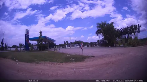
- Street-level photo, kaart_2, CC BY-SA 4.0
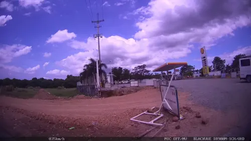
- Street-level photo, kaart_2, CC BY-SA 4.0


Page built November 7, 2026. Spotted a mistake? Tell us or suggest a place.