


Calibutbut, Philippines
Calibutbut is a town of 5,282 people in Central Luzon, Philippines.
Why visit Calibutbut
Townapedia lists 5 museums and landmarks, 15 parks and trails, 112 places to eat and 6 places to stay in and around town.
Highlights include Museum of Philippine Social History, Museo ning Angeles and Villa Angela Basketball Court.
Weather in Calibutbut
Forecast from MET Norway (CC BY 4.0). Full forecast
Museums and landmarks5


Museo ning Angeles
Museum · 2.3 km
Art, history, and food museum in Angeles, Philippines


Parks, trails and playgrounds15
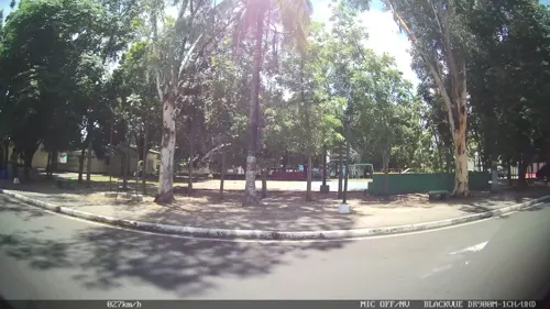


3 more on the map.
Restaurants and cafes112

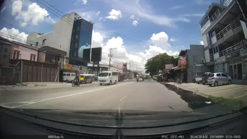
THE FRENCHIES BAKER
Cafe · Cheesecake, Brownies, Cookies · 1.2 km
Santo Rosario Street, Angeles
Mo-Su 09:00-17:00

Patissery By Lyn
Cafe · Bakery, Cake · 2.1 km
196 Sacop Promisedland Calibutbut, Bacolor


100 more on the map.
Where to stay6

Churches and places of worship33
Carmel of the Divine Infant Jesus of Prague Church
Church · Roman Catholic · 1.5 km
Santo Rosario Street, Angeles City
Holy Rosary Parish Church
Church · Roman Catholic · 2.3 km
Santo Rosario Street, Angeles
Nuestra Senora Dela Paz Y Buen Viaje Chapel
Church · Roman Catholic · 2.3 km
Calzadang Bayu Road
Shopping17
Gas and EV charging17
Schools, colleges and libraries33
Angeles City Library and Information Center
Library · 2.4 km
Santo Entierro Street, Angeles
Holy Family Academy - Grade School Department
School · 2.3 km
Dalan Santo Rosario
Healthcare22
Agsa Medical Service LTO Accredited
Clinic and pharmacy · 1.4 km
MacArthur Highway
Dr. Fred S. Patawaran LTO Accredited Physician
Clinic and pharmacy · 1.4 km
135 MacArthur Highway
Map of Calibutbut
250 places. The map loads OpenStreetMap tiles when you open it.
Getting there and nearby towns
Clark International Airport (CRK) is the nearest airport with scheduled flights listed in OpenStreetMap, 9 km away.
- Angeles City 4 km north, about 4 min by car
- Porac 8 km southwest, about 8 min by car
- Mabalacat City 12 km north, about 12 min by car
- San Fernando 13 km southeast, about 13 min by car
- Magalang 13 km northeast, about 13 min by car
- Santa Rita 13 km south, about 13 min by car
- Santa Ana 18 km east, about 18 min by car
- Guagua 17 km south, about 17 min by car
- Arayat 19 km east, about 19 min by car
- Lubao 19 km south, about 19 min by car
Drive times are estimates from straight-line distance, not routes.
Local news
Headlines from INDB.
Reviews, tips and questions
Loading what members have shared...
Sources and licences
- GeoNames (CC BY 4.0): population, coordinates, regions and time zone
- Mapillary (see each image): photos
- OpenStreetMap contributors (ODbL 1.0): places, airports, map data
- Wikidata (CC0 1.0): elevation, founding date, time zone, website, landmarks and historic places
- Wikimedia Commons (see each image): photos
Photo credits
- MuseumofAngelesjf3899 07, Ramon FVelasquez, CC BY-SA 3.0
- 02385jfAngeles City Proper Museum of Philppines Social History Santo Rosariofvf 10, Judgefloro, CC0
- Angeles City Library and Information Center 2, Judgefloro, CC0
- Angeles Lourdes Sur, Mount Arayat drone (Angeles, Pampanga; 02-15-2026), Patrickroque01, CC BY-SA 4.0
- Living Earth, Holy Angel University, Phil - panoramio, DM San Jose, CC BY 3.0
- Bale Herencia, Angeles, Pampanga, Aug 2026 (3), Ralff Nestor Nacor, CC BY-SA 4.0
- Street-level photo, kaart_2, CC BY-SA 4.0
- Street-level photo, kaart_2, CC BY-SA 4.0
- Street-level photo, mdgabriel, CC BY-SA 4.0
- Street-level photo, kaart_2, CC BY-SA 4.0
- Street-level photo, kaart_2, CC BY-SA 4.0
- Street-level photo, kaart_2, CC BY-SA 4.0
- Street-level photo, kaart_2, CC BY-SA 4.0
- Street-level photo, kaart_1, CC BY-SA 4.0
- Street-level photo, kaart_2, CC BY-SA 4.0
Page built November 7, 2026. Spotted a mistake? Tell us or suggest a place.