


Why visit Cervantes
Townapedia lists 3 museums and landmarks, 2 parks and trails, 1 place to eat, 6 places to stay and 11 attractions in and around town.
Weather in Cervantes
Forecast from MET Norway (CC BY 4.0). Full forecast
About Cervantes
Cervantes, officially the Municipality of Cervantes (Ilocano: Ili ti Cervantes; Filipino: Bayan ng Cervantes), is a municipality in the province of Ilocos Sur, Philippines. According to the 2024 census, it has a population of 20,065 people.
From the Wikipedia article Cervantes, Ilocos Sur (this version), under CC BY-SA 4.0.
Travel tips from other travellers: Cervantes on Wikivoyage (CC BY-SA 4.0).
Things to do11
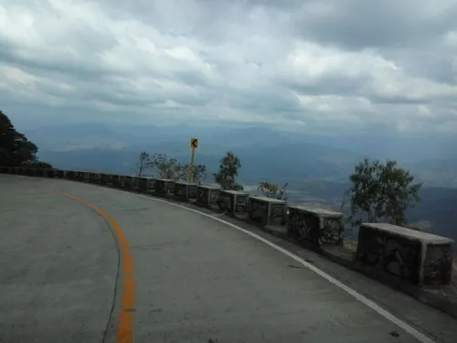

Museums and landmarks3
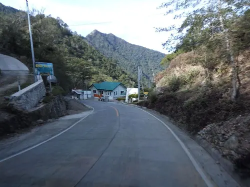

Parks, trails and playgrounds2


Restaurants and cafes1


History
The earliest known historical document about Cervantes was that it started as a small Igorot Village known as “Mantamang”, an Igorot word meaning “to look over”. Igorot traders and Chinese merchants who always had to pass the village frequently used trails connecting the lowland and upland neighboring localities.
On March 4, 1879, the residents of Mantamang petitioned that the village be recognized as a Christian town under the district of Lepanto-Amburayan. The town was given the name Cervantes and that remained the name of the town up to the present.
Maximo Lilio de Garcia has written that Cervantes was formerly a barrio when it was founded by the Spanish colonizers. It started with only thirty houses made of light building materials like bamboo and cogon. In spite of the fertile lands that abound the place, the natives used to cultivate only small patches of rice fields, which limited the development of the barrio.
Lilio further stated that Cervantes has a distance of 24 kilometers from Lepanto. The system of communication was maintained on a weekly basis due to the poor road network that traversed the mountains - zigzagging upward the hills back of Cayus where the storage house was located and down to the lowlands reaching the Malaya River, which sometimes overflows during the rainy season, making the trail slippery.
From the History section of Cervantes, Ilocos Sur on Wikipedia, under CC BY-SA 4.0.
Where to stay6
Churches and places of worship3
Gas and EV charging4
Schools, colleges and libraries70
Map of Cervantes
100 places. The map loads OpenStreetMap tiles when you open it.
Getting there and nearby towns
San Fernando Airport (SFE) is the nearest airport with scheduled flights listed in OpenStreetMap, 64 km away.
- Bontoc 28 km northeast, about 28 min by car
- Candon 38 km northwest, about 38 min by car
- Lagawe 46 km southeast, about 46 min by car
- San Gabriel 50 km southwest, about 50 min by car
- Santa Maria 50 km northwest, about 50 min by car
- Narvacan 55 km northwest, about 55 min by car
- La Trinidad 62 km south, about 1 h by car
- San Fernando 61 km southwest, about 1 h by car
- Baguio 66 km south, about 1 h by car
- Bauang 67 km southwest, about 1 h by car
Drive times are estimates from straight-line distance, not routes.
Local news
Headlines from INDB.
Reviews, tips and questions
Loading what members have shared...
Sources and licences
- GeoNames (CC BY 4.0): population, coordinates, regions and time zone
- Mapillary (see each image): photos
- OpenStreetMap contributors (ODbL 1.0): places, airports, map data
- Wikidata (CC0 1.0): elevation, founding date, time zone, website
- Wikimedia Commons (see each image): photos
- Wikipedia (CC BY-SA 4.0): overview and history text
Photo credits
- Cervantes, Ilocos Sur - Flickr, Leocadio Sebastian, CC BY 2.0
- The Battle of Bessang Pass Monument, Wincelle, CC BY-SA 4.0
- The Battle of Bessang Pass Monument 2, Wincelle, CC BY-SA 4.0
- Mount Namindaraan, Warrendering, CC BY-SA 4.0
- Bessang Pass Memorial (47986071046), David Stanley from Nanaimo, Canada, CC BY 2.0
- Bessang Pass Monument, Warrendering, CC BY-SA 4.0
- Street-level photo, asdfasdf0986, CC BY-SA 4.0
- Street-level photo, asdfasdf0986, CC BY-SA 4.0
- Street-level photo, asdfasdf0986, CC BY-SA 4.0
- Street-level photo, asdfasdf0986, CC BY-SA 4.0
- Street-level photo, asdfasdf0986, CC BY-SA 4.0
- Street-level photo, asdfasdf0986, CC BY-SA 4.0
- Street-level photo, asdfasdf0986, CC BY-SA 4.0
- Street-level photo, asdfasdf0986, CC BY-SA 4.0
- Street-level photo, asdfasdf0986, CC BY-SA 4.0
Page built November 7, 2026. Spotted a mistake? Tell us or suggest a place.