




Why visit Dansuli
Townapedia lists 1 museum or landmark, 1 park or trail, 11 places to eat and 2 places to stay in and around town.
Highlights include Kids Paradise.
Weather in Dansuli
Forecast from MET Norway (CC BY 4.0). Full forecast
Museums and landmarks1

Parks, trails and playgrounds1

Kids Paradise
Playground · 1.9 km
Tacurong-Isulan Highway, Isulan
Mo-Su 09:00-19:00
Restaurants and cafes11




Aries Pizza
Fast food · Pizza, Burger, Tea · 2.4 km
General Siongco Street
Mo-Su 09:00-21:00
BJ's Lechon Manok
Fast food · Chicken · 1.8 km
Senator Ninoy Aquino Avenue, Isulan
Brielle's Chicken Palace
Fast food · Chicken · 1.7 km
Senator Ninoy Aquino Avenue, Isulan
Where to stay2

Churches and places of worship4
Isulan Baptist Church
Church · Southern Baptist Church · 2.0 km
Municipal Road, Isulan
Isulan Baptist Convention Church
Church · Baptist · 1.7 km
Kalachuchi Street, Isulan
Shopping5
Gas and EV charging5
Schools, colleges and libraries8
Isulan Central School & Special Education Center
School · 2.0 km
Tacurong-Isulan Highway, Isulan
Healthcare9
Isulan Doctor's Specialist Center
Hospital · 1.9 km
Tacurong-Isulan Highway, Isulan
Map of Dansuli
46 places. The map loads OpenStreetMap tiles when you open it.
Getting there and nearby towns
Allah Valley Airport (AAV) is the nearest airport with scheduled flights listed in OpenStreetMap, 36 km away.
- Isulan 3 km southeast, about 3 min by car
- Tacurong 12 km northeast, about 12 min by car
- Esperanza 11 km northwest, about 11 min by car
- President Quirino 18 km east, about 18 min by car
- Buluan 26 km east, about 26 min by car
- Koronadal 33 km southeast, about 33 min by car
- Banga 32 km southeast, about 32 min by car
- Surallah 35 km southeast, about 35 min by car
- Pikit 47 km north, about 47 min by car
- Lake Sebu 48 km south, about 48 min by car
Drive times are estimates from straight-line distance, not routes.
Local news
Headlines from INDB.
Reviews, tips and questions
Loading what members have shared...
Sources and licences
- GeoNames (CC BY 4.0): population, coordinates, regions and time zone
- OpenStreetMap contributors (ODbL 1.0): places, airports, map data
- Wikidata (CC0 1.0): elevation, founding date, time zone, website, landmarks and historic places
- Wikimedia Commons (see each image): photos
Photo credits
- Isulan roundabout, Teemu Väisänen, CC BY-SA 4.0
- Isulan Round Ball, PeterParker22, CC BY-SA 4.0
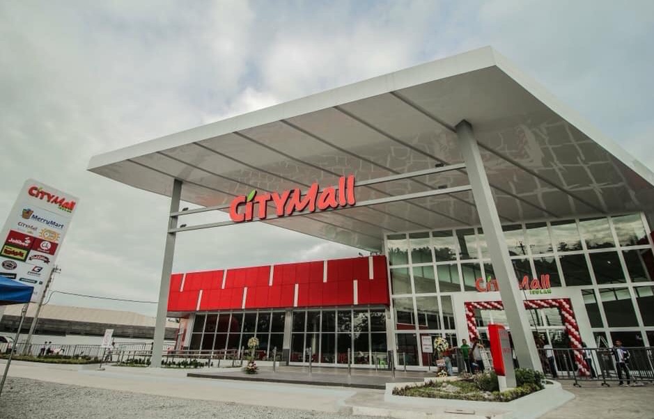
- CityMall Isulan, PeterParker22, CC BY-SA 4.0
- Gen. Siongco Street, Isulan, Teemu Väisänen, CC BY-SA 4.0
Page built November 7, 2026. Spotted a mistake? Tell us or suggest a place.