


Why visit Dauis
Townapedia lists 7 museums and landmarks, 12 parks and trails, 198 places to eat, 119 places to stay and 3 attractions in and around town.
Highlights include National Museum of the Philippines – Bohol and Church of Dauis.
Weather in Dauis
Forecast from MET Norway (CC BY 4.0). Full forecast
About Dauis
Dauis, officially the Municipality of Dauis (Cebuano: Munisipalidad sa Dauis; Tagalog: Bayan ng Dauis), is a municipality in the province of Bohol, Philippines. According to the 2024 census, it has a population of 53,864 people. The town has many fine beaches, resorts, and a historic church, built in the 17th century. The Hinagdanan Cave is also a draw for tourists.
From the Wikipedia article Dauis (this version), under CC BY-SA 4.0.
Travel tips from other travellers: Dauis on Wikivoyage (CC BY-SA 4.0).
Things to do3


Museums and landmarks7

National Museum of the Philippines – Bohol
Museum · 2.0 km
Regional museum in Bohol, Philippines
Carlos P. Garcia East Avenue, Tagbilaran



Blood Compact Site
Monument and historic site · 1.5 km
Venancio P. Inting Avenue, Tagbilaran
Parks, trails and playgrounds12





Restaurants and cafes198

Pellegrini Coffee and Studio
Cafe · Coffee Shop, Studio · 1.3 km
Venancio P. Inting Avenue, Tagbilaran City
Everyday 10:30 - 10:30
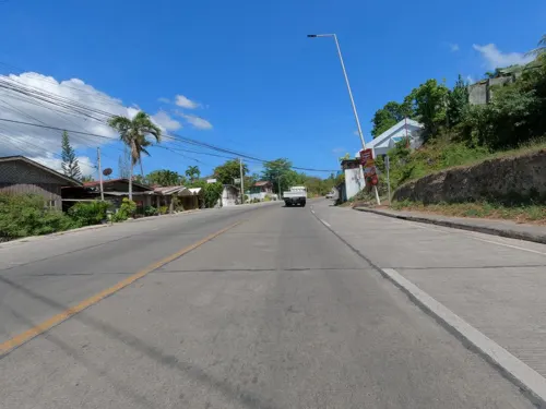
Drunk Skillet Steak & Grill
Restaurant · Steak House · 0.8 km
Venancio P. Inting Avenue
24/7

GERARDA'S Family Restaurant
Restaurant · Local · 3.5 km
Carlos P. Garcia North Avenue
Mo-Su 10:00-21:00
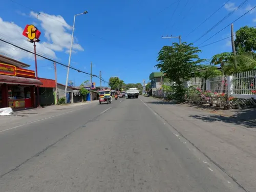
Toni's By Casa Rey Francis
Restaurant · Filipino · 1.4 km
62 Venancio P. Inting Avenue
Mo-Su 16:00-22:00
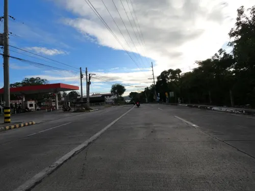
Food Hunters Restaurant
Restaurant · 0.7 km
Dauis-Panglao Road
Su-Fr 09:00-09:00
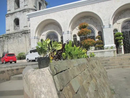
Garden Cafe
Cafe · Amer, Regional, American · 2.0 km
J. S. Torralba Street
06:30-21:00
Yokoy's Cafe
Cafe · Cake, Coffee Shop, Ice Cream, Tea · 3.3 km
San Jose Street
Tu-Su 10:00-19:00
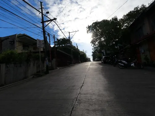
Al Fresco Bay
Restaurant · Italian Pizza · 2.5 km
17 G. Visarra Street
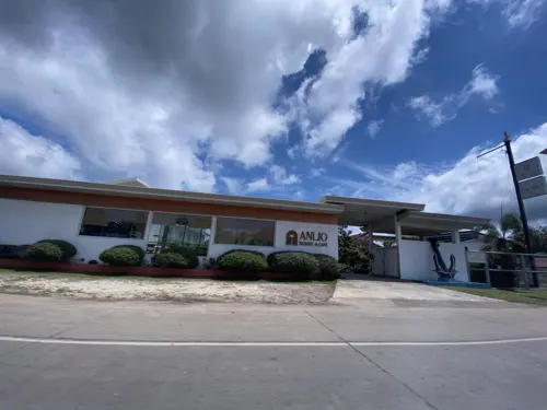


186 more on the map.
Where to stay119
Churches and places of worship38
Iglesia ni Cristo - Locale of Tagbilaran City
Church · Iglesia Ni Cristo · 3.6 km
92 Graham Avenue, Tagbilaran
Mansasa Seaside Chapel
Church · Roman Catholic · 0.9 km
Venancio P. Inting Avenue
Evangelical Free Church
Church · Evangelical · 2.0 km
Anos Fonacier Circumferential Road
Neustra de la Paz y Buen Viaje Parish Church
Church · Roman Catholic · 3.9 km
Anos Fonacier Circumferential Road
Our Lady of Guadalupe Parish Church
Church · Roman Catholic · 4.5 km
Tomas Cloma Avenue, Tagbilaran
Sagrada Familia Chapel
Church · Roman Catholic · 1.4 km
Tamblot Circumferential Road
Saint Joseph the Worker Cathedral
Church · Roman Catholic · 1.9 km
Sarmiento Street, Tagbilaran
Saint Jude Thaddeus Shrine
Church · Catholic · 1.3 km
Mansasa – Dampas Road, Tagbilaran
Shopping66
Bersaluna Electrical Supply
Hardware store · 3.2 km
Carlos P. Garcia North Avenue
CFS Builders Hardware (branch of BOHOL ELECTRONICS)
Hardware store · 3.3 km
Pamaong Street, Tagbilaran
Gas and EV charging29
Schools, colleges and libraries53
Biking Technical-Vocational High School
School · 4.5 km
Anos Fonacier Circumferential Road
Bohol Institute of Technology Inter College
School · 2.8 km
Celestino Gallares Street
Healthcare30
Governor Celestino Gallares Memorial Hospital
Hospital · 2.3 km
53 M. Parras, Tagbilaran
Holy Name University Medical Center
Hospital · 2.9 km
Excellence Road, Tagbilaran
Map of Dauis
250 places. The map loads OpenStreetMap tiles when you open it.
Getting there and nearby towns
Bohol-Panglao International Airport (TAG) is the nearest airport with scheduled flights listed in OpenStreetMap, 12 km away.
- Tagbilaran City 4 km northwest, about 4 min by car
- Panglao 14 km west, about 14 min by car
- Loboc 19 km east, about 19 min by car
- Loon 21 km north, about 21 min by car
- Batuan 35 km northeast, about 35 min by car
- Valencia 38 km east, about 38 min by car
- Dalaguete 39 km northwest, about 39 min by car
- Carmen 42 km northeast, about 42 min by car
- Boljoon 42 km west, about 42 min by car
- Inabanga 50 km northeast, about 50 min by car
Drive times are estimates from straight-line distance, not routes.
Local news
Headlines from INDB.
Reviews, tips and questions
Loading what members have shared...
Sources and licences
- GeoNames (CC BY 4.0): population, coordinates, regions and time zone
- Mapillary (see each image): photos
- OpenStreetMap contributors (ODbL 1.0): places, airports, map data
- Wikidata (CC0 1.0): elevation, founding date, time zone, website, landmarks and historic places
- Wikimedia Commons (see each image): photos
- Wikipedia (CC BY-SA 4.0): overview and history text
Photo credits
- Dauis Bohol 1, P199, CC BY-SA 3.0
- Dauis church - panoramio, Qaalvin, CC BY 3.0
- Dauis Municipal Hall 02, Howdy.carabao, CC BY-SA 4.0
- Dauis Municipal Hall 03, Howdy.carabao, CC BY-SA 4.0
- Dauis Municipal Hall 01, Howdy.carabao, CC BY-SA 4.0
- Dauis Municipal Hall 04, Howdy.carabao, CC BY-SA 4.0
- Welcome to Dauis, Howdy.carabao, CC0
- St. Joseph Cathedral Tagbilaran 001, KisekiLacroix, CC BY-SA 4.0
- Dauis Church Complex NHI historical marker, Photo: Josh Lim ( Sky Harbor ); perspective correction: Eugene Alvin Villar ( seav ), CC BY-SA 3.0 ph
- Dauis Church Marker, Bap Flores, CC0
- University of Bohol inside look 1, Emancris, CC BY-SA 4.0
- National Museum of the Philippines - Bohol, National Museum of the Philippines, CC BY 4.0
- Overlooking Bohol from Panglao - panoramio, Mats Sjödin, CC BY 3.0
- Overlooking panglao straight - panoramio, Mats Sjödin, CC BY 3.0
- National Museum Bohol, Nirmaljoshi, CC BY-SA 4.0
- Tagbilaran Cathedral - 2017 (04), Howhontanozaz, CC BY-SA 4.0
- Tagbilaran Cathedral - 2017 (02), Howhontanozaz, CC BY-SA 4.0
- Tagbilaran Cathedral - 2017 (01), Howhontanozaz, CC BY-SA 4.0
- Tagbilaran Cathedral - 2017 (05), Howhontanozaz, CC BY-SA 4.0
- Tagbilaran Cathedral - 2017 (03), Howhontanozaz, CC BY-SA 4.0
- Bohol Capitol Building - panoramio, Qaalvin ( Qaalvin ), CC BY 3.0
- Chrysophyllum cainito 427394010, Howard Hontanosas, CC BY 4.0
- Chrysophyllum cainito 427394028, Howard Hontanosas, CC BY 4.0
- Chrysophyllum cainito 427394066, Howard Hontanosas, CC BY 4.0
- Chrysophyllum cainito 427394044, Howard Hontanosas, CC BY 4.0
- Tricycles in Tagbilaran City, Howdy.carabao, CC0
- Corypha utan 318777901, Howard Hontanosas, CC BY 4.0
- Corypha utan 318777873, Howard Hontanosas, CC BY 4.0
- BQ MALL, 2hydh, CC BY-SA 4.0
- Badjao kid diving for coins, Ronnie Puckett from Near Atlanta, Ga USA, CC BY 2.0
- Our Lady of Lourdes Parish Church, Tagbilaran, Deepak-nsk, CC0
- WMPH with Bohol Gov. Edgar Chatto, Roel Balingit, CC BY-SA 4.0
- Tagbilaran City Hall 2026, Howdy.carabao, CC BY 4.0
- Tagbilaran Bohol Lightning, ElvinPV, CC BY-SA 4.0
- Beautiful Lighting in Tagbilaran City, ElvinPV, CC BY-SA 4.0
- Lightning in Tagbilaran City Bohol, ElvinPV, CC BY-SA 4.0
- Bee farm restaurant in Panglao - panoramio, Mats Sjödin, CC BY 3.0
- Front View of Island City Mall Bohol Philippines, Kiel de Vera, CC BY-SA 3.0
- Island city mall tagbilaran, OxyLight, CC0
- Tagbilaran Port - panoramio, Tuderna, CC BY 3.0
- Street-level photo, GOwin, CC BY-SA 4.0
- Street-level photo, GOwin, CC BY-SA 4.0
- Street-level photo, ronrich, CC BY-SA 4.0
- Street-level photo, GOwin, CC BY-SA 4.0
- Street-level photo, GOwin, CC BY-SA 4.0
- Street-level photo, GOwin, CC BY-SA 4.0
- Street-level photo, GOwin, CC BY-SA 4.0
- Street-level photo, GOwin, CC BY-SA 4.0
- Street-level photo, GOwin, CC BY-SA 4.0
- Street-level photo, maning, CC BY-SA 4.0
- Street-level photo, GOwin, CC BY-SA 4.0
- Street-level photo, ronrich, CC BY-SA 4.0
- Street-level photo, ronrich, CC BY-SA 4.0
- Street-level photo, GOwin, CC BY-SA 4.0
- Street-level photo, ronrich, CC BY-SA 4.0
- Street-level photo, GOwin, CC BY-SA 4.0
- Street-level photo, GOwin, CC BY-SA 4.0
- Street-level photo, lan6ji2, CC BY-SA 4.0
- Street-level photo, ReyLadiao, CC BY-SA 4.0
- Street-level photo, ReyLadiao, CC BY-SA 4.0


Page built November 7, 2026. Spotted a mistake? Tell us or suggest a place.