


Why visit Doljo
Townapedia lists 2 museums and landmarks, 2 parks and trails, 11 places to eat, 9 places to stay and 1 attraction in and around town.
Weather in Doljo
Forecast from MET Norway (CC BY 4.0). Full forecast
Things to do1

Museums and landmarks2
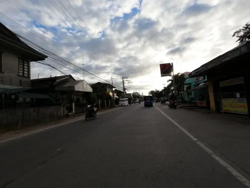
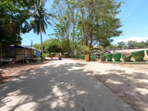
Parks, trails and playgrounds2


Restaurants and cafes11

La Familia
Restaurant · Burger, Sandwich, International, Breakfast, Seafood, Pasta, Pizza, Filipino · 1.9 km
Macario Parmisano Avenue
Mo-Su 09:00-23:00
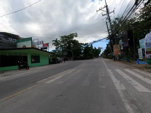
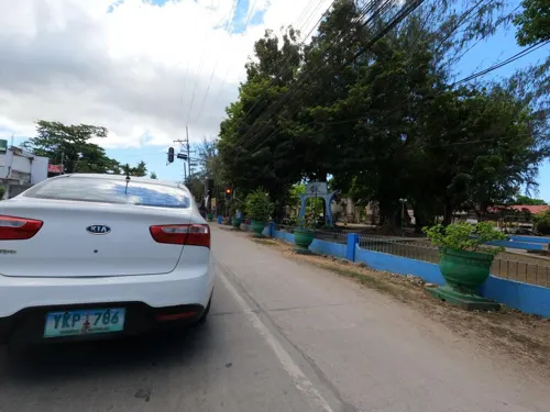
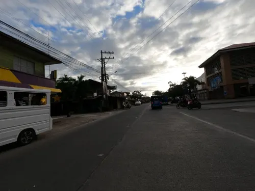
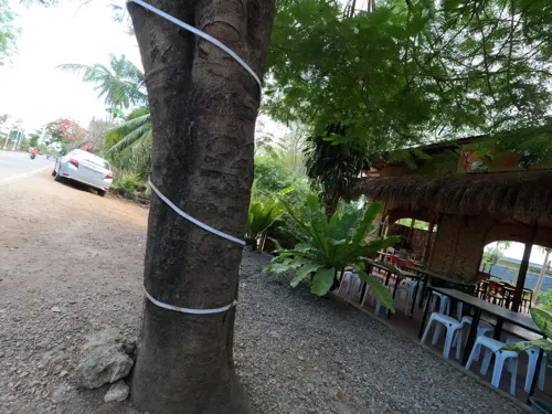
K & L Canteen
Fast food · Mexican, Regional · 2.4 km
Anos Fonacier Circumferential Road
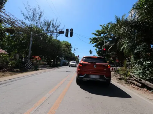
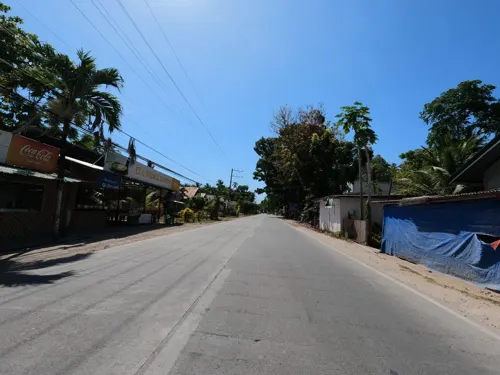


Where to stay9
Churches and places of worship3
Lokal ng Panglao
Church · Iglesia Ni Cristo · 2.4 km
Anos Fonacier Circumferential Road
Shopping2
Gas and EV charging1
Schools, colleges and libraries4
Healthcare2
Map of Doljo
37 places. The map loads OpenStreetMap tiles when you open it.
Getting there and nearby towns
Bohol-Panglao International Airport (TAG) is the nearest airport with scheduled flights listed in OpenStreetMap, 5 km away.
- Panglao 2 km southeast, about 2 min by car
- Tagbilaran City 15 km northeast, about 15 min by car
- Dauis 15 km east, about 15 min by car
- Loon 25 km north, about 25 min by car
- Boljoon 28 km west, about 28 min by car
- Dalaguete 29 km northwest, about 29 min by car
- Loboc 34 km east, about 34 min by car
- Oslob 34 km west, about 34 min by car
- Siquijor 48 km southwest, about 48 min by car
- Dumaguete 56 km southwest, about 56 min by car
Drive times are estimates from straight-line distance, not routes.
Local news
Headlines from INDB.
Reviews, tips and questions
Loading what members have shared...
Sources and licences
- GeoNames (CC BY 4.0): population, coordinates, regions and time zone
- Mapillary (see each image): photos
- OpenStreetMap contributors (ODbL 1.0): places, airports, map data
- Wikidata (CC0 1.0): elevation, founding date, time zone, website, landmarks and historic places
- Wikimedia Commons (see each image): photos
Photo credits
- Doljo village in Panglao - panoramio, Tuderna, CC BY 3.0
- Doljo beach - panoramio, Qaalvin, CC BY 3.0
- Foods served at Moadto Strip Mall (2025), Sadopaul, CC BY-SA 4.0
- Pomacentrus nigromarginatus 236362672, Francois Libert, CC BY-SA 4.0
- Cypraea tigris 364371282, Tia Tyler, CC0
- Laticauda colubrina 364371081, Tia Tyler, CC0
- Laticauda colubrina 364371063, Tia Tyler, CC0
- Pearsonothuria graeffei 362528525, Tia Tyler, CC0
- Pearsonothuria graeffei 362528541, Tia Tyler, CC0
- Mangroves in Panglao - panoramio, Qaalvin, CC BY 3.0
- Panglao church - panoramio, Qaalvin, CC BY 3.0
- Panglao church Bohol, Bengoeswhere, CC BY-SA 4.0
- Panglao church Bohol interior, Bengoeswhere, CC BY-SA 4.0
- St. Agustine Church, John Racho, CC0
- Doljo Beach in Panglao, Deepak-nsk, CC0
- Street-level photo, GOwin, CC BY-SA 4.0
- Street-level photo, GOwin, CC BY-SA 4.0
- Street-level photo, GOwin, CC BY-SA 4.0
- Street-level photo, GOwin, CC BY-SA 4.0
- Street-level photo, GOwin, CC BY-SA 4.0
- Street-level photo, GOwin, CC BY-SA 4.0
- Street-level photo, GOwin, CC BY-SA 4.0
- Street-level photo, GOwin, CC BY-SA 4.0
- Street-level photo, GOwin, CC BY-SA 4.0
- Street-level photo, GOwin, CC BY-SA 4.0
- Street-level photo, GOwin, CC BY-SA 4.0
- Street-level photo, GOwin, CC BY-SA 4.0
- Street-level photo, GOwin, CC BY-SA 4.0
- Street-level photo, GOwin, CC BY-SA 4.0
- Street-level photo, GOwin, CC BY-SA 4.0


Page built November 7, 2026. Spotted a mistake? Tell us or suggest a place.