


Why visit Enrile
Townapedia lists 6 museums and landmarks, 6 parks and trails, 105 places to eat, 37 places to stay and 3 attractions in and around town.
Highlights include Buntun Bridge, Cabagan–Santa Maria Bridge and Emy’s Balut–Don Domingo Branch.
Weather in Enrile
Forecast from MET Norway (CC BY 4.0). Full forecast
About Enrile
Enrile, officially the Municipality of Enrile (Itawis: Babalay yo Enrile; Ibanag: Ili nat Enrile; Ilocano: Ili ti Enrile; Tagalog: Bayan ng Enrile), is a municipality in the province of Cagayan, Philippines. According to the 2024 census, it has a population of 36,481 people.
From the Wikipedia article Enrile, Cagayan (this version), under CC BY-SA 4.0.
Things to do3

Cabagan–Santa Maria Bridge
Bridge · 13.3 km
Bridge in Cabagan and Santa Maria, Isabela

Museums and landmarks6

Emy’s Balut–Don Domingo Branch
Monument and historic site · 8.3 km
Don Domingo Road
Mo-Su 08:00-17:00

Parks, trails and playgrounds6

Restaurants and cafes105

MP
Restaurant · Regional · 7.0 km
Best in Town
27 Soriano Street, Tuguegarao City
24/7
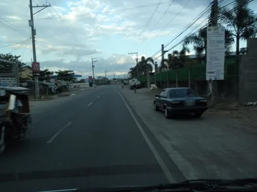
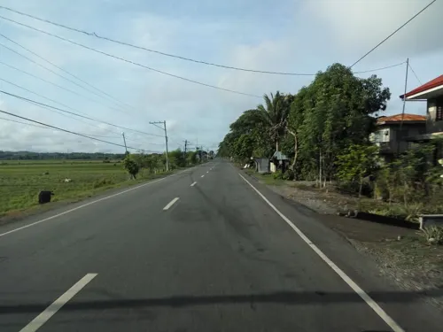
Tambayan: Batil Patong x Pancit Cabagan
Restaurant · 6.4 km
Lecaros Street
Mo-Su 07:00-02:00
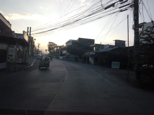
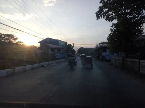
JJ Panciteria
Restaurant · Filipino · 8.1 km
Diosdado Macapagal Diversion Road, Tuguegarao
Jomar Panciteria
Restaurant · Filipino · 8.1 km
Diosdado Macapagal Diversion Road, Tuguegarao


Vince Grill
Restaurant · Filipino · 8.2 km
Diosdado Macapagal Diversion Road, Tuguegarao
93 more on the map.
History
The history of Enrile dates back to 1690. According to Father Juan Paguere, it was just a wide and long stretch of virgin land located at the southernmost end of the province of Cagayan. In 1718, the colonial government ordered the place to become one of the barrios of Tuguegarao. It was named "Cabugag" or Cabug, the local term for hunchback for the first settler was a man with this deformity. So the place was named after him. The name "Cabug" is engraved on the town's first church bell which is still found in the steeple.
In 1724, the Dominican Friars thought of giving the barrios their Patron Saint. Cabug was given "Nuestra Señora de las Caldas". The prominent residents of the barrio had chosen the sixth day of August as her feast day. As years went by, the land area and population of the barrio increased with surprising figures. The Cagayan River which flowed close to the barrio site gradually changed its course and moved towards Cataggaman as flood plains were formed. The non-Christian inhabitants called Kalingas gradually deserted the barrio and migrated westward to the Mountain Province. As a result, more agricultural lands were cleared and cultivated. Tobacco and corn were the chief crops of the people.
From the History section of Enrile, Cagayan on Wikipedia, under CC BY-SA 4.0.
Where to stay37
Hotel Carmelita
Motel and hotel · 8.2 km
Tuguegarao Diversion Road II, Tuguegarao
Churches and places of worship26
Sts. Peter & Paul Metropolitan Cathedral
Church · Roman Catholic · 6.9 km
Rizal Street, Tuguegarao
Kingdom Hall of Jehovah's Witnesses
Church · Jehovahs Witness · 7.6 km
Caritan Road, Tuguegarao
Shopping31
Gas and EV charging43
Schools, colleges and libraries111
Tuguegarao City Science High School
School · 6.7 km
Mabini Street, Tuguegarao
Cataggamman Elementary School
School · 4.3 km
Cagayan Provincial Road, Tuguegarao
Healthcare31
Dr. Domingo S. de Leon General Hospital
Hospital · 6.5 km
Bonifacio Street, Tuguegarao
Dr. Teresita Reyes Clinic
Clinic and pharmacy · 6.5 km
Arellano Street, Tuguegarao
Tanza Barangay Health Station
Clinic and pharmacy · 8.6 km
Maharlika Highway, Tuguegarao City
Map of Enrile
250 places. The map loads OpenStreetMap tiles when you open it.
Getting there and nearby towns
Tuguegarao Airport (TUG) is the nearest airport with scheduled flights listed in OpenStreetMap, 10 km away.
- Tuguegarao 7 km northeast, about 7 min by car
- Solana 10 km north, about 10 min by car
- Cabagan 17 km southeast, about 17 min by car
- Tabuk 32 km southwest, about 32 min by car
- Ilagan 50 km southeast, about 50 min by car
- Roxas 50 km south, about 50 min by car
- Gattaran 56 km north, about 56 min by car
- Gamu 59 km south, about 59 min by car
- Alicia 87 km south, about 1 h 30 min by car
- Ramon 88 km south, about 1 h 30 min by car
Drive times are estimates from straight-line distance, not routes.
Local news
Headlines from INDB.
Reviews, tips and questions
Loading what members have shared...
Sources and licences
- GeoNames (CC BY 4.0): population, coordinates, regions and time zone
- Mapillary (see each image): photos
- OpenStreetMap contributors (ODbL 1.0): places, airports, map data
- Wikidata (CC0 1.0): elevation, founding date, time zone, website, landmarks and historic places
- Wikimedia Commons (see each image): photos
- Wikipedia (CC BY-SA 4.0): overview and history text
Photo credits
- Municipal Hall of Enrile, Cagayan, Armaven, CC BY-SA 4.0
- Our Lady of Snows Parish Church Enrile Cagayan - Flickr, Shubert Ciencia from Nueva Ecija, Philippines, CC BY 2.0
- Our Lady of Snows Parish Church interior in Enrile, Cagayan - Flickr, Shubert Ciencia from Nueva Ecija, Philippines, CC BY 2.0
- Buntun Bridge from Tuguegarao City, Mar 2024, Ralff Nestor Nacor, CC BY-SA 4.0
- Cabagan–Santa Maria Bridge (cropped), Department of Public Works and Highways, Public domain
- St. Paul University Philippines, Tuguegarao City, Mar 2024, Ralff Nestor Nacor, CC BY-SA 4.0
- Saint Peter Metropolitan Cathedral Tuguegarao front (Rizal Street, Tuguegarao, Cagayan; 11-18-2022), Patrickroque01, CC BY-SA 4.0
- ISAP@16, Jerome Caducoy, CC BY-SA 3.0
- Tuguegarao Cathedral, Cagayan, Mar 2024, Ralff Nestor Nacor, CC BY-SA 4.0
- ISS054-E-54515 - View of Earth, Earth Science and Remote Sensing Unit, NASA Johnson Space Center, Public domain
- Buntun Bridge May 2025, Hariboneagle927, CC BY-SA 4.0
- Cagayan River from the Buntun Bridge May 2025, Hariboneagle927, CC BY-SA 4.0
- Tuguegarao Cathedral (S. Ciencia) - Flickr, Shubert Ciencia from Nueva Ecija, Philippines, CC BY 2.0
- San Jacinto Chapel, Tuguegarao City - Flickr, Shubert Ciencia from Nueva Ecija, Philippines, CC BY 2.0
- The Old Gabaldon Building in West Central School, Tuguegarao CIty, IcemanKyo112, CC0
- Solana, Cagayan 20250511a, Hariboneagle927, CC BY-SA 4.0
- Solana, Cagayan 20250511c, Hariboneagle927, CC BY-SA 4.0
- Solana, Cagayan 20250511b, Hariboneagle927, CC BY-SA 4.0
- SM Center Tuguegarao May 2017, AnonymousRMT, CC BY-SA 4.0
- ISS054-E-54516 - View of Earth, Earth Science and Remote Sensing Unit, NASA Johnson Space Center, Public domain
- ISS054-E-52431 - View of Earth, Earth Science and Remote Sensing Unit, NASA Johnson Space Center, Public domain
- ISS054-E-54517 - View of Earth, Earth Science and Remote Sensing Unit, NASA Johnson Space Center, Public domain
- ISS047-E-46597 - View of Earth, Earth Science and Remote Sensing Unit , Lyndon B. Johnson Space Center, Public domain
- ISS047-E-46598 - View of Earth, Earth Science and Remote Sensing Unit , Lyndon B. Johnson Space Center, Public domain
- ISS054-E-52429 - View of Earth, Earth Science and Remote Sensing Unit, NASA Johnson Space Center, Public domain
- ISS047-E-46596 - View of Earth, Earth Science and Remote Sensing Unit , Lyndon B. Johnson Space Center, Public domain
- ISS054-E-52430 - View of Earth, Earth Science and Remote Sensing Unit, NASA Johnson Space Center, Public domain
- Saint Peter Metropolitan Cathedral, Bacarra.Bien28, CC BY-SA 4.0
- Tuguegarao Cathedral from the air, Oct 2024, Bacarra.Bien28, CC BY-SA 4.0
- Tuguegarao Metropolitan Cathedral, Cagayan, Benedict Esber, CC BY-SA 4.0
- Saint Peter Metropolitan Cathedral, Jason Fracaro, CC BY-SA 3.0
- St Peter and Paul Cathedral, Reyjohnino, CC BY-SA 3.0
- J-Ren's Panciteria (8527255777), Tessa Pagdanganan, CC BY 2.0
- Tuguegarao Airport - Flickr, Tessa Pagdanganan, CC BY 2.0
- Videoke for rent - panoramio, jhunne, CC BY-SA 3.0
- Executive sleeper interior, CGBR, CC BY 4.0
- GV Florida S008 & S22 (2026), MaloxDayag, CC BY-SA 4.0
- Victory Liner 8506 (2026), MaloxDayag, CC BY-SA 4.0
- Victory Liner 559 (2026), MaloxDayag, CC BY-SA 4.0
- Victory Liner 7286 (2024), MaloxDayag, CC BY 4.0
- Street-level photo, asdfasdf0986, CC BY-SA 4.0
- Street-level photo, asdfasdf0986, CC BY-SA 4.0
- Street-level photo, asdfasdf0986, CC BY-SA 4.0
- Street-level photo, asdfasdf0986, CC BY-SA 4.0
- Street-level photo, asdfasdf0986, CC BY-SA 4.0
- Street-level photo, asdfasdf0986, CC BY-SA 4.0
- Street-level photo, asdfasdf0986, CC BY-SA 4.0
- Street-level photo, asdfasdf0986, CC BY-SA 4.0
- Street-level photo, asdfasdf0986, CC BY-SA 4.0
- Street-level photo, asdfasdf0986, CC BY-SA 4.0
- Street-level photo, asdfasdf0986, CC BY-SA 4.0
- Street-level photo, asdfasdf0986, CC BY-SA 4.0
- Street-level photo, asdfasdf0986, CC BY-SA 4.0
- Street-level photo, asdfasdf0986, CC BY-SA 4.0
- Street-level photo, asdfasdf0986, CC BY-SA 4.0
- Street-level photo, asdfasdf0986, CC BY-SA 4.0


Page built November 7, 2026. Spotted a mistake? Tell us or suggest a place.