


Gattaran, Philippines
Gattaran is a town of 3,613 people in Cagayan Valley, Philippines.
Why visit Gattaran
Townapedia lists 3 museums and landmarks, 1 park or trail, 6 places to eat, 3 places to stay and 1 attraction in and around town.
Highlights include Magapit Suspension Bridge and Lal-lo and Gattaran Shell Middens.
Weather in Gattaran
Forecast from MET Norway (CC BY 4.0). Full forecast
About Gattaran
Gattaran [gɐˈt:aɾan], officially the Municipality of Gattaran (Ibanag: Ili nat Gattaran; Ilocano: Ili ti Gattaran; Tagalog: Bayan ng Gattaran), is a municipality in the province of Cagayan, Philippines. According to the 2024 census, it has a population of 59,704 people.
From the Wikipedia article Gattaran (this version), under CC BY-SA 4.0.
Things to do1
Museums and landmarks3

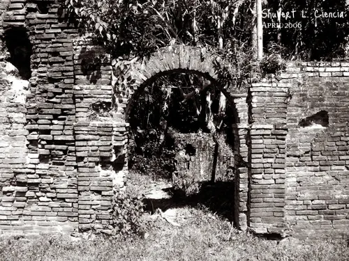
Lal-lo and Gattaran Shell Middens
Monument and historic site · 15.7 km
Archaeological site in Philippines
Parks, trails and playgrounds1

Restaurants and cafes6




History
In the place where Gattaran lies today were three former ecclesiastical towns: Nassiping, Dummun, and Gattaran proper. Nassiping is the oldest among the three, founded on June 15, 1596, with Santa Catalina as the patron saint; Dummun was founded on May 24, 1598, and Gattaran, May 20, 1623. Since each of these towns had few inhabitants and had only one priest to administer to their religious needs, they were merged for ecclesiastical convenience into one municipality in 1877 by virtue of a Diocesan Order from the Bishop of Nueva Segovia (Lallo). Fray Francisco Suejos, O.P. was the first Gobernadorcillo.
From the History section of Gattaran on Wikipedia, under CC BY-SA 4.0.
Where to stay3
Churches and places of worship1
Gas and EV charging5
Schools, colleges and libraries99
Healthcare3
Map of Gattaran
122 places. The map loads OpenStreetMap tiles when you open it.
Getting there and nearby towns
Cagayan North International Airport (LLC) is the nearest airport with scheduled flights listed in OpenStreetMap, 17 km away.
- Lasam 5 km west, about 5 min by car
- Alannay 6 km west, about 6 min by car
- Magapit 9 km north, about 9 min by car
- Solana 46 km south, about 46 min by car
- Tuguegarao 50 km south, about 50 min by car
- Santa Ana 70 km northeast, about 1 h 15 min by car
- Sanchez-Mira 71 km northwest, about 1 h 15 min by car
- Cabagan 72 km south, about 1 h 15 min by car
- Tabuk 75 km south, about 1 h 15 min by car
- Claveria 85 km northwest, about 1 h 30 min by car
Drive times are estimates from straight-line distance, not routes.
Local news
Headlines from INDB.
Reviews, tips and questions
Loading what members have shared...
Sources and licences
- GeoNames (CC BY 4.0): population, coordinates, regions and time zone
- Mapillary (see each image): photos
- OpenStreetMap contributors (ODbL 1.0): places, airports, map data
- Openverse (see each image): photos
- Wikidata (CC0 1.0): elevation, founding date, time zone, website, landmarks and historic places
- Wikimedia Commons (see each image): photos
- Wikipedia (CC BY-SA 4.0): overview and history text
Photo credits
- Gattaran Church - Flickr, Shubert Ciencia from Nueva Ecija, Philippines, CC BY 2.0
- Magapit Bridge, Lal-lo, Cagayan, Shubert Ciencia, CC BY 2.0
- Nassiping Church Ruins (Gattaran, Cagayan), ~MVI~ (warped), CC BY 2.0
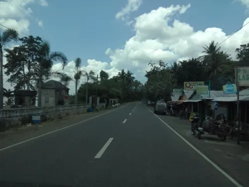
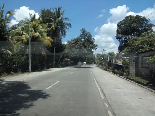
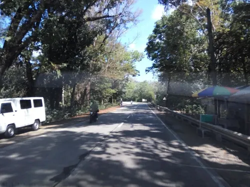
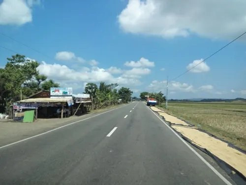
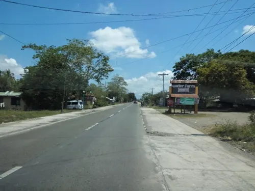
- Street-level photo, asdfasdf0986, CC BY-SA 4.0
- Street-level photo, asdfasdf0986, CC BY-SA 4.0
- Street-level photo, asdfasdf0986, CC BY-SA 4.0
- Street-level photo, asdfasdf0986, CC BY-SA 4.0
- Street-level photo, asdfasdf0986, CC BY-SA 4.0
- Street-level photo, asdfasdf0986, CC BY-SA 4.0
- Street-level photo, asdfasdf0986, CC BY-SA 4.0
Page built November 7, 2026. Spotted a mistake? Tell us or suggest a place.