


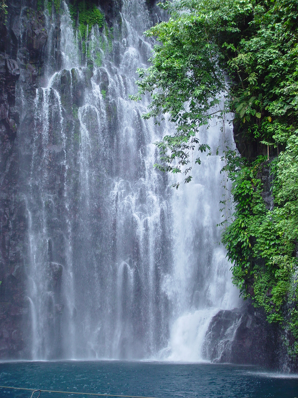


Linamon, Philippines
Linamon is a town of 6,848 people in Northern Mindanao, Philippines, founded in January 13, 1960.
Why visit Linamon
Townapedia lists 2 museums and landmarks, 4 parks and trails, 13 places to eat, 6 places to stay and 4 attractions in and around town.
Highlights include Maria Cristina Falls and Tinago Falls.
Weather in Linamon
Forecast from MET Norway (CC BY 4.0). Full forecast
About Linamon
Linamon, officially the Municipality of Linamon (Maranao: Inged a Linamon; Cebuano: Lungsod sa Linamon; Tagalog: Bayan ng Linamon), is a municipality in the province of Lanao del Norte, Philippines. According to the 2024 census, it has a population of 21,385 people.
From the Wikipedia article Linamon (this version), under CC BY-SA 4.0.
Things to do4


Tinago Falls
Waterfall · 3.9 km
Waterfall on the Agus River in the Philippines

Abaga Falls
Waterfall · 7.2 km
Waterfall on the island of Mindanao, Philippines
Museums and landmarks2

Parks, trails and playgrounds4


Restaurants and cafes13




1 more on the map.
History
Before the Spanish and American invasions, the majority of the people living in Linamon were Bisaya.
Under the National Land Settlement Administration (NLSA) of the Commonwealth Government, there was a Philippine House of Representatives proposal to utilize some of the land in Mindanao to help the Philippine Government. The settlers that were sent for this project were composed of people from the Islands of Visayas and Island Luzon. The first settlers were sent to the following areas:
In Lanao del Norte, the transport of settlers was successful due to the smooth negotiations with the Maranao tribal leaders and land lords. As a sign of welcoming, the land lords donated some of their land to the settlers. Resulting intermarriages between settlers and tribes led to the majority of those living in Lanao del Norte and Misamis Occidental having blood in the Maranao tribe.
When martial law was implemented, the settlement experienced conflict between Muslims and non-Muslims.
From the History section of Linamon on Wikipedia, under CC BY-SA 4.0.
Where to stay6
Churches and places of worship24
Kingdom Hall of Jehovah's Witnesses
Church · Jehovahs Witness · 1.5 km
Magoong Bridge
Shopping3
Gas and EV charging9
Schools, colleges and libraries44
Philippine Science High School - Northern Mindanao Campus in Lanao del Norte
School · 6.4 km
Iligan-Marawi Road, Balo-i
Saint Therese Academy
School · 7.0 km
President Diosdado Macapagal Avenue, Iligan City
Colegio de Iligan
School · 6.3 km
President Diosdado Macapagal Avenue, Iligan City
Iligan Multi-skills Development Institute
School · 7.1 km
President Diosdado Macapagal Avenue, Iligan City
Maria Cristina Falls Elementary School
School · 4.1 km
Iligan-Marawi Road, Iligan City
Maria Cristina National High School
School · 4.7 km
Misamis Oriental – Maria Cristina Boundary Road, Iligan City
Matungao National High School
School · 5.8 km
Balo-i-Matungao-Linamon Road, Matungao
Sultan Macalpang Permites Central School
School · 5.4 km
Balo-i-Matungao-Linamon Road, Matungao
Healthcare7
Map of Linamon
116 places. The map loads OpenStreetMap tiles when you open it.
Getting there and nearby towns
Maria Cristina Airport (IGN) is the nearest airport with scheduled flights listed in OpenStreetMap, 8 km away.
- Iligan 10 km northeast, about 10 min by car
- Marawi City 24 km southeast, about 24 min by car
- Iligan City 27 km east, about 27 min by car
- Naawan 31 km northeast, about 31 min by car
- Ozamiz City 36 km west, about 36 min by car
- Tudela 36 km west, about 36 min by car
- Tubod 43 km west, about 43 min by car
- Tangub 48 km west, about 48 min by car
- Oroquieta 52 km northwest, about 52 min by car
- Cagayan de Oro 63 km northeast, about 1 h by car
Drive times are estimates from straight-line distance, not routes.
Local news
Headlines from INDB.
Reviews, tips and questions
Loading what members have shared...
Sources and licences
- GeoNames (CC BY 4.0): population, coordinates, regions and time zone
- OpenStreetMap contributors (ODbL 1.0): places, airports, map data
- Wikidata (CC0 1.0): elevation, founding date, time zone, website, landmarks and historic places
- Wikimedia Commons (see each image): photos
- Wikipedia (CC BY-SA 4.0): overview and history text
Photo credits
- Linamon Bird's Eye View, Marwan Khan, CC BY-SA 4.0
- Maria Cristina Falls 2, Lawrence Ruiz, CC BY-SA 4.0
- Tinago Falls Iligan City 01, Paul van der Vegt, CC BY-SA 3.0
- Macapagal-Macaraeg House (56520), MadayawDavao, CC BY-SA 4.0
- Macapagal-Macaraeg House (78190), MadayawDavao, CC BY-SA 4.0
- Macapagal-Macaraeg Heritage House Gate, Jonathan Blaza, CC BY-SA 4.0
- Macapagal-Macaraeg Heritage House Historical Marker, Jonathan Blaza, CC BY-SA 4.0
- Macapagal-Macaraeg Heritage House, Jonathan Blaza, CC BY-SA 4.0
- Macapagal-Macaraeg Heritage House and Historical Marker, Jonathan Blaza, CC BY-SA 4.0
- Macapagal-Macaraeg Heritage House Historical Marker Close, Jonathan Blaza, CC BY-SA 4.0
- Macapagal-Macaraeg House (99071), MadayawDavao, CC BY-SA 4.0
- Macapagal-Macaraeg House (20141), MadayawDavao, CC BY-SA 4.0
- Gloria's Play House outside the Macapagal–Macaraeg House, MadayawDavao, CC BY-SA 4.0
- Macapagal-Macaraeg House (87002), MadayawDavao, CC BY-SA 4.0
- Macapagal-Macaraeg House, MadayawDavao, CC BY-SA 4.0
- Macapagal-Macaraeg House (65849), MadayawDavao, CC BY-SA 4.0
- Begonia cf. acuminatissima; inflorescence1, P.B. Pelser & J.F. Barcelona, CC BY 4.0
- Begonia acuminatissima leaf2, P.B. Pelser & J.F. Barcelona, CC BY 4.0
- Begonia cf. acuminatissima; staminate flower, P.B. Pelser & J.F. Barcelona, CC BY 4.0
- Begonia cf. acuminatissima; inflorescence, P.B. Pelser & J.F. Barcelona, CC BY 4.0
- Begonia cf. acuminatissima; fruit.1, P.B. Pelser & J.F. Barcelona, CC BY 4.0
- Begonia cf. acuminatissima; fruit, P.B. Pelser & J.F. Barcelona, CC BY 4.0
- Maria Christina Falls, Iligan (4), P.A.V. Mahusay, CC0
- Maria Christina Falls, Iligan, Lanao del Norte (1), P.A.V. Mahusay, CC0
- Maria Christina Falls, Iligan (2), P.A.V. Mahusay, CC0
- Maria Christina Falls, Iligan (3), P.A.V. Mahusay, CC0
- "Leap. Believe. Become.", HCTUB222, CC BY-SA 4.0
- ISS066-E-68950 - View of Earth, Earth Science and Remote Sensing Unit , Lyndon B. Johnson Space Center, Public domain
- ISS022-E-67325 - View of Earth, Earth Science and Remote Sensing Unit , Lyndon B. Johnson Space Center, Public domain
- Camp-overton-iligan-city, Unknown, Postcard is 112 years old., Public domain
- ISS066-E-68949 - View of Earth, Earth Science and Remote Sensing Unit , Lyndon B. Johnson Space Center, Public domain
- ISS022-E-85258 - View of Earth, Earth Science and Remote Sensing Unit , Lyndon B. Johnson Space Center, Public domain


Page built November 7, 2026. Spotted a mistake? Tell us or suggest a place.