




Cagayan de Oro, Philippines
Cagayan de Oro is a city of 741,617 people in Northern Mindanao, Philippines, founded in 1871.
Why visit Cagayan de Oro
Townapedia lists 13 museums and landmarks, 21 parks and trails, 230 places to eat, 63 places to stay and 5 attractions in and around town.
Highlights include Daily Fresh, MacArthur Memorial Marker, Casa del Chino Ygua (Balay nga Bato) and Gaston Park.
Weather in Cagayan de Oro
Forecast from MET Norway (CC BY 4.0). Full forecast
About Cagayan de Oro
Cagayan de Oro (CDO), officially the City of Cagayan de Oro, is a highly urbanized city in the Northern Mindanao region of the Philippines. According to the 2024 census, it has a population of 741,617 people, making it the 10th most populous city in the Philippines and the most populous in Northern Mindanao.
From the Wikipedia article Cagayan de Oro (this version), under CC BY-SA 4.0.
Travel tips from other travellers: Cagayan de Oro on Wikivoyage (CC BY-SA 4.0).
Things to do5

Daily Fresh
Farm and orchard · 1.5 km
Santo Niño Street
Mo-Sa 08:00-17:00

Museums and landmarks13

MacArthur Memorial Marker
Monument and historic site · 2.8 km
Monument commemorating Gen. Douglas MacArthur in Cagayan de Oro, Philippines

Casa del Chino Ygua (Balay nga Bato)
Monument and historic site · 0.7 km
Archbishop Hayes Street, Cagayan de Oro

Labanan sa Cagayan de Misamis
Monument and historic site · 0.9 km
Gaston Circle, Cagayan de Oro

Pagtataas ng Watawat ng Pilipinas sa Cagayan de Misamis
Monument and historic site · 0.9 km
J. V. Serina Street, Cagayan de Oro

City Museum of Cagayan de Oro
Museum · 1.0 km
M. Clemente Fernandez Street, Cagayan de Oro City
Mo-Fr 09:30-17:00

Sendong Memorial Wall
Monument and historic site · 1.0 km
Gaston Circle, Cagayan de Oro City
1 more on the map.
Parks, trails and playgrounds21



Gold City Coliseum
Sports field and stadium · 0.7 km
An old and abandoned boxing and cockfighting arena
Florentino Street, Cagayan de Oro City


9 more on the map.
Restaurants and cafes230


Babu Kwan
Restaurant · Asian
Yacapin Street, Cagayan de Oro City
Mo-Su 07:00-20:00
Cafè Pilar
Cafe · Cake, Coffee Shop, Sandwich, Breakfast, Pasta, Tea
Yacapin Street
Mo-Sa 08:00-20:00
Cucina Higala
Restaurant · Regional
222 General Capistrano Street
Mo-Su 11:00-21:00
Likha Cafe
Cafe · Burger, Cake, Coffee Shop, Pasta · 1.5 km
15th Street
Mo-Su 10:00-22:00
Redtail Shrimps & More
Restaurant · Seafood · 0.8 km
Florentino Street
Mo-Su 11:00-22:00
The Coffee Bean & Tea Leaf
Cafe · Coffee Shop · 1.1 km
Limketkai Avenue, Cagayan de Oro City
Mo-Th 07:00-23:00; Fr-Sa 07:00-24:00; Su 07:00-23:00
Ale
Restaurant · Filipino · 0.8 km
Florentino Street, Cagayan de Oro City
Mo-Su 07:00-22:00
Durian ni Duran
Cafe · Durian, Dessert, Filipino · 0.7 km
Tirso Neri Street, Cagayan de Oro City
Mo-Sa 09:00-18:00
218 more on the map.
Where to stay63
Plaza Star Business Hotel
Motel and hotel · 0.6 km
R. N. Abejuela Street, Cagayan de Oro City
Churches and places of worship30
Saint Augustine Metropolitan Cathedral
Church · Roman Catholic · 1.0 km
Gaston Circle, Cagayan de Oro City
The Feast Cagayan De Oro
Church · Roman Catholic · 1.0 km
Limketkai Avenue, Cagayan de Oro City
Jesus Christ Is Alive For All Nations Church
Church · Protestant
President E. Aguinaldo Street, Cagayan de Oro City
Jesus Nazareno Parish Church
Church · Roman Catholic · 0.7 km
C. M. Recto Avenue, Cagayan de Oro City
Oro Jama'ah Masjid
Place of worship · Sunni
President E. Aguinaldo Street, Cagayan de Oro City
Our Lady of the Blessed Sacrament
Church · Catholic · 1.1 km
R. N. Pelaez Boulevard, Cagayan de Oro City
San Antonio de Padua Church
Church · Roman Catholic · 1.4 km
12th Street, Cagayan de Oro City
Seventh-Day Adventist Church
Church · Seventh Day Adventist · 1.2 km
Julio Pacana Street, Cagayan de Oro City
The Church of Jesus Christ of Latter-day Saints
Church · Mormon · 1.1 km
R. N. Pelaez Boulevard, Cagayan de Oro City
Shopping90
SM CDO Downtown Premier
Shopping center · 0.9 km
C. M. Recto Avenue, Cagayan de Oro City
Gas and EV charging17
Schools, colleges and libraries43
University of Science and Technology of Southern Philippines
School · 1.1 km
C. M. Recto Avenue, Cagayan de Oro City
Liceo de Cagayan University
School · 1.0 km
R. N. Pelaez Boulevard, Cagayan de Oro City
Christian School for Life
School · Christian And Missionary Alliance · 0.7 km
187 President Quirino Street, Cagayan de Oro City
Angelicum Learning Center
School · 1.2 km
Mayor P. N. Roa Street, Cagayan de Oro City
Healthcare37
Northern Mindanao Medical Center
Hospital
C. M. Recto Avenue, Cagayan de Oro City
Allied Care Experts Medical Center
Hospital · 1.3 km
Don Limketkai Avenue, Cagayan de Oro City
ARC Kidney Care & Dialysis Center
Clinic and pharmacy · 1.3 km
C. M. Recto Avenue
Cagayan de Oro Maternity-Children’s Hospital and Puericulture Center
Hospital · 0.9 km
Justo Gaerlan Street, Cagayan de Oro City
Complete Solutions Pharmacy
Clinic and pharmacy
Corrales Avenue, Cagayan de Oro City
Map of Cagayan de Oro
250 places. The map loads OpenStreetMap tiles when you open it.
Getting there and nearby towns
Laguindingan Airport (CGY) is the nearest airport with scheduled flights listed in OpenStreetMap, 25 km away.
- Opol 9 km northwest, about 9 min by car
- Tagoloan 13 km northeast, about 13 min by car
- Villanueva 18 km northeast, about 18 min by car
- Libona 19 km southeast, about 19 min by car
- Manolo Fortich 27 km southeast, about 27 min by car
- Malitbog 27 km east, about 27 min by car
- Claveria 31 km northeast, about 31 min by car
- Balingasag 32 km northeast, about 32 min by car
- Iligan City 38 km southwest, about 38 min by car
- Initao 38 km west, about 38 min by car
Drive times are estimates from straight-line distance, not routes.
Local news
Headlines from INDB.
Reviews, tips and questions
Loading what members have shared...
Sources and licences
- GeoNames (CC BY 4.0): population, coordinates, regions and time zone
- OpenStreetMap contributors (ODbL 1.0): places, airports, map data
- Wikidata (CC0 1.0): elevation, founding date, time zone, website, landmarks and historic places
- Wikimedia Commons (see each image): photos
- Wikipedia (CC BY-SA 4.0): overview and history text
Photo credits
- CDO CM Recto-Corrales skyline alt (Cagayan De Oro City; 12-08-2023), Patrickroque01, CC BY-SA 4.0
- Cagayan de Oro Downtown Flyover - panoramio, Kenneth Rangas, CC BY 3.0
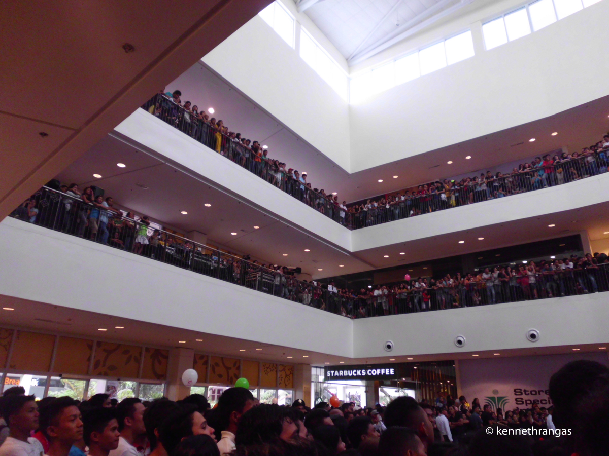
- Centrio Mall Cagayan de Oro Activity Centre - panoramio (1), Kenneth Rangas, CC BY 3.0
- Centrio Mall Cagayan de Oro Activity Centre - panoramio (2), Kenneth Rangas, CC BY 3.0
- Centrio Mall Cagayan de Oro Activity Centre - panoramio (3), Kenneth Rangas, CC BY 3.0
- Centrio Mall Cagayan de Oro - panoramio (2), Kenneth Rangas, CC BY 3.0
- Centrio Mall Cagayan de Oro - panoramio, Kenneth Rangas, CC BY 3.0
- Phils Cagayan de Oro City MacArthur Memorial Marker, Ryme26, CC BY-SA 3.0
- Saint Agustine Cathedral (Cagayan de Oro; 11-27-2021), patrickroque01, CC BY-SA 4.0
- Limketkai Mall NE side, Sy.Paul, CC0
- Casa del Chino Ygua NHI historical marker, Photo: Ronald Lemu; perspective correction: Eugene Alvin Villar ( seav ), CC BY-SA 4.0
- Labanan sa Cagayan de Misamis NHI Marker - 2000, Bap Flores, CC0
- Pagtataas ng Watawat ng Pilipinas sa Cagayan de Misamis Marker, Bap Flores, CC0
- Gaston Park fountain sunset (Capistrano, Cagayan De Oro City; 12-06-2023), Patrickroque01, CC BY-SA 4.0
- Exit, 影丸, CC BY 3.0
- MMTTCCI - panoramio, Rocky3068, CC BY-SA 3.0
- Centrio Mall - Corrales Avenue - panoramio, Kenneth Rangas, CC BY 3.0
- Centrio Mall - panoramio (1), Kenneth Rangas, CC BY 3.0
- Seda Hotel from Chowking - panoramio, Kenneth Rangas, CC BY 3.0
- Centrio Garden - panoramio (1), Kenneth Rangas, CC BY 3.0
- Centrio Mall Acacia Tree - panoramio, Kenneth Rangas, CC BY 3.0
- Centrio Mall - panoramio (2), Kenneth Rangas, CC BY 3.0
- Centrio - panoramio, Kenneth Rangas, CC BY 3.0
- Inside Centrio - panoramio, Kenneth Rangas, CC BY 3.0
- Centrio Mall - panoramio (6), Kenneth Rangas, CC BY 3.0
- Technomart Coputers & Consumer Electronics - panoramio, Rocky3068, CC BY-SA 3.0
- Seda Hotel - panoramio (1), Kenneth Rangas, CC BY 3.0
- Centrio Mall to the Centrio Garden - panoramio, Kenneth Rangas, CC BY 3.0
- Licoan Flyover - panoramio, Kenneth Rangas, CC BY 3.0
- Centrio Garden Staircase - panoramio, Kenneth Rangas, CC BY 3.0
- Centrio Mall - panoramio (4), Kenneth Rangas, CC BY 3.0
- Centrio Mall - panoramio (9), Kenneth Rangas, CC BY 3.0
- Centrio Mall - panoramio (3), Kenneth Rangas, CC BY 3.0
- Centrio Mall - panoramio (8), Kenneth Rangas, CC BY 3.0
- Centrio Garden at Night - panoramio, Kenneth Rangas, CC BY 3.0
- Centrio Mall Playground - panoramio, Kenneth Rangas, CC BY 3.0
- Novo Store - panoramio, Rocky3068, CC BY-SA 3.0
- Centrio Garden Path - panoramio, Kenneth Rangas, CC BY 3.0
- Centrio Garden - panoramio, Kenneth Rangas, CC BY 3.0
- Octagon Coputer Super Store - panoramio, Rocky3068, CC BY-SA 3.0


Page built November 8, 2026. Spotted a mistake? Tell us or suggest a place.