



Mamungan, Philippines
Balo-i
Mamungan is a town of 7,700 people in Northern Mindanao, Philippines.
Why visit Mamungan
Townapedia lists 1 place to eat and 4 attractions in and around town.
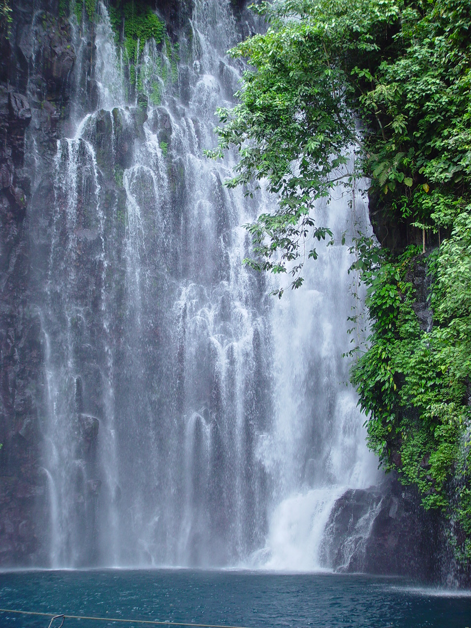
Highlights include Maria Cristina Falls and Tinago Falls.
Weather in Mamungan
Forecast from MET Norway (CC BY 4.0). Full forecast
About Mamungan
Balo-i, officially the Municipality of Balo-i (Maranao: Inged a Balo-i; Cebuano: Lungsod sa Balo-i; Tagalog: Bayan ng Balo-i), is a municipality in the province of Lanao del Norte, Philippines. According to the 2024 census, it has a population of 74,003 people.
From the Wikipedia article Balo-i (this version), under CC BY-SA 4.0.
Things to do4


Tinago Falls
Waterfall · 5.9 km
Waterfall on the Agus River in the Philippines

Abaga Falls
Waterfall · 3.9 km
Waterfall on the island of Mindanao, Philippines

Restaurants and cafes1

Churches and places of worship1

Shopping1

History
The town was created from the municipal districts of Momungan, Pantar, and Balut (August 1, 1948). It is the mother town of Tagoloan (June 21, 1969) and Pantar (June 11, 1978).
From the History section of Balo-i on Wikipedia, under CC BY-SA 4.0.
Gas and EV charging5
Schools, colleges and libraries82
Philippine Science High School - Northern Mindanao Campus in Lanao del Norte
School · 3.4 km
Iligan-Marawi Road, Balo-i
Matungao National High School
School · 5.9 km
Balo-i-Matungao-Linamon Road, Matungao
Sultan Macalpang Permites Central School
School · 6.3 km
Balo-i-Matungao-Linamon Road, Matungao
Healthcare3
Map of Mamungan
97 places. The map loads OpenStreetMap tiles when you open it.
Getting there and nearby towns
Maria Cristina Airport (IGN) is the nearest airport with scheduled flights listed in OpenStreetMap, 2 km away.
- Linamon 10 km northwest, about 10 min by car
- Iligan 13 km north, about 13 min by car
- Marawi City 15 km southeast, about 15 min by car
- Iligan City 25 km northeast, about 25 min by car
- Naawan 36 km north, about 36 min by car
- Kolambugan 35 km west, about 35 min by car
- Clarin 41 km west, about 41 min by car
- Ozamiz City 42 km west, about 42 min by car
- Initao 44 km north, about 44 min by car
- Tubod 48 km west, about 48 min by car
Drive times are estimates from straight-line distance, not routes.
Local news
Headlines from INDB.
Reviews, tips and questions
Loading what members have shared...
Sources and licences
- GeoNames (CC BY 4.0): population, coordinates, regions and time zone
- OpenStreetMap contributors (ODbL 1.0): places, airports, map data
- Wikidata (CC0 1.0): elevation, founding date, time zone, website, landmarks and historic places
- Wikimedia Commons (see each image): photos
- Wikipedia (CC BY-SA 4.0): overview and history text
Photo credits
- Maria Cristina Falls 2, Lawrence Ruiz, CC BY-SA 4.0
- Tinago Falls Iligan City 01, Paul van der Vegt, CC BY-SA 3.0
- "Leap. Believe. Become.", HCTUB222, CC BY-SA 4.0
- Begonia cf. acuminatissima; inflorescence1, P.B. Pelser & J.F. Barcelona, CC BY 4.0
- Begonia acuminatissima leaf2, P.B. Pelser & J.F. Barcelona, CC BY 4.0
- Begonia cf. acuminatissima; staminate flower, P.B. Pelser & J.F. Barcelona, CC BY 4.0
- Begonia cf. acuminatissima; inflorescence, P.B. Pelser & J.F. Barcelona, CC BY 4.0
- Begonia cf. acuminatissima; fruit.1, P.B. Pelser & J.F. Barcelona, CC BY 4.0
- Begonia cf. acuminatissima; fruit, P.B. Pelser & J.F. Barcelona, CC BY 4.0


Page built November 7, 2026. Spotted a mistake? Tell us or suggest a place.