


Why visit Matalom
Townapedia lists 1 museum or landmark, 3 parks and trails, 19 places to eat, 1 place to stay and 3 attractions in and around town.
Weather in Matalom
Forecast from MET Norway (CC BY 4.0). Full forecast
About Matalom
Matalom (IPA: [mɐ'talom]), officially the Municipality of Matalom (Cebuano: Lungsod sa Matalom; Waray: Bungto han Matalom; Tagalog: Bayan ng Matalom), is a municipality in the province of Leyte, Philippines. According to the 2024 census, it has a population of 32,604 people.
From the Wikipedia article Matalom (this version), under CC BY-SA 4.0.
Travel tips from other travellers: Matalom on Wikivoyage (CC BY-SA 4.0).
Things to do3



Museums and landmarks1
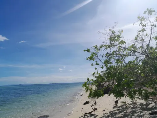
Parks, trails and playgrounds3
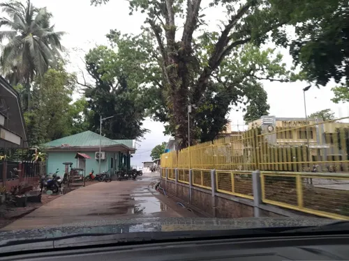

Restaurants and cafes19

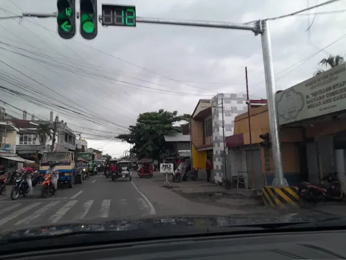

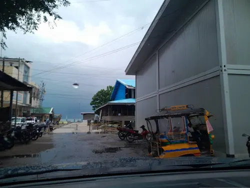

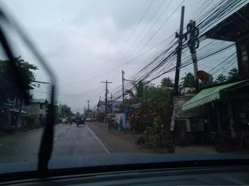
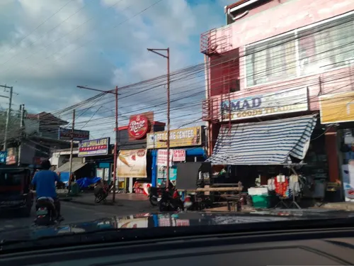
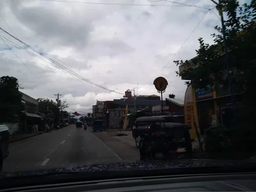



7 more on the map.
History
Before Ferdinand Magellan discovered the Philippines, a sea-faring people lived along the banks of the Matalom River and also on the islet of Canigao (formerly Comigao).
In the middle of the 19th century, the townspeople of Matalom constructed their own parish church, convent, school, and public buildings through their own efforts. These were all accomplished with the leadership of Spanish Friar Leonardo Celes Diaz and Capitan Calixto Pil believed to be the founder and first president of the town.
Leadership in the town's administration may be divided into three regimes: Spanish, American and Postwar (Philippine Independence). The first president of Matalom during the Spanish regime was Capitan Calixto Pil. Succession to the chair of president was patterned after the original dynasty set up by the natives, by Pal and Pil families. Thus, after Kapitan "Itong" (Cpt. Calixto Pil) his son followed. Next in line was Kapitan "Osting" (Cpt. Agustin Pil) then Kapitan "Kulas" (Cpt. Nicolas Pal), then Kapitan "Bentoy" (Cpt. Ruberto Pal), the last president before the transition period from Spanish to American regimes. The council members were then called, "Guinhaupan," acknowledged leader in settlements, now barrios or sitios.
From the History section of Matalom on Wikipedia, under CC BY-SA 4.0.
Where to stay1
Churches and places of worship15
Reformed Baptist Church Christian Church of Matalom, Leyte
Church · Baptist · 1.6 km
Cogon Road
Holy Child Catholic Church
Church · Roman Catholic · 4.9 km
A. Bonifacio Street, Bato
Lokal ng Matalom, Iglesia ni Cristo
Church · Iglesia Ni Cristo · 0.7 km
J. P. Rizal Avenue
Divine Mercy Shrine
Church · 1.6 km
Ormoc – Baybay – Southern Leyte Boundary Road, Matalom
Shopping5
Gas and EV charging9
Schools, colleges and libraries57
Healthcare9
Map of Matalom
122 places. The map loads OpenStreetMap tiles when you open it.
Getting there and nearby towns
Mactan–Cebu International Airport (CEB) is the nearest airport with scheduled flights listed in OpenStreetMap, 88 km away.
- Inopacan 25 km north, about 25 min by car
- Sogod 24 km northeast, about 24 min by car
- Baybay 44 km north, about 44 min by car
- Ubay 43 km southwest, about 43 min by car
- Trinidad 54 km southwest, about 54 min by car
- Burauen 78 km north, about 1 h 15 min by car
- Ormoc 83 km north, about 1 h 30 min by car
- Inabanga 84 km west, about 1 h 30 min by car
- Jagna 84 km southwest, about 1 h 30 min by car
- Danao 87 km west, about 1 h 30 min by car
Drive times are estimates from straight-line distance, not routes.
Local news
Headlines from INDB.
Reviews, tips and questions
Loading what members have shared...
Sources and licences
- GeoNames (CC BY 4.0): population, coordinates, regions and time zone
- Mapillary (see each image): photos
- OpenStreetMap contributors (ODbL 1.0): places, airports, map data
- Wikidata (CC0 1.0): elevation, founding date, time zone, website
- Wikimedia Commons (see each image): photos
- Wikipedia (CC BY-SA 4.0): overview and history text
Photo credits
- Picture 577, Joemill Flordelis, CC BY 3.0
- BarangayHallCN, LokiMikael1, CC BY-SA 4.0
- Sunset at Canigao island - panoramio - Gonchang, Gonchang, CC BY 3.0
- Sunset at Canigao island - panoramio, Gonchang, CC BY 3.0
- Sunset at Canigao island - panoramio - Gonchang (1), Gonchang, CC BY 3.0
- ISS038-E-904 - View of Pacific Ocean, Earth Science and Remote Sensing Unit , Lyndon B. Johnson Space Center, Public domain
- ISS038-E-1082 - View of Earth, Earth Science and Remote Sensing Unit , Lyndon B. Johnson Space Center, Public domain
- ISS044-E-51511 - View of Earth, Earth Science and Remote Sensing Unit , Lyndon B. Johnson Space Center, Public domain
- Street-level photo, ericb1983, CC BY-SA 4.0
- Street-level photo, ericb1983, CC BY-SA 4.0
- Street-level photo, ericb1983, CC BY-SA 4.0
- Street-level photo, ericb1983, CC BY-SA 4.0
- Street-level photo, ericb1983, CC BY-SA 4.0
- Street-level photo, ericb1983, CC BY-SA 4.0
- Street-level photo, ericb1983, CC BY-SA 4.0
- Street-level photo, ericb1983, CC BY-SA 4.0
- Street-level photo, ericb1983, CC BY-SA 4.0
- Street-level photo, ericb1983, CC BY-SA 4.0
- Street-level photo, ericb1983, CC BY-SA 4.0
- Street-level photo, ericb1983, CC BY-SA 4.0
- Street-level photo, ericb1983, CC BY-SA 4.0
- Street-level photo, ericb1983, CC BY-SA 4.0
- Street-level photo, jay_ragub, CC BY-SA 4.0
- Street-level photo, ericb1983, CC BY-SA 4.0
- Street-level photo, ericb1983, CC BY-SA 4.0
- Street-level photo, ericb1983, CC BY-SA 4.0
- Street-level photo, ericb1983, CC BY-SA 4.0
- Street-level photo, ericb1983, CC BY-SA 4.0
- Street-level photo, ericb1983, CC BY-SA 4.0
- Street-level photo, ericb1983, CC BY-SA 4.0


Page built November 7, 2026. Spotted a mistake? Tell us or suggest a place.